
Photo: Lviatour · CC BY-SA 3.0 · Wikimedia Commons
Cumbre ViejaReport this photo · linked, not stored
Cumbre ViejaReport this photo · linked, not stored

Photo: I, Luc Viatour · CC BY-SA 3.0 · Wikimedia Commons
Roque de los MuchachosReport this photo · linked, not stored
Roque de los MuchachosRoque de los MuchachosReport this photo · linked, not stored

Photo: Earth Science and Remote Sensing Unit, Lyndon B. Johnson Space Center · Public domain · Wikimedia Commons
Caldera de TaburienteReport this photo · linked, not stored
Caldera de TaburienteCaldera de TaburienteReport this photo · linked, not stored

Photo: Tony Hisgett from Birmingham, UK · CC BY 2.0 · Wikimedia Commons
Cumbre NuevaReport this photo · linked, not stored
Cumbre NuevaCumbre NuevaReport this photo · linked, not stored

Photo: Foto: Reinhard Kraasch, Lizenz: CC-BY-SA 4.0 DE · CC BY-SA 4.0 · Wikimedia Commons
Volcán de la DeseadaReport this photo · linked, not stored
Volcán de la DeseadaVolcán de la DeseadaReport this photo · linked, not stored
Canary Islands · SpainSummit weather, forecast and climate
Cumbre Vieja
Volcano1,944 m
Elevation1,944 mabove sea level
Prominence577 mindependent height
Isolation12 kmto a higher summit
Summit, Jul24°average high
28.57° N, 17.83° WElevation 1,944 mUTC+1 · Western European Summer Time
From the valley to the top
- Summit1,944 m
- Mid-mountain1,200 m
- Valley · Mazo464 m
Freezing level in October: above the summit
iThe mountain
Cumbre Vieja in brief
Cumbre Vieja rises to 1,944 m, Canary Islands, Spain. Its topographic prominence — the height it stands above the lowest contour enclosing a higher summit — is 577 m.
At the summit, July is the mildest month with average highs of 24°, while nights rarely fall below freezing.
The nearest town in the atlas is Mazo, 7.2 km to the NE at 464 m.
Facts
- Elevation
- 1,944 m · 6,378 ft
- Prominence
- 577 m
- Region
- Canary Islands
- Country
- Spain
- Coordinates
- 28.5667, -17.8333
- Nearest airport
- La Palma Airport (SPC) · 10 km
iiForecast
Weather at three heights
Temperatures are adjusted to each height; summits are usually colder and windier than the valley forecast suggests.
Loading the latest forecast…
Loading the latest forecast…
Loading the latest forecast…
iiiSummit climate
The top of Cumbre Vieja by month
Summit temperatures and precipitation
Climate normals for the summit area (~1 km grid), station-adjusted| Month | Jan | Feb | Mar | Apr | May | Jun | Jul | Aug | Sep | Oct | Nov | Dec |
|---|---|---|---|---|---|---|---|---|---|---|---|---|
| Average high | 11° | 11° | 12° | 12° | 15° | 20° | 24° | 23° | 20° | 16° | 13° | 12° |
| Average low | 10° | 10° | 10° | 11° | 14° | 19° | 23° | 22° | 19° | 15° | 12° | 10° |
| Precipitation | 91 mm | 103 mm | 71 mm | 39 mm | 14 mm | 4 mm | 2 mm | 3 mm | 18 mm | 74 mm | 107 mm | 148 mm |
| Cloud cover | 26% | 22% | 21% | 20% | 15% | 6% | 2% | 5% | 13% | 20% | 27% | 28% |
| Daylight | 10h 31 | 11h 11 | 11h 58 | 12h 51 | 13h 34 | 13h 57 | 13h 48 | 13h 11 | 12h 21 | 11h 30 | 10h 44 | 10h 20 |
| Month score | 37 | 34 | 48 | 60 | 78 | 99 | 99 | 99 | 95 | 69 | 46 | 34 |
Snow and freezing level
Average height of the 0 °C level from the summit normals (6.5 °C per km); snow months have a summit mean at or below +1 °C| Month | Jan | Feb | Mar | Apr | May | Jun | Jul | Aug | Sep | Oct | Nov | Dec |
|---|---|---|---|---|---|---|---|---|---|---|---|---|
| Freezing level | 3,500 m | 3,500 m | 3,650 m | 3,750 m | 4,100 m | 4,900 m | 5,550 m | 5,450 m | 4,850 m | 4,300 m | 3,900 m | 3,650 m |
| Summit | above 0 °C | above 0 °C | above 0 °C | above 0 °C | above 0 °C | above 0 °C | above 0 °C | above 0 °C | above 0 °C | above 0 °C | above 0 °C | above 0 °C |
ivTerrain
Cumbre Vieja in 3D
vNeighbours
Mountains of SpainPeaks nearby
| Mountain | Elevation | Prominence | Distance | July summit high |
|---|---|---|---|---|
| Roque de los Muchachos | 2,426 m | 2,423 m | 21 km N | 26° |
| Caldera de Taburiente | 2,426 m | 2,420 m | 22 km N | 26° |
| Cumbre Nueva | 2,067 m | – | 12 km N | 24° |
| Volcán de la Deseada | 1,944 m | 577 m | 0.5 km NW | 24° |
| Volcano of San Juan | 1,809 m | – | 4.7 km NW | 23° |
| Pico Birigoyo | 1,807 m | – | 4.3 km N | 24° |
| Montaña Quemada | 1,362 m | – | 6.5 km N | 25° |
| San Antonio | 631 m | – | 9.1 km S | 27° |
viBase towns
Where to stay nearby
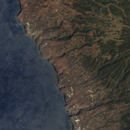
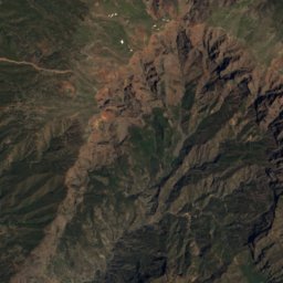
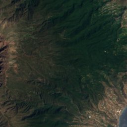
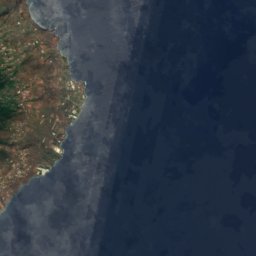

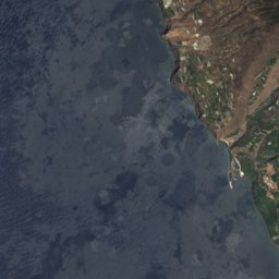
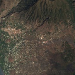
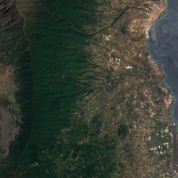

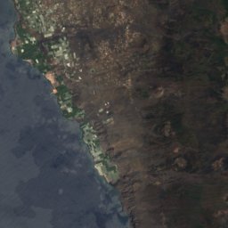
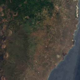


Satellite: Sentinel-2 cloudless 2016 by EOX IT Services GmbH · CC BY 4.0 · Contains modified Copernicus Sentinel data 2016
Mazo
Canary Islands · 7.2 km NE
24°Oct high
7wet days
84score
Satellite: Sentinel-2 cloudless 2016 by EOX IT Services GmbH · CC BY 4.0 · Contains modified Copernicus Sentinel data 2016
Breña Baja
Canary Islands · 8.3 km NE
23°Oct high
7wet days
84score


Fuencaliente de La Palma
Canary Islands · 8.3 km S
22°Oct high
6wet days
87score
Around here
Mazo and around
Nature

Caldera de Taburiente National Park
National park · 2,426 m

Photo: Frank Vincentz stitched by Marku1988 This panoramic image was created with Autos · CC BY-SA 3.0 · Wikimedia CommonsReport this photo · linked, not stored
Laguna de Barlovento
Lake

Photo: Photograph by Mike Peel (www.mikepeel.net). · CC BY-SA 4.0 · Wikimedia CommonsReport this photo · linked, not stored
Cascada de los Tilos
Waterfall
Mountains
Photo: Earth Science and Remote Sensing Unit, Lyndon B. Johnson Space Center · Public domain · Wikimedia CommonsReport this photo · linked, not stored
Caldera de Taburiente
2,426 m
Photo: Tony Hisgett from Birmingham, UK · CC BY 2.0 · Wikimedia CommonsReport this photo · linked, not stored
Cumbre Nueva
2,067 m
Heritage


Photo: Photograph by Mike Peel (www.mikepeel.net). · CC BY-SA 4.0 · Wikimedia CommonsReport this photo · linked, not stored
Castle of Santa Catalina, Santa Cruz de La Palma
bien de interés cultural · 1683

Iglesia de San Nicolás de Bari, Todoque
bien de interés cultural
Museums

Photo: Photograph by Mike Peel (www.mikepeel.net). · CC BY-SA 4.0 · Wikimedia CommonsReport this photo · linked, not stored


