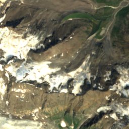
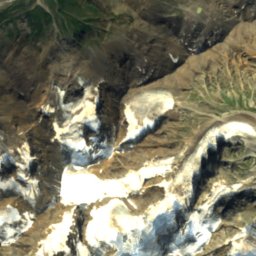
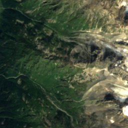
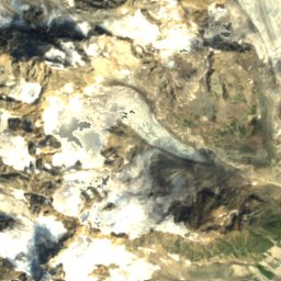
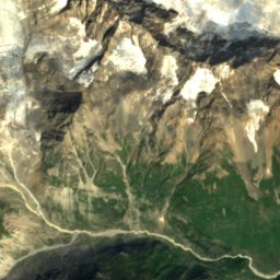
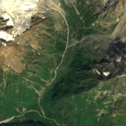
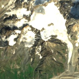
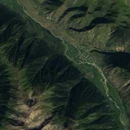
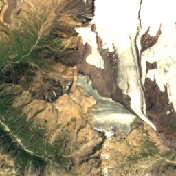
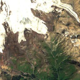
Photo: Jason Blue-Smith · CC BY-SA 2.0 · Wikimedia Commons
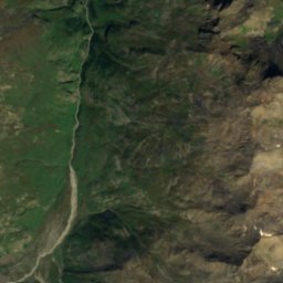
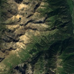
Mount ElbrusReport this photo · linked, not stored
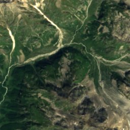
Mount ElbrusReport this photo · linked, not stored

Photo: Dmitry A. Mottl · CC BY-SA 4.0 · Wikimedia Commons
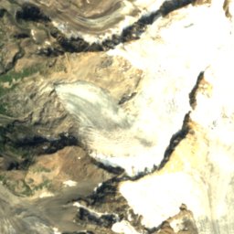
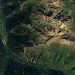
DonguzorunReport this photo · linked, not stored
DonguzorunDonguzorunReport this photo · linked, not stored
 Babis Mta

Photo: Earth Science and Remote Sensing Unit, Lyndon B. Johnson Space Center · Public domain · Wikimedia Commons
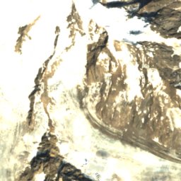
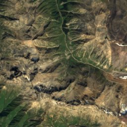
Kalitsky PeakReport this photo · linked, not stored
Kalitsky PeakKalitsky PeakReport this photo · linked, not stored
Bokovoy Range · Kabardino-Balkariya Republic · RussiaSummit weather, forecast and climate
Mount Elbrus
5,642 mUltra-prominent peakSnow likely Jan–Dec
Elevation5,642 mabove sea level
Prominence4,741 mindependent height
Isolation–to a higher summit
Summit, Jul-1°average high
43.35° N, 42.44° EElevation 5,642 mUTC+3 · Moscow Standard Time
From the valley to the top
- Summit5,642 m
- Mid-mountain3,890 m
- Valley · Terskol2,141 m
Freezing level in October: 2,800 m
iThe mountain
Mount Elbrus in brief
Mount Elbrus rises to 5,642 m in the Bokovoy Range, Kabardino-Balkariya Republic, Russia. Its topographic prominence — the height it stands above the lowest contour enclosing a higher summit — is 4,741 m, which makes it an ultra-prominent peak.
At the summit, July is the mildest month with average highs of -1°, while nights stay below freezing all year. Even daytime highs stay below zero in every month.
The nearest town in the atlas is Terskol, 12 km to the SE at 2,141 m.
Facts
- Elevation
- 5,642 m · 18,510 ft
- Prominence
- 4,741 m
- Range
- Bokovoy Range
- Region
- Kabardino-Balkariya Republic
- Country
- Russia
- Coordinates
- 43.3525, 42.4379
- Nearest airport
- Nalchik Airport (NAL) · 98 km
iiForecast
Weather at three heights
Temperatures are adjusted to each height; summits are usually colder and windier than the valley forecast suggests.
Loading the latest forecast…
Loading the latest forecast…
Loading the latest forecast…
iiiSummit climate
The top of Mount Elbrus by month
Summit temperatures and precipitation
Climate normals for the summit area (~1 km grid), station-adjusted| Month | Jan | Feb | Mar | Apr | May | Jun | Jul | Aug | Sep | Oct | Nov | Dec |
|---|---|---|---|---|---|---|---|---|---|---|---|---|
| Average high | -27° | -26° | -22° | -17° | -13° | -6° | -1° | -1° | -7° | -13° | -21° | -26° |
| Average low | -35° | -34° | -31° | -25° | -22° | -16° | -10° | -11° | -17° | -23° | -30° | -34° |
| Precipitation | 174 mm | 140 mm | 200 mm | 261 mm | 289 mm | 358 mm | 342 mm | 321 mm | 262 mm | 250 mm | 240 mm | 196 mm |
| Cloud cover | 49% | 49% | 50% | 50% | 44% | 35% | 19% | 18% | 24% | 34% | 44% | 47% |
| Daylight | 9h 19 | 10h 31 | 11h 52 | 13h 23 | 14h 40 | 15h 23 | 15h 06 | 14h 00 | 12h 33 | 11h 05 | 9h 44 | 8h 59 |
| Month score | 17 | 17 | 17 | 17 | 19 | 23 | 25 | 25 | 25 | 23 | 19 | 18 |
Snow and freezing level
Average height of the 0 °C level from the summit normals (6.5 °C per km); snow months have a summit mean at or below +1 °C| Month | Jan | Feb | Mar | Apr | May | Jun | Jul | Aug | Sep | Oct | Nov | Dec |
|---|---|---|---|---|---|---|---|---|---|---|---|---|
| Freezing level | 850 m | 1,050 m | 1,600 m | 2,400 m | 3,000 m | 3,900 m | 4,750 m | 4,700 m | 3,850 m | 2,800 m | 1,750 m | 1,050 m |
| Summit | ❄ snow | ❄ snow | ❄ snow | ❄ snow | ❄ snow | ❄ snow | ❄ snow | ❄ snow | ❄ snow | ❄ snow | ❄ snow | ❄ snow |
ivTerrain
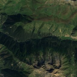
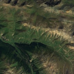
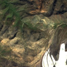
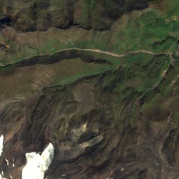
Mount Elbrus in 3D
vNeighbours
Mountains of RussiaPeaks nearby
| Mountain | Elevation | Prominence | Distance | July summit high |
|---|---|---|---|---|
| Kukurtlu | 4,978 m | 18 m | 2.9 km SW | 4° |
| Donguzorun | 4,454 m | 1,087 m | 19 km S | 6° |
| Babis Mta | 4,454 m | 1,087 m | 19 km S | 6° |
| Ledeshti | 3,826 m | – | 21 km S | 9° |
| Leyraki | 3,755 m | – | 22 km S | 10° |
| Lakra | 3,720 m | – | 23 km S | 10° |
| Kyzylkaya, Kabardino-Balkariya Republic | 3,639 m | – | 10 km N | 10° |
| Kalitsky Peak | 3,581 m | 230 m | 7.9 km E | 10° |
viBase towns
Where to stay nearby


Around here