
Photo: José Luís Ávila Silveira/Pedro Noronha e Costa · Public domain · Wikimedia Commons
Mount PicoReport this photo · linked, not stored
Mount PicoReport this photo · linked, not stored
Mid-Atlantic Ridge · Azores · PortugalSummit weather, forecast and climate
Mount Pico
Stratovolcano · last major eruption 17182,351 mUltra-prominent peak
Elevation2,351 mabove sea level
Prominence2,351 mindependent height
Isolation–to a higher summit
Summit, Jul15°average high
38.47° N, 28.40° WElevation 2,351 mUTC+0 · Azores Summer Time
From the valley to the top
- Summit2,351 m
- Mid-mountain1,220 m
- Valley · São Caetano96 m
Freezing level in October: above the summit
iThe mountain
Mount Pico in brief
Mount Pico rises to 2,351 m in the Mid-Atlantic Ridge, Azores, Portugal. Its topographic prominence — the height it stands above the lowest contour enclosing a higher summit — is 2,351 m, which makes it an ultra-prominent peak.
At the summit, August is the mildest month with average highs of 15°, while nights rarely fall below freezing.
The nearest town in the atlas is São Caetano, 4.8 km to the SW at 96 m.
iiForecast
Weather at three heights
Temperatures are adjusted to each height; summits are usually colder and windier than the valley forecast suggests.
Loading the latest forecast…
Loading the latest forecast…
Loading the latest forecast…
iiiSummit climate
The top of Mount Pico by month
Summit temperatures and precipitation
Climate normals for the summit area (~1 km grid), station-adjusted| Month | Jan | Feb | Mar | Apr | May | Jun | Jul | Aug | Sep | Oct | Nov | Dec |
|---|---|---|---|---|---|---|---|---|---|---|---|---|
| Average high | 6° | 5° | 6° | 6° | 8° | 12° | 15° | 15° | 13° | 10° | 8° | 6° |
| Average low | 4° | 4° | 4° | 5° | 7° | 11° | 14° | 14° | 12° | 9° | 6° | 5° |
| Precipitation | 161 mm | 162 mm | 165 mm | 112 mm | 111 mm | 94 mm | 48 mm | 76 mm | 144 mm | 188 mm | 194 mm | 230 mm |
| Cloud cover | 53% | 52% | 50% | 45% | 40% | 34% | 21% | 22% | 35% | 44% | 50% | 53% |
| Daylight | 9h 46 | 10h 46 | 11h 55 | 13h 11 | 14h 15 | 14h 50 | 14h 36 | 13h 41 | 12h 28 | 11h 14 | 10h 06 | 9h 30 |
| Month score | 15 | 16 | 17 | 21 | 23 | 42 | 70 | 63 | 40 | 21 | 17 | 15 |
Snow and freezing level
Average height of the 0 °C level from the summit normals (6.5 °C per km); snow months have a summit mean at or below +1 °C| Month | Jan | Feb | Mar | Apr | May | Jun | Jul | Aug | Sep | Oct | Nov | Dec |
|---|---|---|---|---|---|---|---|---|---|---|---|---|
| Freezing level | 3,100 m | 3,000 m | 3,150 m | 3,200 m | 3,500 m | 4,150 m | 4,550 m | 4,550 m | 4,300 m | 3,850 m | 3,450 m | 3,200 m |
| Summit | above 0 °C | above 0 °C | above 0 °C | above 0 °C | above 0 °C | above 0 °C | above 0 °C | above 0 °C | above 0 °C | above 0 °C | above 0 °C | above 0 °C |
ivTerrain
Mount Pico in 3D
vNeighbours
Mountains of PortugalPeaks nearby
| Mountain | Elevation | Prominence | Distance | July summit high |
|---|---|---|---|---|
| Caldeira de Santa Barbara | 863 m | – | 17 km E | 18° |
viBase towns
Where to stay nearby


Photo: José Luís Ávila Silveira/Pedro Noronha e Costa · Public domain · Wikimedia CommonsReport this photo · linked, not stored
São Mateus
Azores · 6.2 km SW
20°Oct high
16wet days
63score

Photo: José Luís Ávila Silveira/Pedro Noronha e Costa · Public domain · Wikimedia CommonsReport this photo · linked, not stored
São João
Azores · 7.9 km SE
21°Oct high
16wet days
63score

Around here
São Caetano and around
Nature
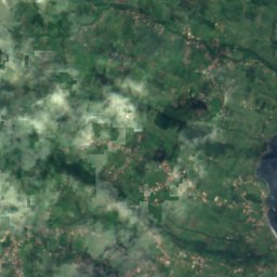

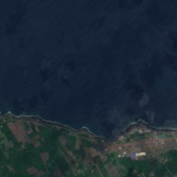
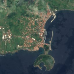

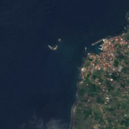


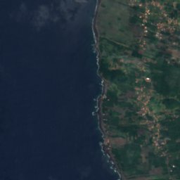
Satellite: Sentinel-2 cloudless 2016 by EOX IT Services GmbH · CC BY 4.0 · Contains modified Copernicus Sentinel data 2016
Gruta das Torres
Cave

Photo: José Luís Ávila Silveira/Pedro Noronha e Costa · Public domain · Wikimedia CommonsReport this photo · linked, not stored
Lagoa do Capitão
Lake · 790 m

Mountains

Photo: José Luís Ávila Silveira/Pedro Noronha e Costa · Public domain · Wikimedia CommonsReport this photo · linked, not stored
Pico da Esperança
1,053 m · Mid-Atlantic Ridge


Photo: José Luís Ávila Silveira/Pedro Noronha e Costa · Public domain · Wikimedia CommonsReport this photo · linked, not stored
Morro Pelado
1,019 m
Heritage

Photo: José Luís Ávila Silveira/Pedro Noronha e Costa · Public domain · Wikimedia CommonsReport this photo · linked, not stored
convent of São Pedro de Alcântara
Immovable Cultural Heritage of Public Interest









Satellite: Sentinel-2 cloudless 2016 by EOX IT Services GmbH · CC BY 4.0 · Contains modified Copernicus Sentinel data 2016
Landscape of the Pico Island Vineyard Culture
National Monument of Portugal

Windmill of São João (Lajes do Pico)
Immovable Cultural Heritage of Municipal Interest


