

Photo: Marlene Angeja · CC BY-SA 2.0 · Wikimedia Commons
CapelinhosReport this photo · linked, not stored
CapelinhosCapelinhosReport this photo · linked, not stored
Mid-Atlantic Ridge · Azores · PortugalSummit weather, forecast and climate
Cabeço Gordo
Stratovolcano · last major eruption 16721,043 mMajor summit
Elevation1,043 mabove sea level
Prominence1,043 mindependent height
Isolation30 kmto a higher summit
Summit, Jul20°average high
38.59° N, 28.71° WElevation 1,043 mUTC+0 · Azores Summer Time
From the valley to the top
- Summit1,043 m
- Mid-mountain650 m
- Valley · Praia do Norte255 m
Freezing level in October: above the summit
iThe mountain
Cabeço Gordo in brief
Cabeço Gordo rises to 1,043 m in the Mid-Atlantic Ridge, Azores, Portugal. Its topographic prominence — the height it stands above the lowest contour enclosing a higher summit — is 1,043 m, a major independent summit.
At the summit, August is the mildest month with average highs of 21°, while nights rarely fall below freezing.
The nearest town in the atlas is Praia do Norte, 4.3 km to the W at 255 m.
iiForecast
Weather at three heights
Temperatures are adjusted to each height; summits are usually colder and windier than the valley forecast suggests.
Loading the latest forecast…
Loading the latest forecast…
Loading the latest forecast…
iiiSummit climate
The top of Cabeço Gordo by month
Summit temperatures and precipitation
Climate normals for the summit area (~1 km grid), station-adjusted| Month | Jan | Feb | Mar | Apr | May | Jun | Jul | Aug | Sep | Oct | Nov | Dec |
|---|---|---|---|---|---|---|---|---|---|---|---|---|
| Average high | 13° | 13° | 13° | 13° | 15° | 17° | 20° | 21° | 20° | 18° | 15° | 14° |
| Average low | 12° | 11° | 11° | 12° | 13° | 16° | 19° | 19° | 18° | 16° | 14° | 12° |
| Precipitation | 138 mm | 132 mm | 132 mm | 94 mm | 101 mm | 88 mm | 44 mm | 70 mm | 131 mm | 165 mm | 168 mm | 189 mm |
| Cloud cover | 56% | 54% | 53% | 49% | 46% | 43% | 31% | 28% | 39% | 48% | 52% | 55% |
| Daylight | 9h 46 | 10h 46 | 11h 55 | 13h 12 | 14h 16 | 14h 51 | 14h 37 | 13h 41 | 12h 28 | 11h 14 | 10h 06 | 9h 29 |
| Month score | 31 | 29 | 30 | 41 | 47 | 66 | 87 | 81 | 63 | 57 | 44 | 36 |
Snow and freezing level
Average height of the 0 °C level from the summit normals (6.5 °C per km); snow months have a summit mean at or below +1 °C| Month | Jan | Feb | Mar | Apr | May | Jun | Jul | Aug | Sep | Oct | Nov | Dec |
|---|---|---|---|---|---|---|---|---|---|---|---|---|
| Freezing level | 2,950 m | 2,850 m | 2,900 m | 2,950 m | 3,200 m | 3,600 m | 3,950 m | 4,100 m | 3,950 m | 3,600 m | 3,300 m | 3,050 m |
| Summit | above 0 °C | above 0 °C | above 0 °C | above 0 °C | above 0 °C | above 0 °C | above 0 °C | above 0 °C | above 0 °C | above 0 °C | above 0 °C | above 0 °C |
ivTerrain
Cabeço Gordo in 3D
vNeighbours
Mountains of PortugalPeaks nearby
| Mountain | Elevation | Prominence | Distance | July summit high |
|---|---|---|---|---|
| Tambroso | 497 m | 506 m | 5.8 km E | 20° |
| Capelinhos | 143 m | 110 m | 10 km W | 22° |
viBase towns
Where to stay nearby

Photo: José Luís Ávila Silveira/Pedro Noronha e Costa · Public domain · Wikimedia CommonsReport this photo · linked, not stored
Praia do Norte
Azores · 4.3 km W
19°Oct high
15wet days
62score






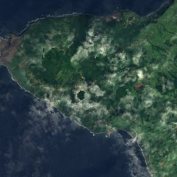
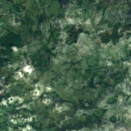
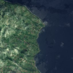
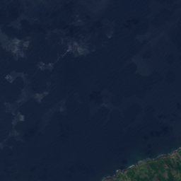
Satellite: Sentinel-2 cloudless 2016 by EOX IT Services GmbH · CC BY 4.0 · Contains modified Copernicus Sentinel data 2016
Cedros
Azores · 5.8 km N
20°Oct high
16wet days
63score

Photo: José Luís Ávila Silveira/Pedro Noronha e Costa · Public domain · Wikimedia CommonsReport this photo · linked, not stored
Salão
Azores · 5.8 km NE
20°Oct high
16wet days
62score

Around here
Praia do Norte and around
Photo: José Luís Ávila Silveira/Pedro Noronha e Costa · Public domain · Wikimedia CommonsReport this photo · linked, not stored
Praia do Norte
Azores · Portugal
Jun–Augbest months
20°July high
255 maltitude
Nature
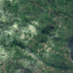
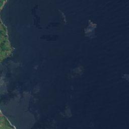
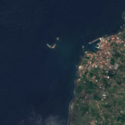


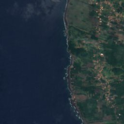
Satellite: Sentinel-2 cloudless 2016 by EOX IT Services GmbH · CC BY 4.0 · Contains modified Copernicus Sentinel data 2016
Gruta das Torres
Cave

Photo: José Luís Ávila Silveira/Pedro Noronha e Costa · Public domain · Wikimedia CommonsReport this photo · linked, not stored
Faial Island
Island


Satellite: Sentinel-2 cloudless 2016 by EOX IT Services GmbH · CC BY 4.0 · Contains modified Copernicus Sentinel data 2016
Ilheu Negro
Island
Mountains

Photo: José Luís Ávila Silveira/Pedro Noronha e Costa · Public domain · Wikimedia CommonsReport this photo · linked, not stored
Mount Pico
2,351 m · Mid-Atlantic Ridge
Satellite: Sentinel-2 cloudless 2016 by EOX IT Services GmbH · CC BY 4.0 · Contains modified Copernicus Sentinel data 2016
Tambroso
497 m · Cabeço Gordo

Heritage

Ponta dos Capelinhos Lighthouse
heritage without legal protection · 1894








Satellite: Sentinel-2 cloudless 2016 by EOX IT Services GmbH · CC BY 4.0 · Contains modified Copernicus Sentinel data 2016
Capelinhos
IUGS Geological Heritage Site


Museums

Photo: Vitor Oliveira from Torres Vedras, PORTUGAL · CC BY-SA 2.0 · Wikimedia CommonsReport this photo · linked, not stored

Centro de Interpretação do Vulcão dos Capelinhos
Interpretation centre

Photo: José Luís Ávila Silveira/Pedro Noronha e Costa · Public domain · Wikimedia CommonsReport this photo · linked, not stored
