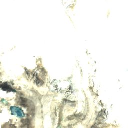
Cho OyuReport this photo · linked, not stored

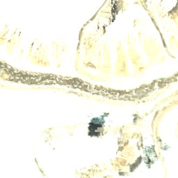
Gyachung KangReport this photo · linked, not stored

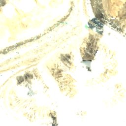
Tenzing PeakReport this photo · linked, not stored

Siguang RiReport this photo · linked, not stored

PumoriReport this photo · linked, not stored
Cho Oyu
- Summit8,188 m
- Mid-mountain6,480 m
- Valley · Gokyo4,770 m
Freezing level in October: 5,150 m
Cho Oyu in brief
Cho Oyu rises to 8,188 m in the Mahalangur Himal, Koshi, Nepal. Its topographic prominence — the height it stands above the lowest contour enclosing a higher summit — is 2,344 m, which makes it an ultra-prominent peak.
At the summit, July is the mildest month with average highs of -6°, while nights stay below freezing all year. Even daytime highs stay below zero in every month.
The summit lies on the border between Nepal and China, so it appears in the mountain lists of both countries.
The nearest town in the atlas is Gokyo, 16 km to the S at 4,770 m.
Weather at three heights
Temperatures are adjusted to each height; summits are usually colder and windier than the valley forecast suggests.
Loading the latest forecast…
Loading the latest forecast…
Loading the latest forecast…
The top of Cho Oyu by month
Summit temperatures and precipitation
Climate normals for the summit area (~1 km grid), station-adjusted| Month | Jan | Feb | Mar | Apr | May | Jun | Jul | Aug | Sep | Oct | Nov | Dec |
|---|---|---|---|---|---|---|---|---|---|---|---|---|
| Average high | -28° | -28° | -24° | -19° | -13° | -6° | -6° | -6° | -9° | -15° | -20° | -24° |
| Average low | -38° | -38° | -35° | -30° | -22° | -14° | -12° | -12° | -16° | -24° | -31° | -34° |
| Precipitation | 27 mm | 38 mm | 40 mm | 47 mm | 79 mm | 240 mm | 486 mm | 477 mm | 249 mm | 46 mm | 10 mm | 16 mm |
| Cloud cover | 14% | 16% | 19% | 23% | 21% | 38% | 72% | 70% | 42% | 11% | 8% | 11% |
| Daylight | 10h 33 | 11h 12 | 11h 58 | 12h 49 | 13h 32 | 13h 55 | 13h 46 | 13h 10 | 12h 21 | 11h 32 | 10h 46 | 10h 22 |
| Month score | 51 | 48 | 47 | 45 | 36 | 22 | 8 | 8 | 20 | 45 | 55 | 54 |
Snow and freezing level
Average height of the 0 °C level from the summit normals (6.5 °C per km); snow months have a summit mean at or below +1 °C| Month | Jan | Feb | Mar | Apr | May | Jun | Jul | Aug | Sep | Oct | Nov | Dec |
|---|---|---|---|---|---|---|---|---|---|---|---|---|
| Freezing level | 3,150 m | 3,150 m | 3,650 m | 4,400 m | 5,500 m | 6,600 m | 6,800 m | 6,750 m | 6,250 m | 5,150 m | 4,250 m | 3,750 m |
| Summit | ❄ snow | ❄ snow | ❄ snow | ❄ snow | ❄ snow | ❄ snow | ❄ snow | ❄ snow | ❄ snow | ❄ snow | ❄ snow | ❄ snow |
Cho Oyu in 3D
Peaks nearby
| Mountain | Elevation | Prominence | Distance | July summit high |
|---|---|---|---|---|
| Gyachung Kang | 7,952 m | 672 m | 8.0 km E | -4° |
| Tenzing Peak | 7,916 m | 171 m | 2.7 km NE | -4° |
| Ngozumpa Kang II | 7,720 m | – | 4.6 km E | -3° |
| Nangpai Gosum | 7,350 m | 426 m | 6.7 km SW | 2° |
| Nangpai Gosum II | 7,321 m | – | 6.7 km SW | 2° |
| Siguang Ri | 7,308 m | 650 m | 6.3 km N | -1° |
| Pumori | 7,161 m | 1,278 m | 19 km SE | 0° |
| Hungchi | 7,029 m | 876 m | 12 km SE | 0° |


Gokyo and around
Nature








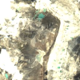

Ngojumba Glacier
Mountains