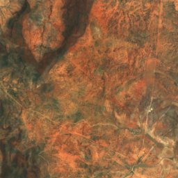
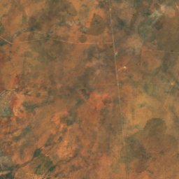
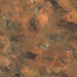
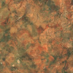
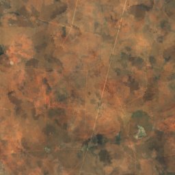
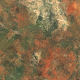
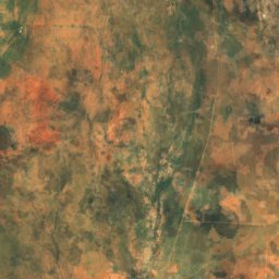
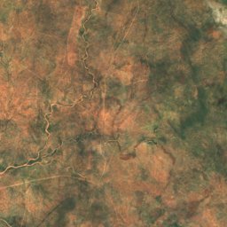
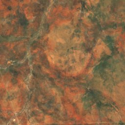
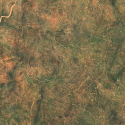
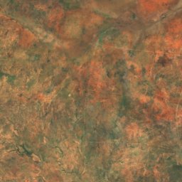
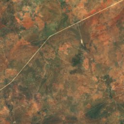
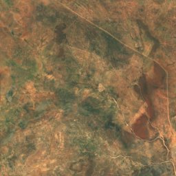
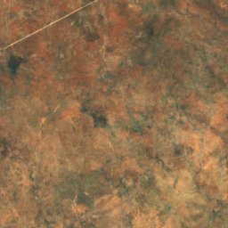
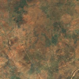
Satellite: Sentinel-2 cloudless 2016 by EOX IT Services GmbH · CC BY 4.0 · Contains modified Copernicus Sentinel data 2016
Otjozondjupa Region · NamibiaSummit weather, forecast and climate
Ombotozo
1,918 m
Elevation1,918 mabove sea level
Prominence–independent height
Isolation51 kmto a higher summit
Summit, Jul20°average high
21.65° S, 16.84° EElevation 1,918 mUTC+2 · Central Africa Time
From the valley to the top
- Summit1,918 m
- Mid-mountain1,320 m
- Valley718 m
Freezing level in October: above the summit
iThe mountain
Ombotozo in brief
Ombotozo rises to 1,918 m, Otjozondjupa Region, Namibia.
At the summit, December is the mildest month with average highs of 30°, while nights rarely fall below freezing.
Facts
- Elevation
- 1,918 m · 6,293 ft
- Region
- Otjozondjupa Region
- Country
- Namibia
- Coordinates
- -21.6482, 16.8399
- Nearest airport
- Eros Airport (ERS) · 109 km
iiForecast
Weather at three heights
Temperatures are adjusted to each height; summits are usually colder and windier than the valley forecast suggests.
Loading the latest forecast…
Loading the latest forecast…
Loading the latest forecast…
iiiSummit climate
The top of Ombotozo by month
Summit temperatures and precipitation
Climate normals for the summit area (~1 km grid), station-adjusted| Month | Jan | Feb | Mar | Apr | May | Jun | Jul | Aug | Sep | Oct | Nov | Dec |
|---|---|---|---|---|---|---|---|---|---|---|---|---|
| Average high | 29° | 28° | 27° | 26° | 23° | 20° | 20° | 23° | 27° | 29° | 30° | 30° |
| Average low | 16° | 16° | 15° | 13° | 9° | 6° | 5° | 7° | 11° | 13° | 14° | 15° |
| Precipitation | 98 mm | 113 mm | 63 mm | 34 mm | 5 mm | 1 mm | 0 mm | 0 mm | 2 mm | 14 mm | 23 mm | 48 mm |
| Cloud cover | 33% | 33% | 24% | 14% | 7% | 4% | 4% | 5% | 8% | 14% | 20% | 23% |
| Daylight | 13h 18 | 12h 49 | 12h 14 | 11h 36 | 11h 05 | 10h 49 | 10h 56 | 11h 22 | 11h 57 | 12h 34 | 13h 08 | 13h 26 |
| Month score | 55 | 55 | 73 | 88 | 99 | 100 | 100 | 100 | 90 | 79 | 74 | 65 |
Snow and freezing level
Average height of the 0 °C level from the summit normals (6.5 °C per km); snow months have a summit mean at or below +1 °C| Month | Jan | Feb | Mar | Apr | May | Jun | Jul | Aug | Sep | Oct | Nov | Dec |
|---|---|---|---|---|---|---|---|---|---|---|---|---|
| Freezing level | 5,350 m | 5,300 m | 5,200 m | 4,850 m | 4,400 m | 3,900 m | 3,850 m | 4,250 m | 4,850 m | 5,200 m | 5,300 m | 5,400 m |
| Summit | above 0 °C | above 0 °C | above 0 °C | above 0 °C | above 0 °C | above 0 °C | above 0 °C | above 0 °C | above 0 °C | above 0 °C | above 0 °C | above 0 °C |
ivTerrain
Ombotozo in 3D
Around here
Okahandja and around
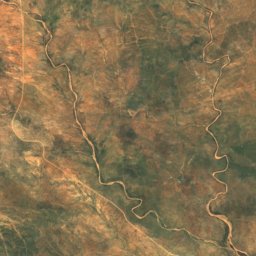
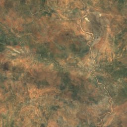
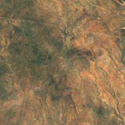
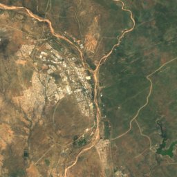
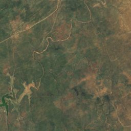
Mountains
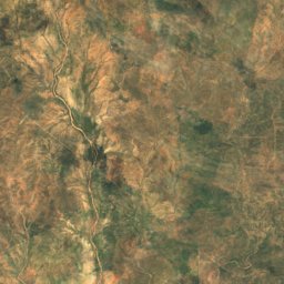
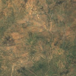
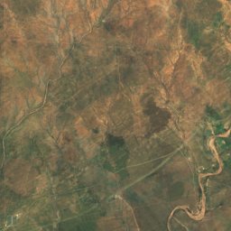
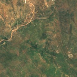
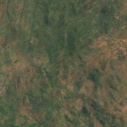
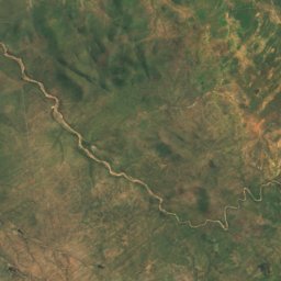
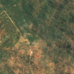
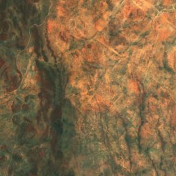
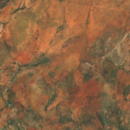
Satellite: Sentinel-2 cloudless 2016 by EOX IT Services GmbH · CC BY 4.0 · Contains modified Copernicus Sentinel data 2016
Osanakuppe
1,459 m
Heritage








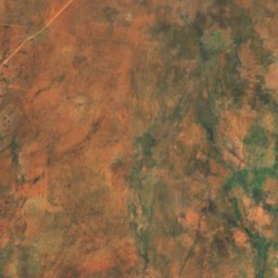
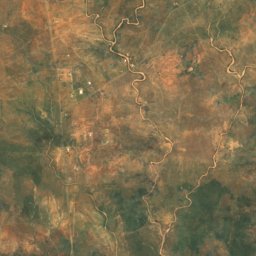
Satellite: Sentinel-2 cloudless 2016 by EOX IT Services GmbH · CC BY 4.0 · Contains modified Copernicus Sentinel data 2016
Rheinish Mission Church
national monument of Namibia

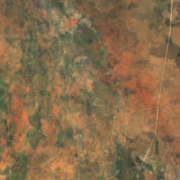
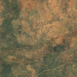
Satellite: Sentinel-2 cloudless 2016 by EOX IT Services GmbH · CC BY 4.0 · Contains modified Copernicus Sentinel data 2016
Herero Grave Complex
national monument of Namibia
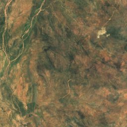
Satellite: Sentinel-2 cloudless 2016 by EOX IT Services GmbH · CC BY 4.0 · Contains modified Copernicus Sentinel data 2016
Grave of Jonker Afrikaner
national monument of Namibia
Museums
Satellite: Sentinel-2 cloudless 2016 by EOX IT Services GmbH · CC BY 4.0 · Contains modified Copernicus Sentinel data 2016
Okahandja Military Museum
2004