
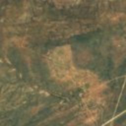
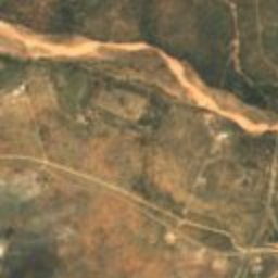
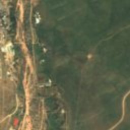
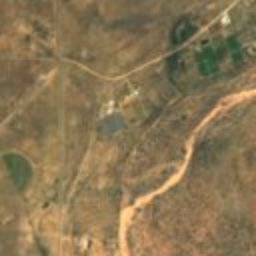
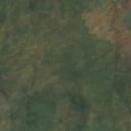
Satellite: Sentinel-2 cloudless 2016 by EOX IT Services GmbH · CC BY 4.0 · Contains modified Copernicus Sentinel data 2016
cemeteryOkahandja, Otjozondjupa Region
Herero Grave Complex
national monument of Namibia
Typecemetery
Built–
Best monthsMay–Julweather in Okahandja
21.98° S, 16.92° EUTC+2 · Central Africa Time
When to goOkahandja · weather score
Best timeMay–Jul
October: high / low32° / 15°
iAbout
Herero Grave Complex in brief
Herero Grave Complex is a cemetery in Okahandja, Otjozondjupa Region, Namibia.
It holds the designation national monument of Namibia.
For a visit, the weather in Okahandja is best in May, June and July; in October afternoons average 32°.
Facts
- Type
- cemetery
- Designation
- national monument of Namibia
- Nearest town
- Okahandja
- Region
- Otjozondjupa Region
- Coordinates
- -21.98040, 16.91986
iiLocation
Where to find it
iiiWhen to visit
Climate guideWeather in Okahandja
Month score for sightseeing
Best May–Jul38
Jan
42
Feb
48
Mar
73
Apr
95
May
100
Jun
100
Jul
95
Aug
79
Sep
67
Oct
58
Nov
43
Dec
ivNearby
All monuments in NamibiaMore heritage close by
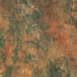
Satellite: Sentinel-2 cloudless 2016 by EOX IT Services GmbH · CC BY 4.0 · Contains modified Copernicus Sentinel data 2016
Rheinish Mission Church
0.8 km SW
national monument of Namibia
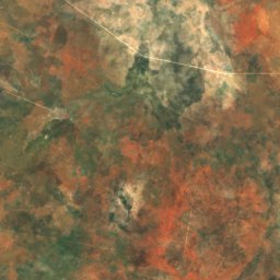
Satellite: Sentinel-2 cloudless 2016 by EOX IT Services GmbH · CC BY 4.0 · Contains modified Copernicus Sentinel data 2016
Ovikokorero War Memorial
0.8 km SW
national monument of Namibia
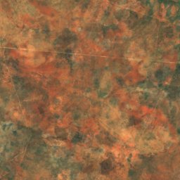
Satellite: Sentinel-2 cloudless 2016 by EOX IT Services GmbH · CC BY 4.0 · Contains modified Copernicus Sentinel data 2016
Okaharui War Memorial
0.8 km SW
national monument of Namibia
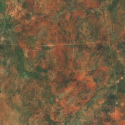
Satellite: Sentinel-2 cloudless 2016 by EOX IT Services GmbH · CC BY 4.0 · Contains modified Copernicus Sentinel data 2016
Grave of Jonker Afrikaner
1.0 km W
national monument of Namibia
Around here
Okahandja and around
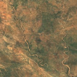
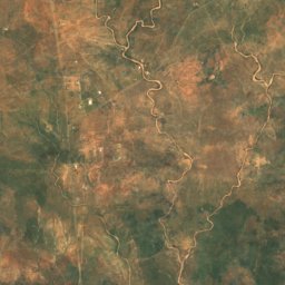
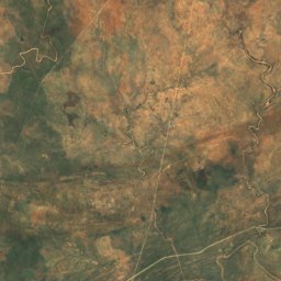
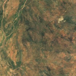
Mountains
Satellite: Sentinel-2 cloudless 2016 by EOX IT Services GmbH · CC BY 4.0 · Contains modified Copernicus Sentinel data 2016
Ombotozo
1,918 m
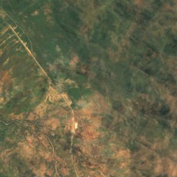
Satellite: Sentinel-2 cloudless 2016 by EOX IT Services GmbH · CC BY 4.0 · Contains modified Copernicus Sentinel data 2016
Osanakuppe
1,459 m
Heritage



Satellite: Sentinel-2 cloudless 2016 by EOX IT Services GmbH · CC BY 4.0 · Contains modified Copernicus Sentinel data 2016
Rheinish Mission Church
national monument of Namibia
Satellite: Sentinel-2 cloudless 2016 by EOX IT Services GmbH · CC BY 4.0 · Contains modified Copernicus Sentinel data 2016
Grave of Jonker Afrikaner
national monument of Namibia
Satellite: Sentinel-2 cloudless 2016 by EOX IT Services GmbH · CC BY 4.0 · Contains modified Copernicus Sentinel data 2016
Ovikokorero War Memorial
national monument of Namibia
Museums
Satellite: Sentinel-2 cloudless 2016 by EOX IT Services GmbH · CC BY 4.0 · Contains modified Copernicus Sentinel data 2016
Okahandja Military Museum
2004