

Photo: Alpsdake · CC BY-SA 4.0 · Wikimedia Commons
Mount OkuhotakaReport this photo · linked, not stored
Mount OkuhotakaMount OkuhotakaReport this photo · linked, not stored
 Hotaka Mountains
 Mount Yari

Photo: Alpsdake · Public domain · Wikimedia Commons
Mount Kita-HotakaReport this photo · linked, not stored
Mount Kita-HotakaMount Kita-HotakaReport this photo · linked, not stored
Hida Mountains · Nagano · JapanSummit weather, forecast and climate
Mount Yake
Stratovolcano · last major eruption 19952,455 mSnow likely Jan–Apr · Nov–Dec
Elevation2,455 mabove sea level
Prominence–independent height
Isolation4.8 kmto a higher summit
Summit, Jul16°average high
36.23° N, 137.59° EElevation 2,455 mUTC+9 · Japan Standard Time
From the valley to the top
- Summit2,455 m
- Mid-mountain1,660 m
- Valley · Asahi863 m
Freezing level in October: above the summit
iThe mountain
Mount Yake in brief
Mount Yake rises to 2,455 m in the Hida Mountains, Nagano, Japan.
At the summit, August is the mildest month with average highs of 17°, while nights fall below freezing in 8 months of the year. Daytime highs climb above zero from April to November.
The nearest town in the atlas is Asahi, 26 km to the SE at 863 m.
iiForecast
Weather at three heights
Temperatures are adjusted to each height; summits are usually colder and windier than the valley forecast suggests.
Loading the latest forecast…
Loading the latest forecast…
Loading the latest forecast…
iiiSummit climate
The top of Mount Yake by month
Summit temperatures and precipitation
Climate normals for the summit area (~1 km grid), station-adjusted| Month | Jan | Feb | Mar | Apr | May | Jun | Jul | Aug | Sep | Oct | Nov | Dec |
|---|---|---|---|---|---|---|---|---|---|---|---|---|
| Average high | -10° | -9° | -4° | 2° | 9° | 13° | 16° | 17° | 13° | 7° | 0° | -7° |
| Average low | -18° | -17° | -13° | -6° | -1° | 5° | 9° | 10° | 6° | -1° | -8° | -15° |
| Precipitation | 150 mm | 151 mm | 196 mm | 184 mm | 228 mm | 298 mm | 400 mm | 260 mm | 349 mm | 212 mm | 166 mm | 133 mm |
| Cloud cover | 60% | 58% | 55% | 51% | 56% | 67% | 61% | 48% | 54% | 47% | 48% | 53% |
| Daylight | 9h 57 | 10h 52 | 11h 55 | 13h 05 | 14h 04 | 14h 37 | 14h 24 | 13h 34 | 12h 27 | 11h 19 | 10h 16 | 9h 43 |
| Month score | 13 | 13 | 15 | 16 | 14 | 24 | 44 | 56 | 33 | 18 | 18 | 15 |
Snow and freezing level
Average height of the 0 °C level from the summit normals (6.5 °C per km); snow months have a summit mean at or below +1 °C| Month | Jan | Feb | Mar | Apr | May | Jun | Jul | Aug | Sep | Oct | Nov | Dec |
|---|---|---|---|---|---|---|---|---|---|---|---|---|
| Freezing level | 300 m | 500 m | 1,150 m | 2,150 m | 3,050 m | 3,800 m | 4,350 m | 4,500 m | 3,950 m | 2,900 m | 1,850 m | 750 m |
| Summit | ❄ snow | ❄ snow | ❄ snow | ❄ snow | above 0 °C | above 0 °C | above 0 °C | above 0 °C | above 0 °C | above 0 °C | ❄ snow | ❄ snow |
ivTerrain
Mount Yake in 3D
vNeighbours
Mountains of JapanPeaks nearby
| Mountain | Elevation | Prominence | Distance | July summit high |
|---|---|---|---|---|
| Mount Okuhotaka | 3,190 m | – | 8.6 km NE | 12° |
| Hotaka Mountains | 3,190 m | 2,307 m | 8.6 km NE | 12° |
| Mount Yari | 3,180 m | – | 14 km NE | 13° |
| Mount Kita-Hotaka | 3,106 m | – | 10 km NE | 12° |
| Mount Ōbami | 3,101 m | – | 13 km NE | 12° |
| Mount Mae-Hotaka | 3,090 m | – | 8.8 km NE | 13° |
| Mount Naka | 3,084 m | – | 12 km NE | 12° |
| Mount Minami, Nagano | 3,033 m | – | 11 km NE | 13° |
viBase towns
Where to stay nearby

Photo: photo: Qurren (talk) Taken with Canon IXY 10S · CC BY-SA 3.0 · Wikimedia CommonsReport this photo · linked, not stored
Asahi
Nagano · 26 km SE
17°Oct high
15wet days
56score

Photo: photo: Qurren (talk) Taken with Canon IXY 10S · CC BY-SA 3.0 · Wikimedia CommonsReport this photo · linked, not stored
Yamagata
Nagano · 26 km E
18°Oct high
15wet days
63score

Photo: photo: Qurren (talk) Taken with Canon IXY 430F (Digital IXUS 245 HS) · CC BY-SA 3.0 · Wikimedia CommonsReport this photo · linked, not stored
Azumino
Nagano · 28 km E
19°Oct high
15wet days
64score

Photo: photo: Qurren (talk) Taken with Canon IXY 10S · CC BY-SA 3.0 · Wikimedia CommonsReport this photo · linked, not stored
Hotaka
Nagano · 29 km NE
19°Oct high
15wet days
64score
Around here
Asahi and around
Photo: photo: Qurren (talk) Taken with Canon IXY 10S · CC BY-SA 3.0 · Wikimedia CommonsReport this photo · linked, not stored
Asahi
Nagano · Japan
May · Jul · Sepbest months
26°July high
863 maltitude
Nature

Photo: photo: Qurren (talk) Taken with Canon IXY Digital 70 (Digital IXUS 60) · CC BY-SA 3.0 · Wikimedia CommonsReport this photo · linked, not stored
Shimashimadani River
River
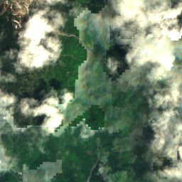
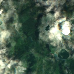
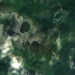
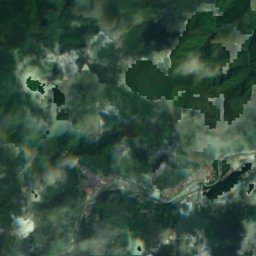
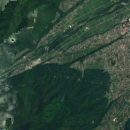
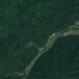
Satellite: Sentinel-2 cloudless 2016 by EOX IT Services GmbH · CC BY 4.0 · Contains modified Copernicus Sentinel data 2016
Inekoki Wind Cave
Cave

Mountains
Heritage


Photo: photo: Qurren (talk) Taken with Canon IXY 10S · CC BY-SA 3.0 · Wikimedia CommonsReport this photo · linked, not stored
Hiraide ruins
Historic Site of Japan
Museums




Satellite: Sentinel-2 cloudless 2016 by EOX IT Services GmbH · CC BY 4.0 · Contains modified Copernicus Sentinel data 2016
朝日美術館
Art museum


