
 Mount Sobo

Photo: masamic · CC BY-SA 3.0 · Wikimedia Commons
Mount Neko, KumamotoReport this photo · linked, not stored
Mount Neko, KumamotoMount Neko, KumamotoReport this photo · linked, not stored

Photo: Miya.m · CC BY-SA 3.0 · Wikimedia Commons
Mount DaikanbōReport this photo · linked, not stored
Mount DaikanbōMount DaikanbōReport this photo · linked, not stored

Photo: The original uploader was Vickerman625 at English Wikipedia. · Public domain · Wikimedia Commons
KomezukaReport this photo · linked, not stored
KomezukaKomezukaReport this photo · linked, not stored
Kumamoto · JapanSummit weather, forecast and climate
Mount Naka, Aso
Caldera · last major eruption 20161,506 mSnow likely Jan–Feb · Dec
Elevation1,506 mabove sea level
Prominence–independent height
Isolation24 kmto a higher summit
Summit, Jul23°average high
32.88° N, 131.10° EElevation 1,506 mUTC+9 · Japan Standard Time
From the valley to the top
- Summit1,506 m
- Mid-mountain1,010 m
- Valley · Aso520 m
Freezing level in October: above the summit
iThe mountain
Mount Naka, Aso in brief
Mount Naka, Aso rises to 1,506 m, Kumamoto, Japan.
At the summit, August is the mildest month with average highs of 23°, while nights fall below freezing in 4 months of the year.
The nearest town in the atlas is Aso, 6.2 km to the N at 520 m.
iiForecast
Weather at three heights
Temperatures are adjusted to each height; summits are usually colder and windier than the valley forecast suggests.
Loading the latest forecast…
Loading the latest forecast…
Loading the latest forecast…
iiiSummit climate
The top of Mount Naka, Aso by month
Summit temperatures and precipitation
Climate normals for the summit area (~1 km grid), station-adjusted| Month | Jan | Feb | Mar | Apr | May | Jun | Jul | Aug | Sep | Oct | Nov | Dec |
|---|---|---|---|---|---|---|---|---|---|---|---|---|
| Average high | 1° | 3° | 7° | 12° | 17° | 20° | 23° | 23° | 21° | 15° | 10° | 4° |
| Average low | -7° | -6° | -2° | 3° | 7° | 12° | 16° | 16° | 13° | 6° | 0° | -5° |
| Precipitation | 108 mm | 153 mm | 263 mm | 285 mm | 348 mm | 727 mm | 741 mm | 362 mm | 340 mm | 166 mm | 137 mm | 87 mm |
| Cloud cover | 48% | 49% | 53% | 54% | 58% | 70% | 59% | 47% | 48% | 37% | 40% | 40% |
| Daylight | 10h 12 | 11h 00 | 11h 56 | 12h 58 | 13h 50 | 14h 18 | 14h 08 | 13h 24 | 12h 25 | 11h 25 | 10h 30 | 10h 00 |
| Month score | 21 | 17 | 15 | 27 | 48 | 50 | 55 | 60 | 60 | 50 | 21 | 30 |
Snow and freezing level
Average height of the 0 °C level from the summit normals (6.5 °C per km); snow months have a summit mean at or below +1 °C| Month | Jan | Feb | Mar | Apr | May | Jun | Jul | Aug | Sep | Oct | Nov | Dec |
|---|---|---|---|---|---|---|---|---|---|---|---|---|
| Freezing level | 1,050 m | 1,250 m | 1,850 m | 2,650 m | 3,350 m | 3,950 m | 4,450 m | 4,550 m | 4,050 m | 3,150 m | 2,250 m | 1,400 m |
| Summit | ❄ snow | ❄ snow | above 0 °C | above 0 °C | above 0 °C | above 0 °C | above 0 °C | above 0 °C | above 0 °C | above 0 °C | above 0 °C | ❄ snow |
ivTerrain
Mount Naka, Aso in 3D
vNeighbours
Mountains of JapanPeaks nearby
| Mountain | Elevation | Prominence | Distance | July summit high |
|---|---|---|---|---|
| Mount Sobo | 1,756 m | – | 24 km E | 22° |
| Mounnt Oyaji | 1,644 m | – | 24 km E | 22° |
| Mount Neko, Kumamoto | 1,433 m | – | 4.4 km E | 24° |
| Mount Daikanbō | 936 m | – | 13 km N | 26° |
| Komezuka | 870 m | – | 5.6 km NW | 25° |
| Zōga Hana | 639 m | – | 10 km N | 27° |


Around here
Aso and around
Nature
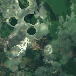
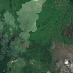
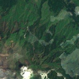
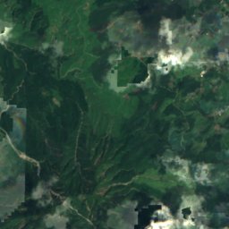
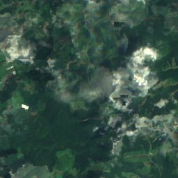
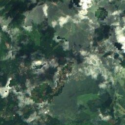
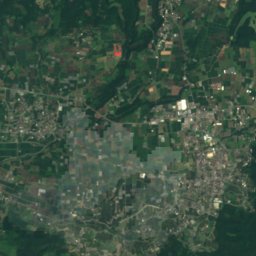
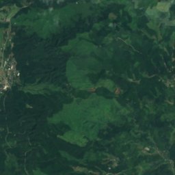
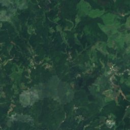
Satellite: Sentinel-2 cloudless 2016 by EOX IT Services GmbH · CC BY 4.0 · Contains modified Copernicus Sentinel data 2016
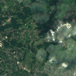
Shirakawa River, Kumamoto
River

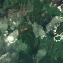
Mountains
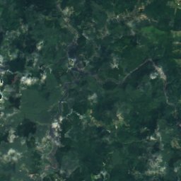
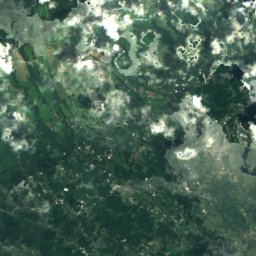
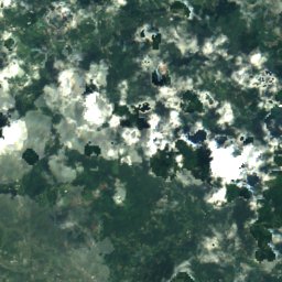
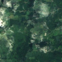
Satellite: Sentinel-2 cloudless 2016 by EOX IT Services GmbH · CC BY 4.0 · Contains modified Copernicus Sentinel data 2016
Kuju Mountains
1,791 m


Heritage


Museums

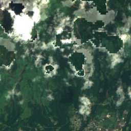
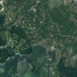
Satellite: Sentinel-2 cloudless 2016 by EOX IT Services GmbH · CC BY 4.0 · Contains modified Copernicus Sentinel data 2016
阿蘇古代の郷美術館
Art museum






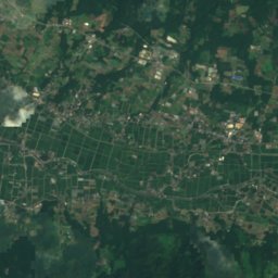
Satellite: Sentinel-2 cloudless 2016 by EOX IT Services GmbH · CC BY 4.0 · Contains modified Copernicus Sentinel data 2016
Yoh Shomei Art Museum
Art museum