



Skip to content
Destinations
Weather & climate
Nature
Outdoors
Culture
Events
Sky & live
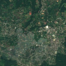
Satellite: Sentinel-2 cloudless 2016 by EOX IT Services GmbH · CC BY 4.0 · Contains modified Copernicus Sentinel data 2016
Aso Volcano Museum
Photo: STA3816 · Public domain · Wikimedia Commons
Aso Volcano MuseumReport this photo · linked, not stored
Aso Volcano Museum
Art museumAso, Kumamoto

阿蘇古代の郷美術館

Art museum
KindArt museumAso
Visitors a year–
Founded–
Best monthsApr–May · OctAso
32.93° N, 131.11° EUTC+9 · Japan Standard Time
When to goAso · weather score
JanFebMarAprMayJunJulAugSepOctNovDec75October
Best timeApr–May · Oct
October: high / low20° / 11°
About

阿蘇古代の郷美術館 in brief

阿蘇古代の郷美術館 is an art museum in Aso, Kumamoto, Japan.

For the trip, the weather in Aso is best in April, May and October; in October afternoons average 20°.

Aso: weather and travel guide

Facts

Kind
Art museum
Town
Aso
Region
Kumamoto
Coordinates
32.92794° N, 131.10693° E
Location

Where to find it

When to visit

Weather in Aso

Climate guide

Month score for sightseeing

Best Apr–May · Oct
Nearby

More to see close by

All museums in Japan
Aso Volcano Museum
Photo: STA3816 · Public domain · Wikimedia CommonsReport this photo · linked, not stored

Aso Volcano Museum

7.0 km SW
Museum
Aso Volcano Museum
Aso Shrine
Photo: STA3816 · CC BY-SA 3.0 · Wikimedia CommonsReport this photo · linked, not stored

Aso Shrine

2.4 km N
Important Cultural Property of Japan
Aso Shrine
Around here

Aso and around

Aso
Photo: Sanjo · CC BY-SA 3.0 · Wikimedia CommonsReport this photo · linked, not stored

Aso

Kumamoto · Japan
Apr–May · Octbest months
27°July high
520 maltitude
Aso

Nature

Aso Kujū National Park
Photo: Miya.m · CC BY-SA 3.0 · Wikimedia CommonsReport this photo · linked, not stored
6.2 km S

Aso Kujū National Park

National park
Aso Kujū National Park
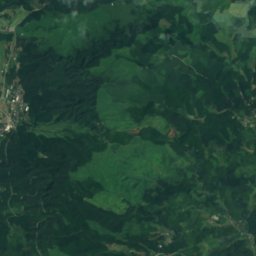
Satellite: Sentinel-2 cloudless 2016 by EOX IT Services GmbH · CC BY 4.0 · Contains modified Copernicus Sentinel data 2016
12 km SE

Shirakawa River, Kumamoto

River
Shirakawa River, Kumamoto
Sgaru Falls
Photo: ja:User:Sanjo · CC BY-SA 3.0 · Wikimedia CommonsReport this photo · linked, not stored
10 km SW

Sgaru Falls

Waterfall
Sgaru Falls

Mountains

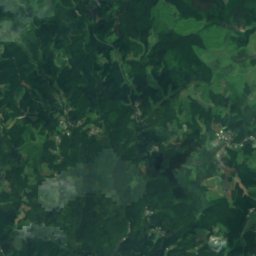
Satellite: Sentinel-2 cloudless 2016 by EOX IT Services GmbH · CC BY 4.0 · Contains modified Copernicus Sentinel data 2016
22 km NE

Kuju Mountains

1,791 m
Kuju Mountains
Mount Naka, Ubuyama
Photo: Psjk2106 · CC BY-SA 3.0 · Wikimedia CommonsReport this photo · linked, not stored
23 km NE

Mount Naka, Ubuyama

1,791 m · Kuju Mountains
Mount Naka, Ubuyama
Mount Kuju
Photo: muneaki · CC BY-SA 3.0 · Wikimedia CommonsReport this photo · linked, not stored
22 km NE

Mount Kuju

1,787 m
Mount Kuju

Heritage

Aso Shrine
Photo: STA3816 · CC BY-SA 3.0 · Wikimedia CommonsReport this photo · linked, not stored
3.5 km E

Aso Shrine

Important Cultural Property of Japan
Aso Shrine
Kusa-Senrigahama
Photo: Project Kei · CC BY-SA 4.0 · Wikimedia CommonsReport this photo · linked, not stored
6.6 km S

Kusa-Senrigahama

natural monument
Kusa-Senrigahama

Museums

Aso Volcano Museum
Photo: STA3816 · Public domain · Wikimedia CommonsReport this photo · linked, not stored
6.3 km SW

Aso Volcano Museum

Aso Volcano Museum
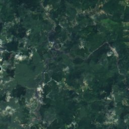
Satellite: Sentinel-2 cloudless 2016 by EOX IT Services GmbH · CC BY 4.0 · Contains modified Copernicus Sentinel data 2016
7.3 km SW

Yoh Shomei Art Museum

Art museum
Yoh Shomei Art Museum
Satellite: Sentinel-2 cloudless 2016 by EOX IT Services GmbH · CC BY 4.0 · Contains modified Copernicus Sentinel data 2016
9.4 km SW

熊本地震震災ミュージアムKIOKU

熊本地震震災ミュージアムKIOKU