
Hokkaido · JapanSummit weather, forecast and climate
Mount E
Stratovolcano · last major eruption 1846618 mSnow likely Jan–Mar · Dec
Elevation618 mabove sea level
Prominence–independent height
Isolation8.1 kmto a higher summit
Summit, Jul17°average high
41.80° N, 141.17° EElevation 618 mUTC+9 · Japan Standard Time
From the valley to the top
- Summit618 m
- Mid-mountain310 m
- Valley0 m
Freezing level in October: above the summit
iThe mountain
Mount E in brief
Mount E rises to 618 m, Hokkaido, Japan.
At the summit, August is the mildest month with average highs of 20°, while nights fall below freezing in 4 months of the year. Daytime highs climb above zero from April to November.
iiForecast
Weather at three heights
Temperatures are adjusted to each height; summits are usually colder and windier than the valley forecast suggests.
Loading the latest forecast…
Loading the latest forecast…
Loading the latest forecast…
iiiSummit climate
The top of Mount E by month
Summit temperatures and precipitation
Climate normals for the summit area (~1 km grid), station-adjusted| Month | Jan | Feb | Mar | Apr | May | Jun | Jul | Aug | Sep | Oct | Nov | Dec |
|---|---|---|---|---|---|---|---|---|---|---|---|---|
| Average high | -3° | -3° | -1° | 2° | 7° | 13° | 17° | 20° | 18° | 12° | 4° | -1° |
| Average low | -6° | -6° | -3° | 0° | 5° | 11° | 15° | 18° | 16° | 9° | 1° | -4° |
| Precipitation | 132 mm | 101 mm | 105 mm | 128 mm | 162 mm | 148 mm | 246 mm | 285 mm | 272 mm | 165 mm | 174 mm | 141 mm |
| Cloud cover | 38% | 38% | 36% | 40% | 48% | 54% | 58% | 52% | 45% | 34% | 33% | 38% |
| Daylight | 9h 28 | 10h 35 | 11h 52 | 13h 19 | 14h 31 | 15h 12 | 14h 56 | 13h 54 | 12h 32 | 11h 09 | 9h 52 | 9h 10 |
| Month score | 22 | 27 | 27 | 21 | 18 | 30 | 50 | 58 | 61 | 31 | 24 | 22 |
Snow and freezing level
Average height of the 0 °C level from the summit normals (6.5 °C per km); snow months have a summit mean at or below +1 °C| Month | Jan | Feb | Mar | Apr | May | Jun | Jul | Aug | Sep | Oct | Nov | Dec |
|---|---|---|---|---|---|---|---|---|---|---|---|---|
| Freezing level | valley | valley | 300 m | 800 m | 1,550 m | 2,450 m | 3,100 m | 3,550 m | 3,250 m | 2,200 m | 1,000 m | 250 m |
| Summit | ❄ snow | ❄ snow | ❄ snow | above 0 °C | above 0 °C | above 0 °C | above 0 °C | above 0 °C | above 0 °C | above 0 °C | above 0 °C | ❄ snow |
ivTerrain
Mount E in 3D
vNeighbours
Mountains of JapanPeaks nearby
| Mountain | Elevation | Prominence | Distance | July summit high |
|---|---|---|---|---|
| Mount Maru (Esan) | 691 m | – | 8.1 km NW | 17° |
Around here
Hakodate and around

Nature

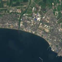
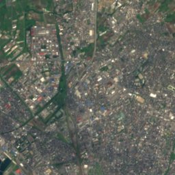
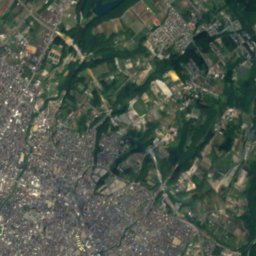
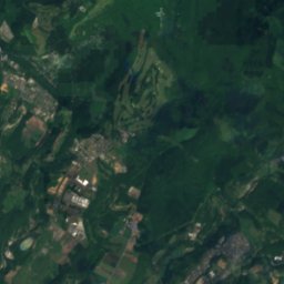
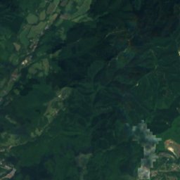
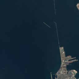
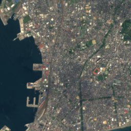
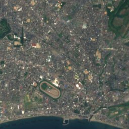
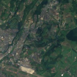
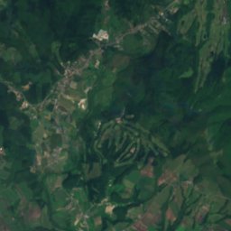
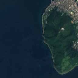
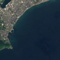

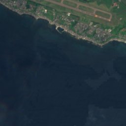
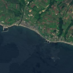
Satellite: Sentinel-2 cloudless 2016 by EOX IT Services GmbH · CC BY 4.0 · Contains modified Copernicus Sentinel data 2016
Matsukura River
River
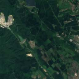
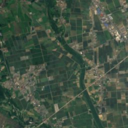
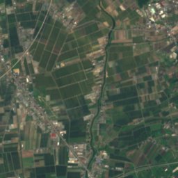
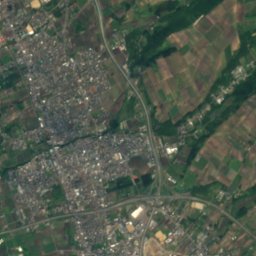
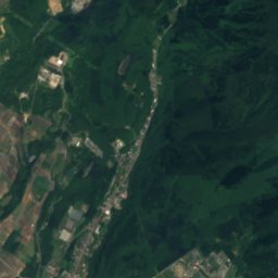
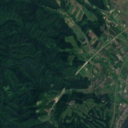
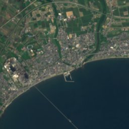
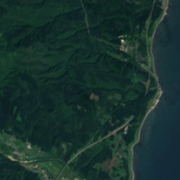

Satellite: Sentinel-2 cloudless 2016 by EOX IT Services GmbH · CC BY 4.0 · Contains modified Copernicus Sentinel data 2016
Tokiwa River
River
Mountains


Heritage

Hakodate Orthodox Church
Important Cultural Property of Japan · 1860

Photo: 京浜にけ at Japanese Wikipedia · CC BY-SA 3.0 · Wikimedia CommonsReport this photo · linked, not stored
Goryōkaku
Hokkaido Heritage · 1866

Shinshū Ōtani-ha Hakodate Betsu-in Temple
Important Cultural Property of Japan · 1641


