
Photo: Photo by CEphoto, Uwe Aranas or alternatively © CEphoto, Uwe Aranas · CC BY-SA 3.0 · Wikimedia Commons
Mountain SumbingReport this photo · linked, not stored
Mountain SumbingReport this photo · linked, not stored

Photo: Apri DAV · CC BY-SA 4.0 · Wikimedia Commons
Mount SindoroReport this photo · linked, not stored
Mount SindoroMount SindoroReport this photo · linked, not stored

Photo: Hendrojkson · CC BY-SA 4.0 · Wikimedia Commons
Mount AndongReport this photo · linked, not stored
Mount AndongMount AndongReport this photo · linked, not stored
Central Java · IndonesiaSummit weather, forecast and climate
Mountain Sumbing
Volcano3,371 mUltra-prominent peak
Elevation3,371 mabove sea level
Prominence2,577 mindependent height
Isolation95 kmto a higher summit
Summit, Jul11°average high
7.38° S, 110.07° EElevation 3,371 mUTC+7 · Western Indonesia Time
From the valley to the top
- Summit3,371 m
- Mid-mountain1,880 m
- Valley · Magelang379 m
Freezing level in October: above the summit
iThe mountain
Mountain Sumbing in brief
Mountain Sumbing rises to 3,371 m, Central Java, Indonesia. Its topographic prominence — the height it stands above the lowest contour enclosing a higher summit — is 2,577 m, which makes it an ultra-prominent peak.
At the summit, October is the mildest month with average highs of 13°, while nights rarely fall below freezing.
The nearest town in the atlas is Magelang, 19 km to the SE at 379 m.
Facts
- Elevation
- 3,371 m · 11,060 ft
- Prominence
- 2,577 m
- Region
- Central Java
- Country
- Indonesia
- Coordinates
- -7.3850, 110.0725
- Nearest airport
- Jenderal Ahmad Yani Airport (SRG) · 57 km
iiForecast
Weather at three heights
Temperatures are adjusted to each height; summits are usually colder and windier than the valley forecast suggests.
Loading the latest forecast…
Loading the latest forecast…
Loading the latest forecast…
iiiSummit climate
The top of Mountain Sumbing by month
Summit temperatures and precipitation
Climate normals for the summit area (~1 km grid), station-adjusted| Month | Jan | Feb | Mar | Apr | May | Jun | Jul | Aug | Sep | Oct | Nov | Dec |
|---|---|---|---|---|---|---|---|---|---|---|---|---|
| Average high | 11° | 12° | 12° | 12° | 12° | 12° | 11° | 12° | 12° | 13° | 12° | 11° |
| Average low | 5° | 5° | 5° | 5° | 5° | 4° | 3° | 3° | 4° | 5° | 6° | 5° |
| Precipitation | 523 mm | 514 mm | 446 mm | 391 mm | 270 mm | 202 mm | 122 mm | 109 mm | 178 mm | 315 mm | 421 mm | 467 mm |
| Cloud cover | 84% | 86% | 79% | 69% | 49% | 39% | 35% | 34% | 42% | 56% | 73% | 82% |
| Daylight | 12h 30 | 12h 20 | 12h 09 | 11h 57 | 11h 47 | 11h 42 | 11h 44 | 11h 52 | 12h 03 | 12h 16 | 12h 27 | 12h 33 |
| Month score | 10 | 10 | 14 | 19 | 27 | 29 | 30 | 35 | 33 | 27 | 18 | 11 |
Snow and freezing level
Average height of the 0 °C level from the summit normals (6.5 °C per km); snow months have a summit mean at or below +1 °C| Month | Jan | Feb | Mar | Apr | May | Jun | Jul | Aug | Sep | Oct | Nov | Dec |
|---|---|---|---|---|---|---|---|---|---|---|---|---|
| Freezing level | 4,650 m | 4,650 m | 4,650 m | 4,700 m | 4,650 m | 4,550 m | 4,500 m | 4,500 m | 4,650 m | 4,750 m | 4,700 m | 4,650 m |
| Summit | above 0 °C | above 0 °C | above 0 °C | above 0 °C | above 0 °C | above 0 °C | above 0 °C | above 0 °C | above 0 °C | above 0 °C | above 0 °C | above 0 °C |
ivTerrain
Mountain Sumbing in 3D
vNeighbours
Mountains of IndonesiaPeaks nearby
| Mountain | Elevation | Prominence | Distance | July summit high |
|---|---|---|---|---|
| Mount Sindoro | 3,136 m | 1,747 m | 13 km NW | 12° |
| Mountain Batur | 1,717 m | – | 18 km NE | 27° |
| Mount Andong | 1,463 m | – | 20 km SE | 28° |
viBase towns
Where to stay nearby

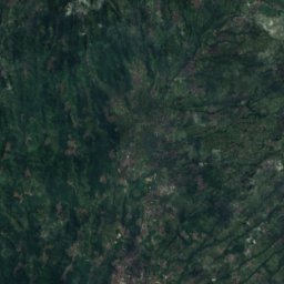
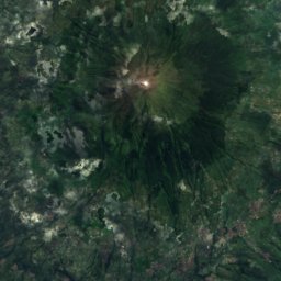
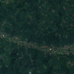
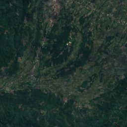
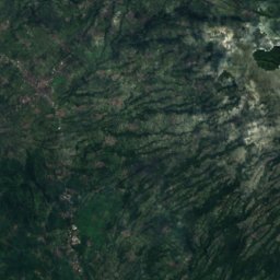
Satellite: Sentinel-2 cloudless 2016 by EOX IT Services GmbH · CC BY 4.0 · Contains modified Copernicus Sentinel data 2016
Wonosobo
Central Java · 19 km W
26°Oct high
20wet days
50score

Photo: Gunawan Kartapranata · Public domain · Wikimedia CommonsReport this photo · linked, not stored
Mertoyudan
Central Java · 23 km SE
28°Oct high
19wet days
41score
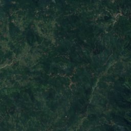
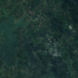
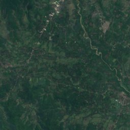
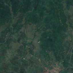
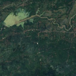
Satellite: Sentinel-2 cloudless 2016 by EOX IT Services GmbH · CC BY 4.0 · Contains modified Copernicus Sentinel data 2016
Kebongunung
Central Java · 30 km S
29°Oct high
19wet days
43score
Around here
Magelang and around
Nature
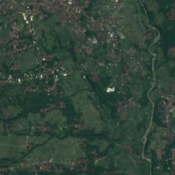
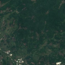
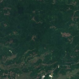
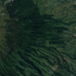
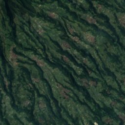
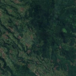
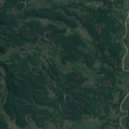
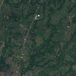
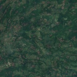
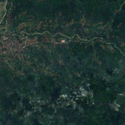
Satellite: Sentinel-2 cloudless 2016 by EOX IT Services GmbH · CC BY 4.0 · Contains modified Copernicus Sentinel data 2016
Telaga Bening
Lake · 372 m

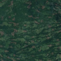
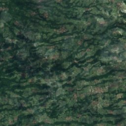
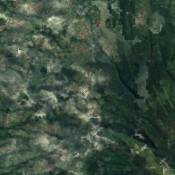
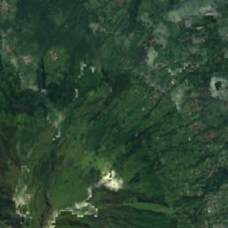
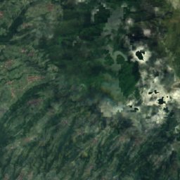
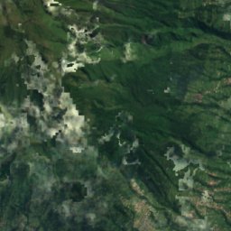
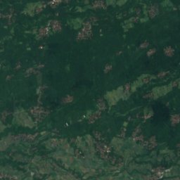
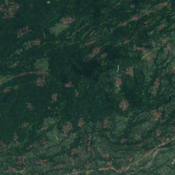
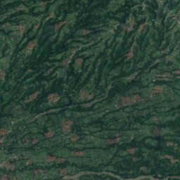
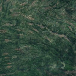
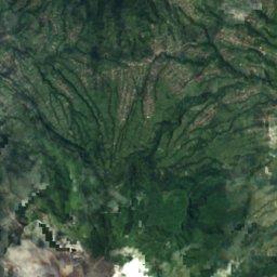
Satellite: Sentinel-2 cloudless 2016 by EOX IT Services GmbH · CC BY 4.0 · Contains modified Copernicus Sentinel data 2016
Mount Merbabu National Park
National park
Mountains


Heritage

Museums





Satellite: Sentinel-2 cloudless 2016 by EOX IT Services GmbH · CC BY 4.0 · Contains modified Copernicus Sentinel data 2016
Bumiputera 1912 Museum
1985
Satellite: Sentinel-2 cloudless 2016 by EOX IT Services GmbH · CC BY 4.0 · Contains modified Copernicus Sentinel data 2016
Museum BPK RI
1997