

Photo: Ziegler175 · CC BY-SA 4.0 · Wikimedia Commons
Kawi-ButakReport this photo · linked, not stored
Kawi-ButakKawi-ButakReport this photo · linked, not stored
East Java · IndonesiaSummit weather, forecast and climate
Kelut
Stratovolcano · last major eruption 20141,731 m
Elevation1,731 mabove sea level
Prominence–independent height
Isolation16 kmto a higher summit
Summit, Jul22°average high
7.93° S, 112.31° EElevation 1,731 mUTC+7 · Western Indonesia Time
From the valley to the top
- Summit1,731 m
- Mid-mountain960 m
- Valley · Blitar180 m
Freezing level in October: above the summit
iThe mountain
Kelut in brief
Kelut rises to 1,731 m, East Java, Indonesia.
At the summit, September is the mildest month with average highs of 23°, while nights rarely fall below freezing.
The nearest town in the atlas is Blitar, 24 km to the SW at 180 m.
iiForecast
Weather at three heights
Temperatures are adjusted to each height; summits are usually colder and windier than the valley forecast suggests.
Loading the latest forecast…
Loading the latest forecast…
Loading the latest forecast…
iiiSummit climate
The top of Kelut by month
Summit temperatures and precipitation
Climate normals for the summit area (~1 km grid), station-adjusted| Month | Jan | Feb | Mar | Apr | May | Jun | Jul | Aug | Sep | Oct | Nov | Dec |
|---|---|---|---|---|---|---|---|---|---|---|---|---|
| Average high | 22° | 22° | 22° | 22° | 22° | 22° | 22° | 23° | 23° | 23° | 23° | 22° |
| Average low | 15° | 15° | 15° | 15° | 14° | 13° | 12° | 12° | 13° | 15° | 15° | 15° |
| Precipitation | 568 mm | 502 mm | 585 mm | 464 mm | 349 mm | 185 mm | 122 mm | 75 mm | 133 mm | 317 mm | 517 mm | 586 mm |
| Cloud cover | 83% | 85% | 75% | 64% | 43% | 37% | 35% | 34% | 40% | 50% | 66% | 80% |
| Daylight | 12h 32 | 12h 21 | 12h 09 | 11h 56 | 11h 45 | 11h 40 | 11h 42 | 11h 51 | 12h 03 | 12h 16 | 12h 28 | 12h 35 |
| Month score | 45 | 44 | 48 | 53 | 62 | 64 | 65 | 78 | 63 | 59 | 52 | 46 |
Snow and freezing level
Average height of the 0 °C level from the summit normals (6.5 °C per km); snow months have a summit mean at or below +1 °C| Month | Jan | Feb | Mar | Apr | May | Jun | Jul | Aug | Sep | Oct | Nov | Dec |
|---|---|---|---|---|---|---|---|---|---|---|---|---|
| Freezing level | 4,550 m | 4,550 m | 4,600 m | 4,550 m | 4,500 m | 4,450 m | 4,350 m | 4,400 m | 4,550 m | 4,650 m | 4,650 m | 4,600 m |
| Summit | above 0 °C | above 0 °C | above 0 °C | above 0 °C | above 0 °C | above 0 °C | above 0 °C | above 0 °C | above 0 °C | above 0 °C | above 0 °C | above 0 °C |
ivTerrain
Kelut in 3D
vNeighbours
Mountains of IndonesiaPeaks nearby
| Mountain | Elevation | Prominence | Distance | July summit high |
|---|---|---|---|---|
| Kawi-Butak | 2,868 m | – | 16 km E | 16° |
| Mount Butak | 2,868 m | – | 16 km E | 16° |
| Mount Kawi | 2,551 m | – | 16 km E | 16° |


Around here
Blitar and around
Nature

Satellite: Sentinel-2 cloudless 2016 by EOX IT Services GmbH · CC BY 4.0 · Contains modified Copernicus Sentinel data 2016
Guwo Jedog
Cave · 147 m
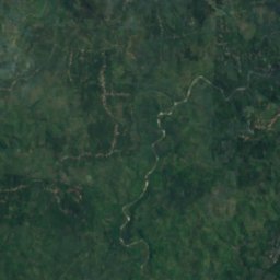



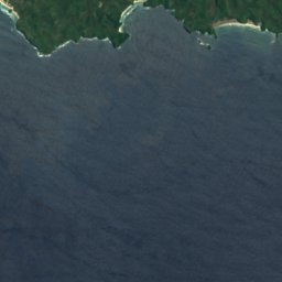
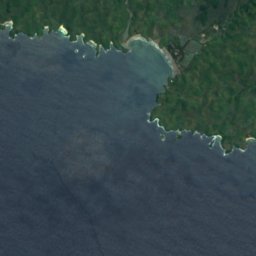
Satellite: Sentinel-2 cloudless 2016 by EOX IT Services GmbH · CC BY 4.0 · Contains modified Copernicus Sentinel data 2016
Rawa Tikus
Lake · 41 m
Mountains
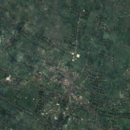
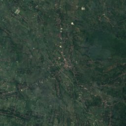
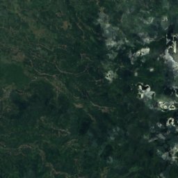
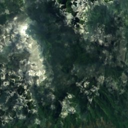
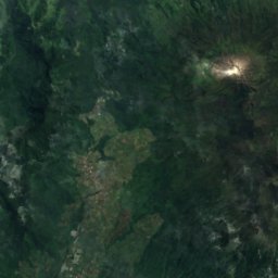
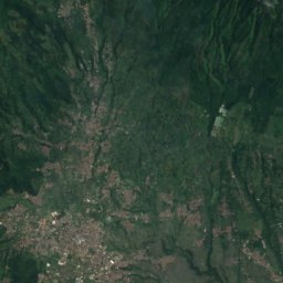
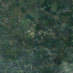
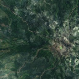
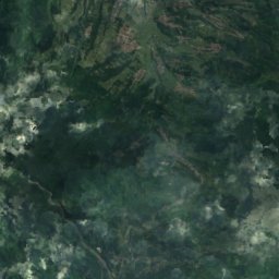
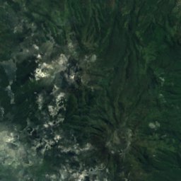
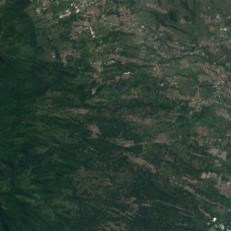
Satellite: Sentinel-2 cloudless 2016 by EOX IT Services GmbH · CC BY 4.0 · Contains modified Copernicus Sentinel data 2016
Mount Butak
2,868 m
Satellite: Sentinel-2 cloudless 2016 by EOX IT Services GmbH · CC BY 4.0 · Contains modified Copernicus Sentinel data 2016
Mount Kawi
2,551 m
Museums





Satellite: Sentinel-2 cloudless 2016 by EOX IT Services GmbH · CC BY 4.0 · Contains modified Copernicus Sentinel data 2016
Istana Gebang Museum






Satellite: Sentinel-2 cloudless 2016 by EOX IT Services GmbH · CC BY 4.0 · Contains modified Copernicus Sentinel data 2016
Library and Museum of Bung Karno
2004















Satellite: Sentinel-2 cloudless 2016 by EOX IT Services GmbH · CC BY 4.0 · Contains modified Copernicus Sentinel data 2016
Penataran Museum
1997