Skip to content
Destinations
Weather & climate
Nature
Outdoors
Culture
Events
Sky & live
Lackenberg
Photo: Sasik2 · CC BY-SA 3.0 · Wikimedia Commons
LackenbergReport this photo · linked, not stored
Großer Rachel
Photo: High Contrast · CC BY 3.0 de · Wikimedia Commons
Großer RachelReport this photo · linked, not stored
Großer Rachel
Gipfelklippen des Großen Rachel
Photo: Rosa-Maria Rinkl · CC BY-SA 3.0 · Wikimedia Commons
Gipfelklippen des Großen RachelReport this photo · linked, not stored
Gipfelklippen des Großen Rachel
Gipfel des Großen Arber mit Richard-Wagner-Kopf
Photo: Rosa-Maria Rinkl · CC BY-SA 4.0 · Wikimedia Commons
Gipfel des Großen Arber mit Richard-Wagner-KopfReport this photo · linked, not stored
Gipfel des Großen Arber mit Richard-Wagner-Kopf
Plattenhausenriegel
Photo: Sasik2 · CC BY-SA 3.0 · Wikimedia Commons
PlattenhausenriegelReport this photo · linked, not stored
Plattenhausenriegel
Bavarian Forest · Bavaria · GermanySummit weather, forecast and climate

Lackenberg

1,338 mGermany / Czechia borderSnow likely Jan–Mar · Nov–Dec
Elevation1,338 mabove sea level
Prominence263 mindependent height
Isolation12 kmto a higher summit
Summit, Jul17°average high
49.10° N, 13.31° EElevation 1,338 mUTC+1 · Central European Standard Time
From the valley to the top
  • Summit1,338 m
  • Mid-mountain1,110 m
  • Valley · Prášily880 m

Freezing level in October: above the summit

iThe mountain

Lackenberg in brief

Lackenberg rises to 1,338 m in the Bavarian Forest, Bavaria, Germany. Its topographic prominence — the height it stands above the lowest contour enclosing a higher summit — is 263 m.

At the summit, July is the mildest month with average highs of 17°, while nights fall below freezing in 6 months of the year. Daytime highs climb above zero from March to November.

The summit lies on the border between Germany and Czechia, so it appears in the mountain lists of both countries.

The nearest town is Prášily, 4.7 km to the E at 880 m.

Facts

Elevation
1,338 m · 4,390 ft
Prominence
263 m
Range
Bavarian Forest
Region
Bavaria
Country
Germany
Coordinates
49.1047, 13.3128
Nearest airport
České Budějovice South Bohemian Airport (JCL) · 83 km
iiForecast

Weather at three heights

Temperatures are adjusted to each height; summits are usually colder and windier than the valley forecast suggests.

Loading the latest forecast…

iiiSummit climate

The top of Lackenberg by month

Summit temperatures and precipitation

Climate normals for the summit area (~1 km grid), station-adjusted
-15°-10°-5°0°5°10°15°20°25°-1°-6°Jan-1°-6°Feb2°-4°Mar7°0°Apr12°4°May15°7°Jun17°9°Jul17°9°Aug12°6°Sep8°2°Oct3°-2°Nov0°-5°DecPrecipitation
Climate normals for Lackenberg by month
MonthJanFebMarAprMayJunJulAugSepOctNovDec
Average high-1°-1°2°7°12°15°17°17°12°8°3°0°
Average low-6°-6°-4°0°4°7°9°9°6°2°-2°-5°
Precipitation138 mm111 mm131 mm85 mm126 mm145 mm179 mm162 mm120 mm119 mm123 mm148 mm
Cloud cover60%58%59%48%47%47%43%42%48%52%64%64%
Daylight8h 4010h 1011h 5013h 4215h 1716h 1115h 4914h 2612h 3910h 519h 118h 15
Month score131613272745565629161111

Snow and freezing level

Average height of the 0 °C level from the summit normals (6.5 °C per km); snow months have a summit mean at or below +1 °C
Snow likely Jan–Mar · Nov–Dec
MonthJanFebMarAprMayJunJulAugSepOctNovDec
Freezing level800 m800 m1,150 m1,800 m2,550 m3,050 m3,350 m3,350 m2,700 m2,100 m1,450 m950 m
Summit❄ snow❄ snow❄ snowabove 0 °Cabove 0 °Cabove 0 °Cabove 0 °Cabove 0 °Cabove 0 °Cabove 0 °C❄ snow❄ snow
ivTerrain

Lackenberg in 3D

vNeighbours

Peaks nearby

Mountains of Germany
MountainElevationProminenceDistanceJuly summit high
Großer Arber1,456 m1,027 m13 km W16°
Großer Rachel1,453 m496 m15 km S17°
Gipfelklippen des Großen Rachel1,450 m490 m15 km S17°
Gipfel des Großen Arber mit Richard-Wagner-Kopf1,446 m–13 km W17°
Kleiner Rachel1,399 m–14 km S18°
Kleiner Arber1,384 m110 m15 km W17°
Plattenhausenriegel1,376 m151 m19 km SE18°
Lusen1,373 m190 m23 km SE18°
viBase towns

Where to stay nearby

Prášily
Photo: Ondrej.konicek · CC BY-SA 3.0 · Wikimedia CommonsReport this photo · linked, not stored

Prášily

Plzeň Region · 4.7 km E
11°Oct high
10wet days
33score
Prášily
Železná Ruda
Photo: Honza Groh · CC BY 3.0 · Wikimedia CommonsReport this photo · linked, not stored

Železná Ruda

Plzeň Region · 6.7 km NW
12°Oct high
10wet days
36score
Železná Ruda
Ludwigsthal
Photo: Konrad Lackerbeck · CC BY-SA 3.0 · Wikimedia CommonsReport this photo · linked, not stored

Ludwigsthal

Bavaria · 7.6 km SW
13°Oct high
10wet days
42score
Ludwigsthal
Bayerisch Eisenstein
Photo: Vojtasekd · CC BY 4.0 · Wikimedia CommonsReport this photo · linked, not stored

Bayerisch Eisenstein

Bavaria · 8.3 km W
12°Oct high
10wet days
39score
Bayerisch Eisenstein
Around here

Ludwigsthal and around

Ludwigsthal
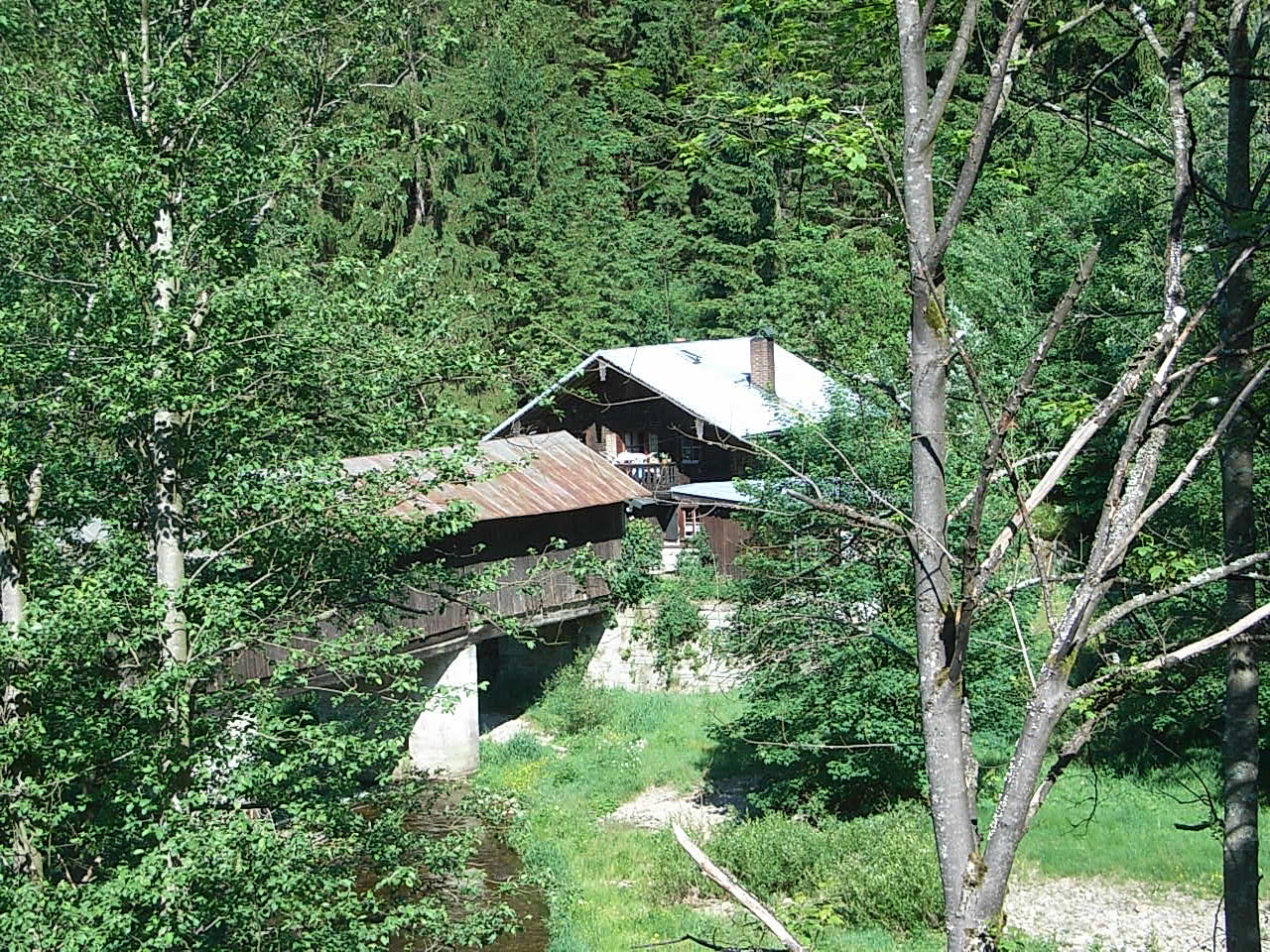
Photo: Konrad Lackerbeck · CC BY-SA 3.0 · Wikimedia CommonsReport this photo · linked, not stored

Ludwigsthal

Bavaria · Germany
Jul–Sepbest months
23°July high
613 maltitude
Ludwigsthal

Nature

Laka
Photo: Prochaine at Czech Wikipedia · Public domain · Wikimedia CommonsReport this photo · linked, not stored
8.9 km NE

Laka

Lake · 1,096 m
Laka
Kleiner Arbersee
Photo: W. Bulach · CC BY-SA 4.0 · Wikimedia CommonsReport this photo · linked, not stored
11 km NW

Kleiner Arbersee

Lake · 920 m
Kleiner Arbersee
Rinchnacher Ohe
Photo: Konrad Lackerbeck · CC BY 3.0 · Wikimedia CommonsReport this photo · linked, not stored
11 km SW

Rinchnacher Ohe

River
Rinchnacher Ohe

Mountains

Satellite: Sentinel-2 cloudless 2016 by EOX IT Services GmbH · CC BY 4.0 · Contains modified Copernicus Sentinel data 2016
9.5 km NW

Großer Arber

1,456 m · Bohemian Forest
Großer Arber
Großer Rachel
Photo: High Contrast · CC BY 3.0 de · Wikimedia CommonsReport this photo · linked, not stored
14 km SE

Großer Rachel

1,453 m · Bavarian Forest
Großer Rachel
Gipfelklippen des Großen Rachel
Photo: Rosa-Maria Rinkl · CC BY-SA 3.0 · Wikimedia CommonsReport this photo · linked, not stored
14 km SE

Gipfelklippen des Großen Rachel

1,450 m
Gipfelklippen des Großen Rachel

Heritage

Herz Jesu, Ludwigsthal

Photo: Konrad Lackerbeck · CC BY-SA 3.0 · Wikimedia CommonsReport this photo · linked, not stored
under 100 m SW

Herz Jesu, Ludwigsthal

architectural heritage monument in Bavaria · 1894
Herz Jesu, Ludwigsthal
Satellite: Sentinel-2 cloudless 2016 by EOX IT Services GmbH · CC BY 4.0 · Contains modified Copernicus Sentinel data 2016
0.2 km S

Schloss Ludwigsthal

architectural heritage monument in Bavaria
Schloss Ludwigsthal
Trifftsperre Fällenrechen
Photo: Konrad Lackerbeck · CC BY-SA 2.5 · Wikimedia CommonsReport this photo · linked, not stored
1.6 km SW

Trifftsperre Fällenrechen

architectural heritage monument in Bavaria
Trifftsperre Fällenrechen

Museums

Bauernhausmuseum Lindberg
Photo: Konrad Lackerbeck · CC BY-SA 3.0 · Wikimedia CommonsReport this photo · linked, not stored
2.8 km SE

Bauernhausmuseum Lindberg

1975
Bauernhausmuseum Lindberg
Falkenstein National Park Centre
Photo: W. Bulach · CC BY-SA 4.0 · Wikimedia CommonsReport this photo · linked, not stored
0.5 km NE

Falkenstein National Park Centre

Visitor center · 2005
Falkenstein National Park Centre
Frauenau Glass Museum
Photo: Konrad Lackerbeck · CC BY 3.0 · Wikimedia CommonsReport this photo · linked, not stored
9.0 km SE

Frauenau Glass Museum

1975
Frauenau Glass Museum