
 Dômes de Miage

Photo: Francofranco56 · Public domain · Wikimedia Commons
Aiguille de TricotReport this photo · linked, not stored
Aiguille de TricotAiguille de TricotReport this photo · linked, not stored

Photo: Yann Forget · CC BY-SA 4.0 · Wikimedia Commons
Aiguille de la BérangèreReport this photo · linked, not stored
Aiguille de la BérangèreAiguille de la BérangèreReport this photo · linked, not stored

Photo: Guilhem Vellut from Annecy, France · CC BY 2.0 · Wikimedia Commons
Arête de TricotReport this photo · linked, not stored
Arête de TricotArête de TricotReport this photo · linked, not stored
Aravis Range · Auvergne-Rhône-Alpes · FranceSummit weather, forecast and climate
Roualle
2,589 mSnow likely Jan–Apr · Nov–Dec
Elevation2,589 mabove sea level
Prominence280 mindependent height
Isolation1.0 kmto a higher summit
Summit, Jul12°average high
45.90° N, 6.50° EElevation 2,589 mUTC+2 · Central European Summer Time
From the valley to the top
- Summit2,589 m
- Mid-mountain1,860 m
- Valley · La Giettaz1,125 m
Freezing level in October: above the summit
iThe mountain
Roualle in brief
Roualle rises to 2,589 m in the Aravis Range, Auvergne-Rhône-Alpes, France. Its topographic prominence — the height it stands above the lowest contour enclosing a higher summit — is 280 m.
At the summit, July is the mildest month with average highs of 12°, while nights fall below freezing in 8 months of the year. Daytime highs climb above zero from April to November.
The nearest town in the atlas is La Giettaz, 4.2 km to the S at 1,125 m.
Facts
- Elevation
- 2,589 m · 8,494 ft
- Prominence
- 280 m
- Range
- Aravis Range
- Region
- Auvergne-Rhône-Alpes
- Country
- France
- Coordinates
- 45.9008, 6.5028
- Nearest airport
- Annecy Meythet airport (NCY) · 31 km
iiForecast
Weather at three heights
Temperatures are adjusted to each height; summits are usually colder and windier than the valley forecast suggests.
Loading the latest forecast…
Loading the latest forecast…
Loading the latest forecast…
iiiSummit climate
The top of Roualle by month
Summit temperatures and precipitation
Climate normals for the summit area (~1 km grid), station-adjusted| Month | Jan | Feb | Mar | Apr | May | Jun | Jul | Aug | Sep | Oct | Nov | Dec |
|---|---|---|---|---|---|---|---|---|---|---|---|---|
| Average high | -1° | -2° | 0° | 3° | 7° | 10° | 12° | 12° | 8° | 6° | 2° | -1° |
| Average low | -15° | -10° | -8° | -5° | 0° | 3° | 5° | 5° | 2° | -1° | -6° | -15° |
| Precipitation | 199 mm | 157 mm | 191 mm | 160 mm | 230 mm | 220 mm | 204 mm | 202 mm | 192 mm | 220 mm | 182 mm | 221 mm |
| Cloud cover | 44% | 45% | 46% | 48% | 47% | 41% | 33% | 35% | 40% | 45% | 47% | 46% |
| Daylight | 9h 03 | 10h 22 | 11h 51 | 13h 31 | 14h 56 | 15h 43 | 15h 24 | 14h 10 | 12h 35 | 10h 59 | 9h 30 | 8h 41 |
| Month score | 19 | 19 | 18 | 18 | 18 | 20 | 32 | 31 | 21 | 19 | 18 | 18 |
Snow and freezing level
Average height of the 0 °C level from the summit normals (6.5 °C per km); snow months have a summit mean at or below +1 °C| Month | Jan | Feb | Mar | Apr | May | Jun | Jul | Aug | Sep | Oct | Nov | Dec |
|---|---|---|---|---|---|---|---|---|---|---|---|---|
| Freezing level | 1,300 m | 1,700 m | 2,000 m | 2,450 m | 3,100 m | 3,600 m | 3,850 m | 3,900 m | 3,400 m | 3,000 m | 2,250 m | 1,400 m |
| Summit | ❄ snow | ❄ snow | ❄ snow | ❄ snow | above 0 °C | above 0 °C | above 0 °C | above 0 °C | above 0 °C | above 0 °C | ❄ snow | ❄ snow |
ivTerrain
Roualle in 3D
vNeighbours
Mountains of FrancePeaks nearby
| Mountain | Elevation | Prominence | Distance | July summit high |
|---|---|---|---|---|
| Dômes de Miage | 3,673 m | 324 m | 25 km E | 3° |
| Aiguille de Tricot | 3,665 m | – | 25 km E | 5° |
| Aiguille de la Bérangère | 3,425 m | 58 m | 24 km SE | 5° |
| Arête de Tricot | 3,221 m | – | 24 km E | 8° |
| Mont Tondu | 3,196 m | 326 m | 25 km SE | 7° |
| Les Rognes | 2,853 m | – | 24 km E | 11° |
| La Tête à l'Âne | 2,804 m | – | 23 km NE | 12° |
| Pointe Percée | 2,750 m | 1,643 m | 7.3 km NE | 11° |
viBase towns
Where to stay nearby


Around here
La Giettaz and around
Nature


Photo: Martial GAILLARD-GRENADIER · CC BY-SA 3.0 · Wikimedia CommonsReport this photo · linked, not stored
Lac de Tardevant
Lake · 2,110 m
Mountains
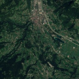
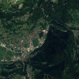
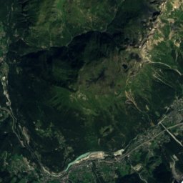
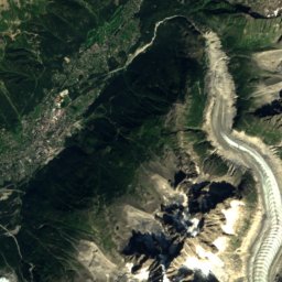
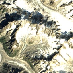
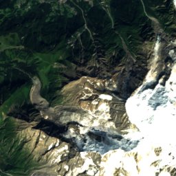
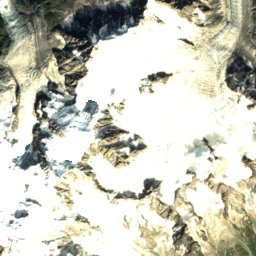
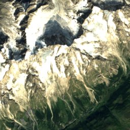
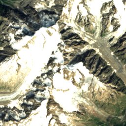
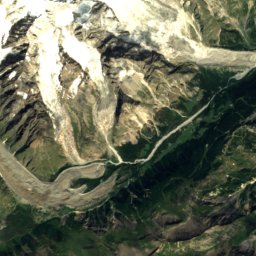
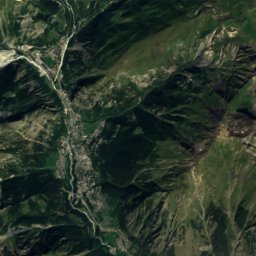
Satellite: Sentinel-2 cloudless 2016 by EOX IT Services GmbH · CC BY 4.0 · Contains modified Copernicus Sentinel data 2016
Central Pillar of Frêney
4,810 m


Heritage

Photo: Guilhem Vellut from Annecy, France · CC BY 2.0 · Wikimedia CommonsReport this photo · linked, not stored
église Saint-Pierre de Manigod
object classified as a historical monument · 1688

Photo: This illustration was made by Peter Potrowl. Please credit this with : © Peter P · CC BY-SA 3.0 · Wikimedia CommonsReport this photo · linked, not stored
Église de Sallanches
monument historique inscrit · 1700

Église Saint-Jean-Baptiste de Megève
monument historique inscrit · 1202
Museums


Satellite: Sentinel-2 cloudless 2016 by EOX IT Services GmbH · CC BY 4.0 · Contains modified Copernicus Sentinel data 2016
Espace muséal de Thônes


Satellite: Sentinel-2 cloudless 2016 by EOX IT Services GmbH · CC BY 4.0 · Contains modified Copernicus Sentinel data 2016