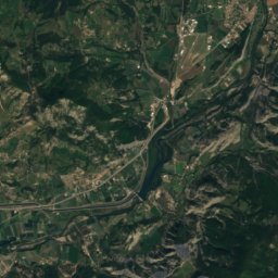
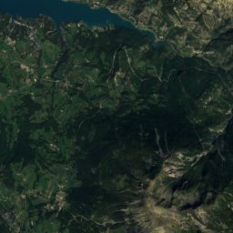
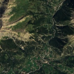
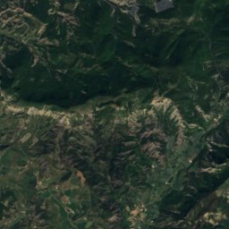
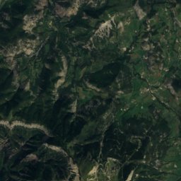
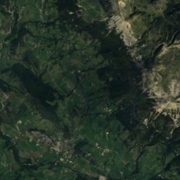
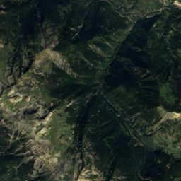
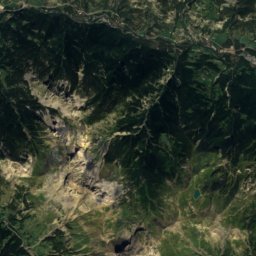
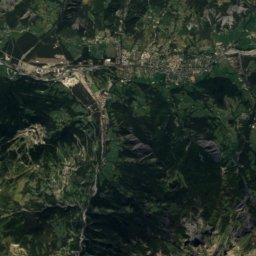
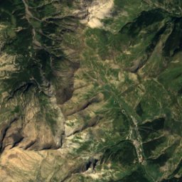
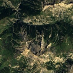
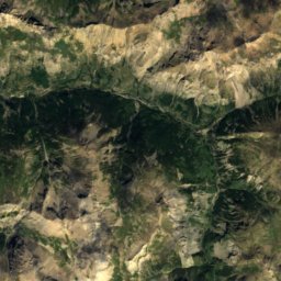
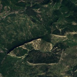
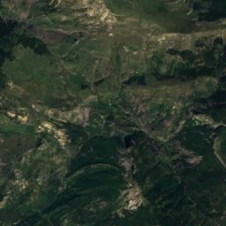
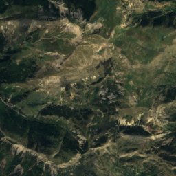
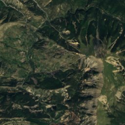
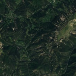
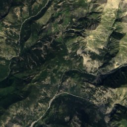
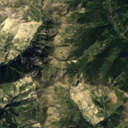
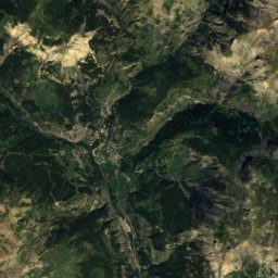
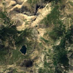
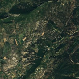
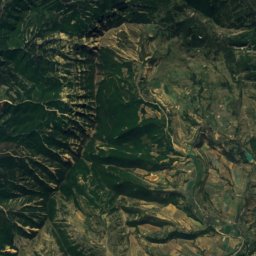
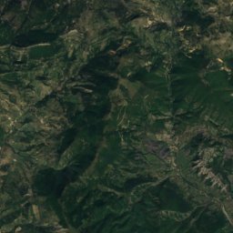
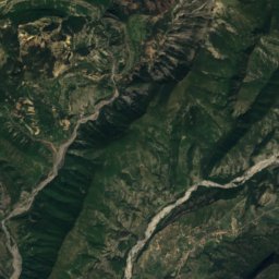
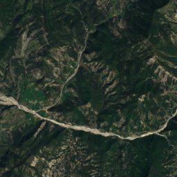
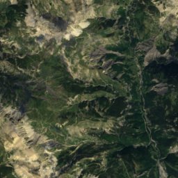
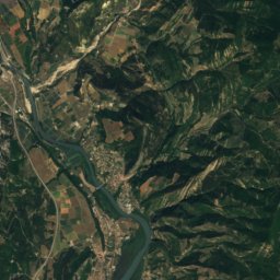
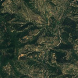
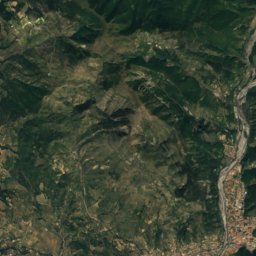
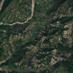
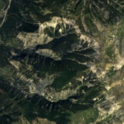
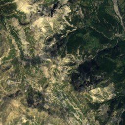
Satellite: Sentinel-2 cloudless 2016 by EOX IT Services GmbH · CC BY 4.0 · Contains modified Copernicus Sentinel data 2016
 Mont Pelat

Photo: Filoucelli pour la vue panoramique complète reprise par André Payan-Passeron · CC BY-SA 4.0 · Wikimedia Commons
CimetReport this photo · linked, not stored
CimetCimetReport this photo · linked, not stored

Photo: C30s · CC BY-SA 3.0 · Wikimedia Commons
Tête de l'EstropReport this photo · linked, not stored
Tête de l'EstropTête de l'EstropReport this photo · linked, not stored

Photo: Carensacs · CC BY-SA 3.0 · Wikimedia Commons
Grande SéolaneReport this photo · linked, not stored
Grande SéolaneGrande SéolaneReport this photo · linked, not stored
Provence-Alpes-Côte d'Azur · FranceSummit weather, forecast and climate
L'Isoard
1,783 mSnow likely Jan–Feb · Dec
Elevation1,783 mabove sea level
Prominence–independent height
Isolation7.7 kmto a higher summit
Summit, Jul22°average high
44.24° N, 6.44° EElevation 1,783 mUTC+1 · Central European Standard Time
From the valley to the top
- Summit1,783 m
- Mid-mountain1,500 m
- Valley · Prads-Haute-Bléone1,211 m
Freezing level in October: above the summit
iThe mountain
L'Isoard in brief
L'Isoard rises to 1,783 m, Provence-Alpes-Côte d'Azur, France.
At the summit, July is the mildest month with average highs of 22°, while nights fall below freezing in 6 months of the year.
The nearest town is Prads-Haute-Bléone, 2.3 km to the SE at 1,211 m.
Facts
- Elevation
- 1,783 m · 5,850 ft
- Region
- Provence-Alpes-Côte d'Azur
- Country
- France
- Coordinates
- 44.2358, 6.4383
- Nearest airport
- Nice-Côte d'Azur Airport (NCE) · 89 km
iiForecast
Weather at three heights
Temperatures are adjusted to each height; summits are usually colder and windier than the valley forecast suggests.
Loading the latest forecast…
Loading the latest forecast…
Loading the latest forecast…
iiiSummit climate
The top of L'Isoard by month
Summit temperatures and precipitation
Climate normals for the summit area (~1 km grid), station-adjusted| Month | Jan | Feb | Mar | Apr | May | Jun | Jul | Aug | Sep | Oct | Nov | Dec |
|---|---|---|---|---|---|---|---|---|---|---|---|---|
| Average high | 4° | 5° | 8° | 11° | 16° | 20° | 22° | 22° | 17° | 13° | 8° | 5° |
| Average low | -6° | -6° | -3° | 0° | 4° | 7° | 9° | 9° | 5° | 2° | -1° | -5° |
| Precipitation | 80 mm | 65 mm | 80 mm | 119 mm | 122 mm | 112 mm | 79 mm | 96 mm | 125 mm | 144 mm | 117 mm | 117 mm |
| Cloud cover | 26% | 27% | 28% | 33% | 35% | 27% | 17% | 20% | 25% | 32% | 30% | 29% |
| Daylight | 9h 14 | 10h 28 | 11h 52 | 13h 26 | 14h 46 | 15h 30 | 15h 12 | 14h 03 | 12h 33 | 11h 03 | 9h 39 | 8h 53 |
| Month score | 36 | 40 | 36 | 30 | 52 | 69 | 78 | 74 | 64 | 41 | 26 | 26 |
Snow and freezing level
Average height of the 0 °C level from the summit normals (6.5 °C per km); snow months have a summit mean at or below +1 °C| Month | Jan | Feb | Mar | Apr | May | Jun | Jul | Aug | Sep | Oct | Nov | Dec |
|---|---|---|---|---|---|---|---|---|---|---|---|---|
| Freezing level | 1,600 m | 1,700 m | 2,200 m | 2,600 m | 3,250 m | 3,800 m | 4,150 m | 4,150 m | 3,550 m | 3,000 m | 2,250 m | 1,750 m |
| Summit | ❄ snow | ❄ snow | above 0 °C | above 0 °C | above 0 °C | above 0 °C | above 0 °C | above 0 °C | above 0 °C | above 0 °C | above 0 °C | ❄ snow |
ivTerrain
L'Isoard in 3D
vNeighbours
Mountains of FrancePeaks nearby
| Mountain | Elevation | Prominence | Distance | July summit high |
|---|---|---|---|---|
| Mont Pelat | 3,051 m | 764 m | 21 km E | 12° |
| Cimet | 3,020 m | 342 m | 22 km E | 12° |
| Tête de l'Estrop | 2,961 m | 717 m | 7.7 km NE | 12° |
| Le Trou de l'Aigle | 2,961 m | 180 m | 23 km E | 12° |
| Grande Séolane | 2,911 m | 388 m | 14 km NE | 12° |
| Barre Noire, Allos | 2,909 m | – | 21 km E | 12° |
| Le Grand Cheval de Bois | 2,838 m | 453 m | 17 km E | 14° |
| Trois-Évêchés | 2,818 m | – | 9.7 km NE | 13° |
viBase towns
Where to stay nearby

Photo: Alpes de Haute Provence · CC BY 2.0 · Wikimedia CommonsReport this photo · linked, not stored
Prads-Haute-Bléone
Provence-Alpes-Côte d'Azur · 2.3 km SE
16°Oct high
10wet days
66score


Around here
Prads-Haute-Bléone and around
Photo: Alpes de Haute Provence · CC BY 2.0 · Wikimedia CommonsReport this photo · linked, not stored
Prads-Haute-Bléone
Provence-Alpes-Côte d'Azur · France
Jul–Sepbest months
26°July high
1,211 maltitude
Nature


Mountains
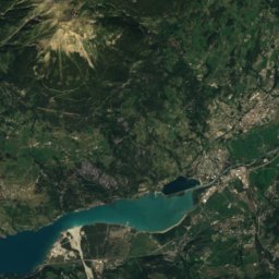
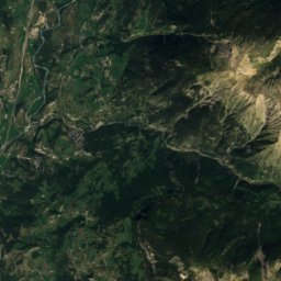
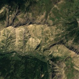
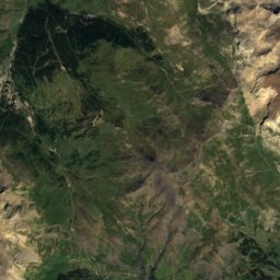
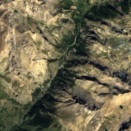
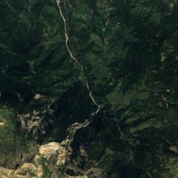
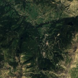
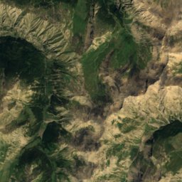
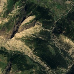
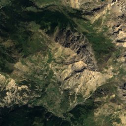
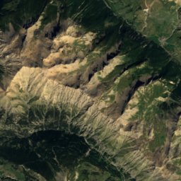
Satellite: Sentinel-2 cloudless 2016 by EOX IT Services GmbH · CC BY 4.0 · Contains modified Copernicus Sentinel data 2016
Grand Bérard
3,046 m · Parpaillon Massif
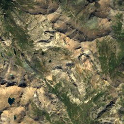
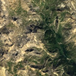
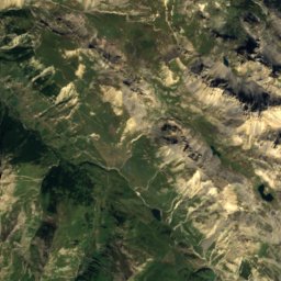
Satellite: Sentinel-2 cloudless 2016 by EOX IT Services GmbH · CC BY 4.0 · Contains modified Copernicus Sentinel data 2016
Tête de Siguret
3,032 m
Heritage

Cadran solaire de la maison communale
monument historique inscrit

Photo: The original uploader was Épiméthée at French Wikipedia. · CC BY-SA 2.5 · Wikimedia CommonsReport this photo · linked, not stored
Pont Saint-Roch
monument historique inscrit


