Skip to content
Destinations
Weather & climate
Nature
Outdoors
Culture
Events
Sky & live
Var
Photo: Guy MAUNIER · CC BY-SA 4.0 · Wikimedia Commons
VarReport this photo · linked, not stored
Lac d'Estenc
Photo: JYB Devot · CC BY-SA 4.0 · Wikimedia Commons
Lac d'EstencReport this photo · linked, not stored
Lac d'Estenc
Lac d'Allos
Photo: kallerna · CC BY-SA 4.0 · Wikimedia Commons
Lac d'AllosReport this photo · linked, not stored
Lac d'Allos
Tinée
Photo: Stemonitis · CC BY-SA 3.0 · Wikimedia Commons
TinéeReport this photo · linked, not stored
Tinée
Lance
Photo: The original uploader was Épiméthée at French Wikipedia. · CC BY-SA 2.5 · Wikimedia Commons
LanceReport this photo · linked, not stored
Lance
RiverAllos, Provence-Alpes-Côte d'Azur

Var

RiverBest Jul–Sep
Elevation–above sea level
Length114 kmsource to mouth
Nearest townAllos9.8 km
44.24° N, 6.75° EUTC+2 · Central European Summer Time
When to goAllos · weather score
JanFebMarAprMayJunJulAugSepOctNovDec59October
Best timeJul–Sep
October: high / low15° / 4°
River

Var in brief

Var is a river in Allos, Provence-Alpes-Côte d'Azur, France.

The nearest town in the atlas is Allos, 9.8 km to the W, where the weather is best in July, August and September.

Var is 114 km long.

Allos: weather and travel guide

Weather nearby now

Forecast for Allos
13°
Cloudy now
Wind7 km/h
Humidity34%
Cloud cover88%
Today
22 Oct
15°
0°
Fri
23 Oct
10°
2°
5 mm
Sat
24 Oct
8°
-1°
Sun
25 Oct
16°
2°
Mon
26 Oct
19°
3°

Model run 00:00 UTCRefreshed several times a day

The course of the river

As mapped in OpenStreetMap, with the towns of the atlas along its banks.
1234567891011121314
  1. 1Entrevaux489 m
  2. 2Puget-Théniers407 m
  3. 3Villars-sur-Var416 m
  4. 4Levens565 m
  5. 5Bonson482 m
  6. 6Gilette467 m
  7. 7Saint-Martin-du-Var106 m
  8. 8Le Broc459 m
  9. 9Carros390 m
  10. 10Aspremont525 m
  11. 11Colomars319 m
  12. 12Gattières266 m
  13. 13La Gaude271 m
  14. 14Saint-Laurent-du-Var32 m
sourcemouth (or where the mapped line leaves the country)
When to go

The best months around Var

Climate of Allos

Month score in Allos

Comfort, dry days and sunshine · out of 100
38
Jan
39
Feb
36
Mar
39
Apr
59
May
73
Jun
78
Jul
78
Aug
77
Sep
59
Oct
31
Nov
34
Dec
Map

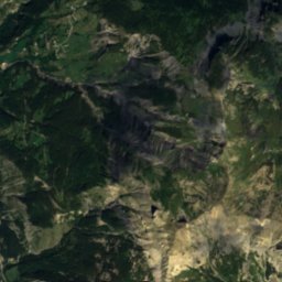
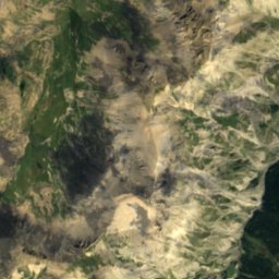
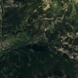
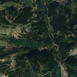
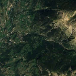
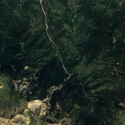
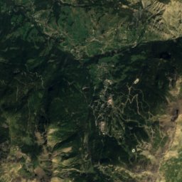
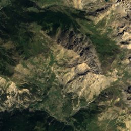
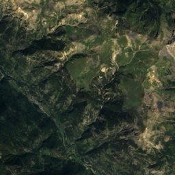
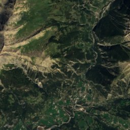
Var from above

Nature nearbyAll of France
Photo: JYB Devot · CC BY-SA 4.0 · Wikimedia CommonsReport this photo · linked, not stored
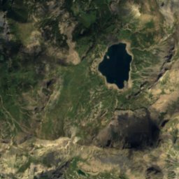
Lac d'EstencLake0.1 kmSLac d'Estenc
Photo: kallerna · CC BY-SA 4.0 · Wikimedia CommonsReport this photo · linked, not stored
Lac d'AllosLake3.5 kmWLac d'Allos
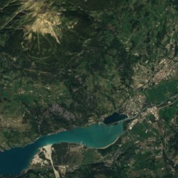
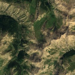
Satellite: Sentinel-2 cloudless 2016 by EOX IT Services GmbH · CC BY 4.0 · Contains modified Copernicus Sentinel data 2016
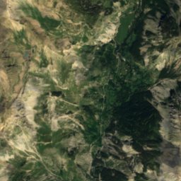
BourdousRiver5.9 kmSBourdous
Photo: Stemonitis · CC BY-SA 3.0 · Wikimedia CommonsReport this photo · linked, not stored
TinéeRiver11 kmNETinée
Photo: The original uploader was Épiméthée at French Wikipedia. · CC BY-SA 2.5 · Wikimedia CommonsReport this photo · linked, not stored
LanceRiver12 kmSWLance
Photo: Stemonitis · CC BY-SA 3.0 · Wikimedia CommonsReport this photo · linked, not stored
Ardon, Provence-Alpes-Côte d'AzurRiver13 kmEArdon, Provence-Alpes-Côte d'Azur
Summits nearbyMountains of France
Photo: Harald Hetzner · CC0 · Wikimedia CommonsReport this photo · linked, not stored
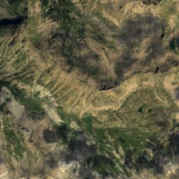
Mont Pelat5.0 km NW3,051 mJuly 12°Mont Pelat
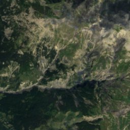
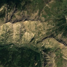
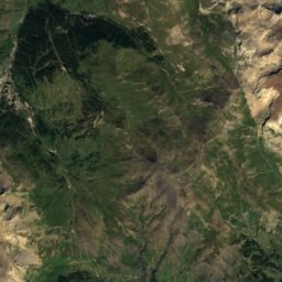
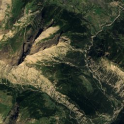
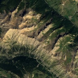
Satellite: Sentinel-2 cloudless 2016 by EOX IT Services GmbH · CC BY 4.0 · Contains modified Copernicus Sentinel data 2016
Grand Bérard25 km N3,046 mJuly 12°Grand Bérard
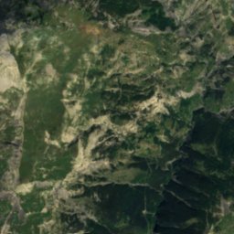
Satellite: Sentinel-2 cloudless 2016 by EOX IT Services GmbH · CC BY 4.0 · Contains modified Copernicus Sentinel data 2016
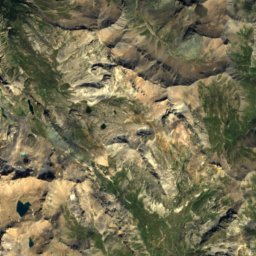
Tête de Siguret23 km N3,032 mJuly 13°Tête de Siguret
Photo: Nem80 · CC BY-SA 3.0 · Wikimedia CommonsReport this photo · linked, not stored
Monte Tenibres18 km E3,031 mJuly 12°Monte Tenibres
Photo: Filoucelli pour la vue panoramique complète reprise par André Payan-Passeron · CC BY-SA 4.0 · Wikimedia CommonsReport this photo · linked, not stored
Cimet6.9 km NW3,020 mJuly 12°Cimet
Photo: Nem80 · CC BY-SA 3.0 · Wikimedia CommonsReport this photo · linked, not stored
Cima di Corboraut20 km E3,010 mJuly 12°Cima di Corboraut
Stay nearby

Towns close by

Allos
Photo: kallerna · CC BY-SA 4.0 · Wikimedia CommonsReport this photo · linked, not stored

Allos

Provence-Alpes-Côte d'Azur · 9.8 km W
15°Oct high
10wet days
59score
Allos
Saint-Dalmas-le-Selvage
Photo: Unknown author · CC BY-SA 2.5 · Wikimedia CommonsReport this photo · linked, not stored

Saint-Dalmas-le-Selvage

Provence-Alpes-Côte d'Azur · 10 km NE
13°Oct high
10wet days
46score
Saint-Dalmas-le-Selvage
Saint-Martin-d'Entraunes
Photo: MOSSOT · CC BY-SA 3.0 · Wikimedia CommonsReport this photo · linked, not stored

Saint-Martin-d'Entraunes

Provence-Alpes-Côte d'Azur · 11 km S
17°Oct high
10wet days
72score
Saint-Martin-d'Entraunes
Colmars
Photo: Celeda · CC BY-SA 4.0 · Wikimedia CommonsReport this photo · linked, not stored

Colmars

Provence-Alpes-Côte d'Azur · 12 km SW
16°Oct high
10wet days
64score
Colmars
Around here

Allos and around

Allos
Photo: kallerna · CC BY-SA 4.0 · Wikimedia CommonsReport this photo · linked, not stored

Allos

Provence-Alpes-Côte d'Azur · France
Jul–Sepbest months
24°July high
1,438 maltitude
Allos

Nature

Lac d'Allos
Photo: kallerna · CC BY-SA 4.0 · Wikimedia CommonsReport this photo · linked, not stored
6.4 km E

Lac d'Allos

Lake · 2,230 m
Lac d'Allos
Lac d'Estenc
Photo: JYB Devot · CC BY-SA 4.0 · Wikimedia CommonsReport this photo · linked, not stored
9.8 km E

Lac d'Estenc

Lake · 1,780 m
Lac d'Estenc
Lance
Photo: The original uploader was Épiméthée at French Wikipedia. · CC BY-SA 2.5 · Wikimedia CommonsReport this photo · linked, not stored
7.0 km S

Lance

River
Lance

Mountains

Aiguille de Chambeyron
Photo: Unknown author · CC BY-SA 3.0 · Wikimedia CommonsReport this photo · linked, not stored
39 km NE

Aiguille de Chambeyron

3,412 m · Chambeyron Mountains
Aiguille de Chambeyron
Brec de Chambeyron
Photo: Bruno Zunino · CC BY 2.5 · Wikimedia CommonsReport this photo · linked, not stored
36 km NE

Brec de Chambeyron

3,389 m · Chambeyron Mountains
Brec de Chambeyron
Buc de Nubiera
Photo: Francofranco56 · CC BY-SA 4.0 · Wikimedia CommonsReport this photo · linked, not stored
35 km NE

Buc de Nubiera

3,215 m · Chambeyron Mountains
Buc de Nubiera

Heritage

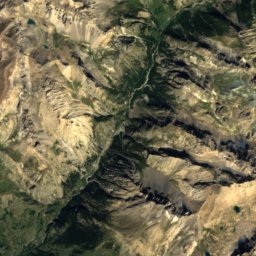
Satellite: Sentinel-2 cloudless 2016 by EOX IT Services GmbH · CC BY 4.0 · Contains modified Copernicus Sentinel data 2016
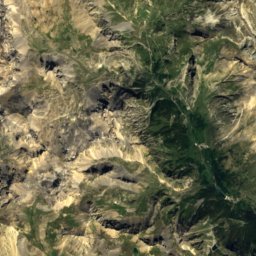
under 100 m SW

Chapelle Saint-Sébastien d'Allos

monument historique inscrit
Chapelle Saint-Sébastien d'Allos
Satellite: Sentinel-2 cloudless 2016 by EOX IT Services GmbH · CC BY 4.0 · Contains modified Copernicus Sentinel data 2016
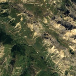
0.3 km S

Église Notre-Dame-de-Valvert

classified historical monument
Église Notre-Dame-de-Valvert
Pont Haut
Photo: Épiméthée · CC BY-SA 2.5 · Wikimedia CommonsReport this photo · linked, not stored
6.0 km S

Pont Haut

monument historique inscrit
Pont Haut

Museums

Maison-Musée du Haut-Verdon
Photo: Julie EMERIC · CC BY-SA 4.0 · Wikimedia CommonsReport this photo · linked, not stored
6.6 km S

Maison-Musée du Haut-Verdon

2003
Maison-Musée du Haut-Verdon