
Photo: Diego Brito from Antiguo Cuscatlán, El Salvador · CC BY-SA 2.0 · Wikimedia Commons
San Salvador VolcanoReport this photo · linked, not stored
San Salvador VolcanoReport this photo · linked, not stored
Central American Cordillera · La Libertad Department · El SalvadorSummit weather, forecast and climate
San Salvador Volcano
Stratovolcano · last major eruption 19171,893 m
Elevation1,893 mabove sea level
Prominence–independent height
Isolation4.2 kmto a higher summit
Summit, Jul22°average high
13.73° N, 89.29° WElevation 1,893 mUTC−6 · Central Standard Time
From the valley to the top
- Summit1,893 m
- Mid-mountain1,430 m
- Valley · Santa Tecla965 m
Freezing level in October: above the summit
iThe mountain
San Salvador Volcano in brief
San Salvador Volcano rises to 1,893 m in the Central American Cordillera, La Libertad Department, El Salvador.
At the summit, March is the mildest month with average highs of 24°, while nights rarely fall below freezing.
The nearest town in the atlas is Santa Tecla, 6.4 km to the S at 965 m.
Facts
- Elevation
- 1,893 m · 6,211 ft
- Range
- Central American Cordillera
- Region
- La Libertad Department
- Country
- El Salvador
- Coordinates
- 13.7339, -89.2939
- Nearest airport
- Ilopango International Airport (ILS) · 19 km
iiForecast
Weather at three heights
Temperatures are adjusted to each height; summits are usually colder and windier than the valley forecast suggests.
Loading the latest forecast…
Loading the latest forecast…
Loading the latest forecast…
iiiSummit climate
The top of San Salvador Volcano by month
Summit temperatures and precipitation
Climate normals for the summit area (~1 km grid), station-adjusted| Month | Jan | Feb | Mar | Apr | May | Jun | Jul | Aug | Sep | Oct | Nov | Dec |
|---|---|---|---|---|---|---|---|---|---|---|---|---|
| Average high | 23° | 24° | 24° | 24° | 22° | 21° | 22° | 22° | 21° | 21° | 22° | 23° |
| Average low | 11° | 12° | 12° | 13° | 14° | 14° | 13° | 14° | 14° | 13° | 12° | 12° |
| Precipitation | 2 mm | 4 mm | 11 mm | 43 mm | 188 mm | 306 mm | 324 mm | 306 mm | 363 mm | 207 mm | 38 mm | 9 mm |
| Cloud cover | 12% | 13% | 15% | 25% | 54% | 75% | 66% | 66% | 73% | 56% | 32% | 16% |
| Daylight | 11h 24 | 11h 42 | 12h 03 | 12h 26 | 12h 46 | 12h 56 | 12h 52 | 12h 35 | 12h 13 | 11h 50 | 11h 30 | 11h 19 |
| Month score | 99 | 99 | 97 | 88 | 57 | 48 | 52 | 52 | 49 | 56 | 89 | 98 |
Snow and freezing level
Average height of the 0 °C level from the summit normals (6.5 °C per km); snow months have a summit mean at or below +1 °C| Month | Jan | Feb | Mar | Apr | May | Jun | Jul | Aug | Sep | Oct | Nov | Dec |
|---|---|---|---|---|---|---|---|---|---|---|---|---|
| Freezing level | 4,550 m | 4,600 m | 4,650 m | 4,750 m | 4,700 m | 4,600 m | 4,600 m | 4,600 m | 4,550 m | 4,500 m | 4,500 m | 4,500 m |
| Summit | above 0 °C | above 0 °C | above 0 °C | above 0 °C | above 0 °C | above 0 °C | above 0 °C | above 0 °C | above 0 °C | above 0 °C | above 0 °C | above 0 °C |
ivTerrain
San Salvador Volcano in 3D
vNeighbours
Mountains of El SalvadorPeaks nearby
| Mountain | Elevation | Prominence | Distance | July summit high |
|---|---|---|---|---|
| Cerro El Picacho | 1,940 m | – | 4.2 km E | 22° |
viBase towns
Where to stay nearby

Around here
Santa Tecla and around

Santa Tecla
La Libertad Department · El Salvador
Jan–Feb · Decbest months
27°July high
965 maltitude
Nature
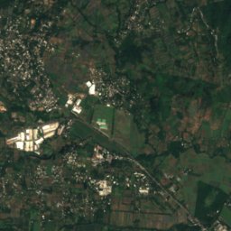
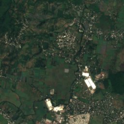
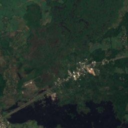
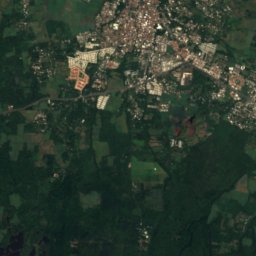
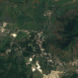
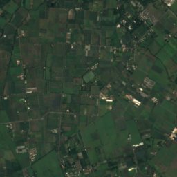
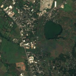
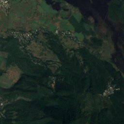
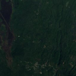
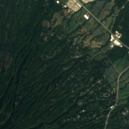
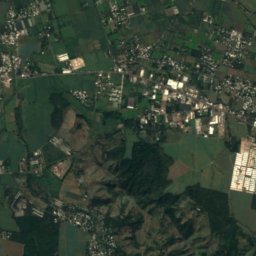
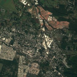
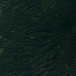
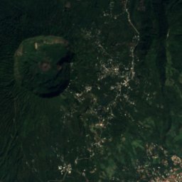
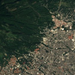
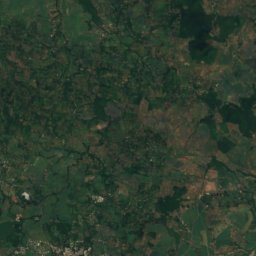
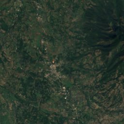
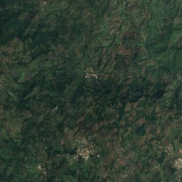
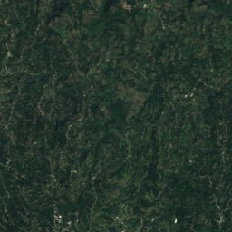
Satellite: Sentinel-2 cloudless 2016 by EOX IT Services GmbH · CC BY 4.0 · Contains modified Copernicus Sentinel data 2016
El Boqueron National Park
National park

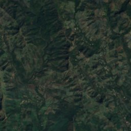
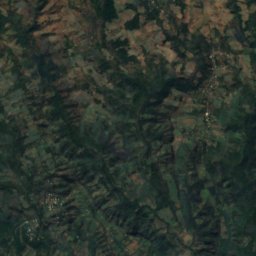
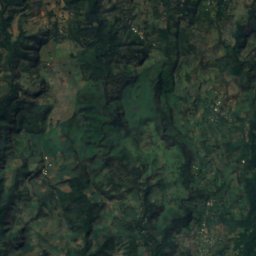
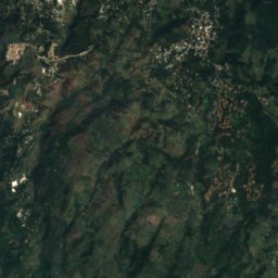
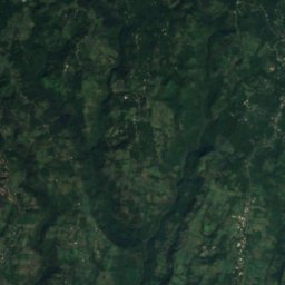
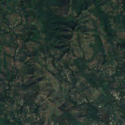
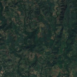
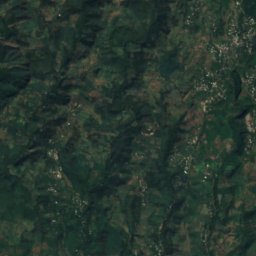
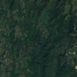
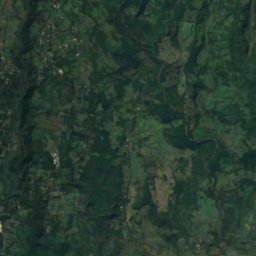
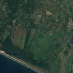
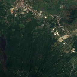
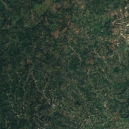
Satellite: Sentinel-2 cloudless 2016 by EOX IT Services GmbH · CC BY 4.0 · Contains modified Copernicus Sentinel data 2016
Playa Las Flores, La Libertad Department
Beach · 13 m
Mountains
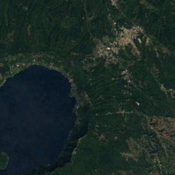
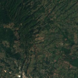
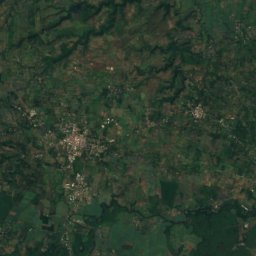
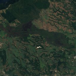
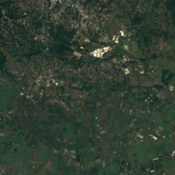
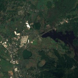
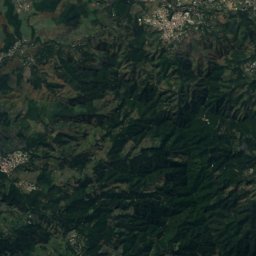
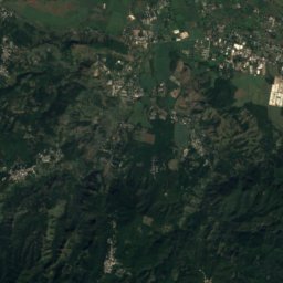
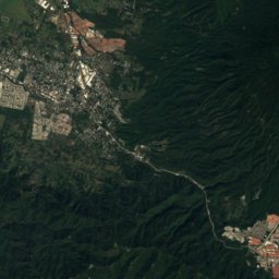
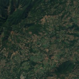
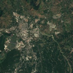
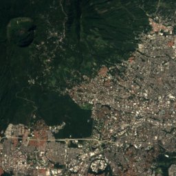
Satellite: Sentinel-2 cloudless 2016 by EOX IT Services GmbH · CC BY 4.0 · Contains modified Copernicus Sentinel data 2016
Cerro El Picacho
1,940 m
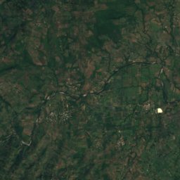
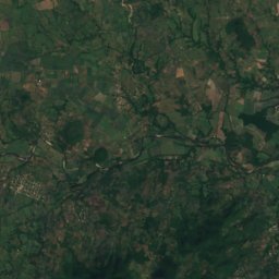
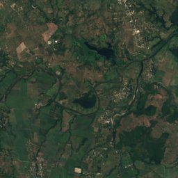
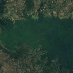
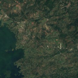
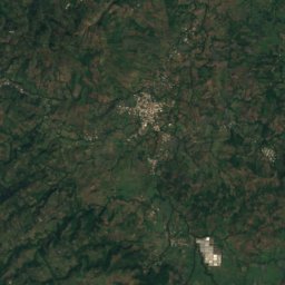
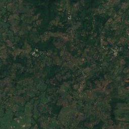
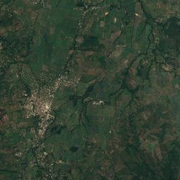
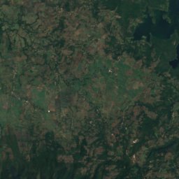
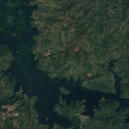
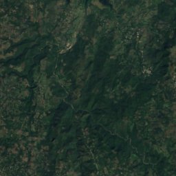
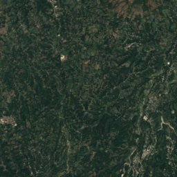
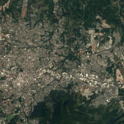
Satellite: Sentinel-2 cloudless 2016 by EOX IT Services GmbH · CC BY 4.0 · Contains modified Copernicus Sentinel data 2016
Guazapa
1,438 m · American Cordillera
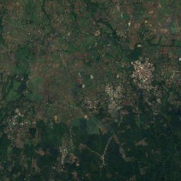
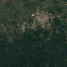
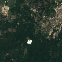
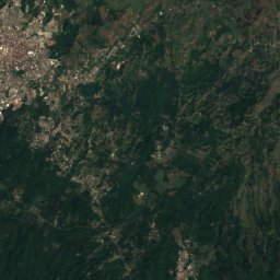
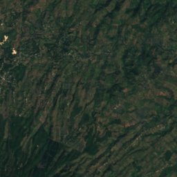
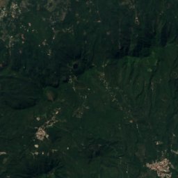
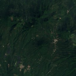
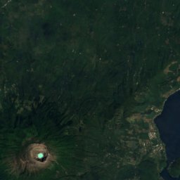
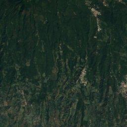
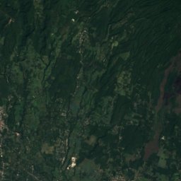
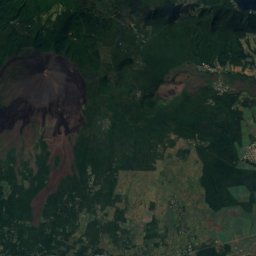
Satellite: Sentinel-2 cloudless 2016 by EOX IT Services GmbH · CC BY 4.0 · Contains modified Copernicus Sentinel data 2016
San Marcelino
1,314 m · Cordillera de Apaneca-Lamatepec
Heritage

Teatro Nacional de San Salvador
building with patrimonial value · 1917

Photo: Olivia Isabel Flores · CC BY-SA 3.0 · Wikimedia CommonsReport this photo · linked, not stored
Hospital Nacional Rosales
building with patrimonial value · 1891

Plaza Gerardo Barrios
statues/busts/sculptures/monuments with patrimonial value
Museums
Satellite: Sentinel-2 cloudless 2016 by EOX IT Services GmbH · CC BY 4.0 · Contains modified Copernicus Sentinel data 2016
Museo de la Palabra y la Imagen
History museum · 1996
Satellite: Sentinel-2 cloudless 2016 by EOX IT Services GmbH · CC BY 4.0 · Contains modified Copernicus Sentinel data 2016
Museo de la Fuerza Armada de El Salvador
Military museum · 1993



Satellite: Sentinel-2 cloudless 2016 by EOX IT Services GmbH · CC BY 4.0 · Contains modified Copernicus Sentinel data 2016
Museo de Arte de El Salvador
Art museum