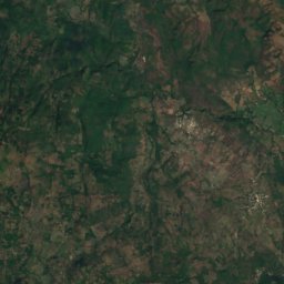
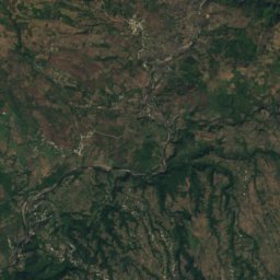
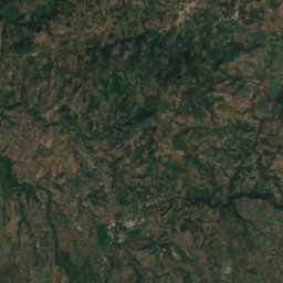
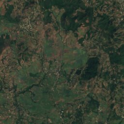
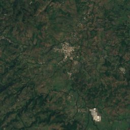
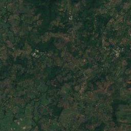
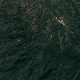
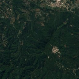
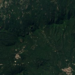
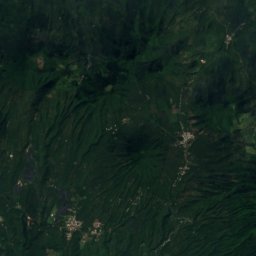
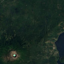
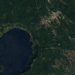
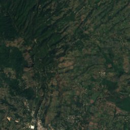
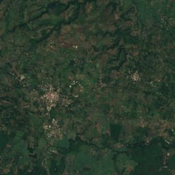
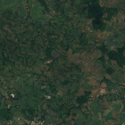
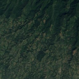
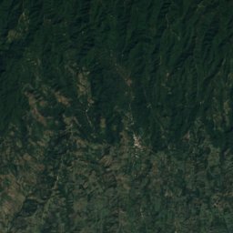
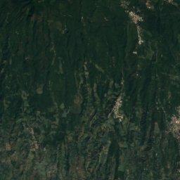
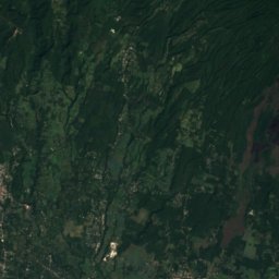
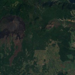
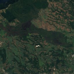
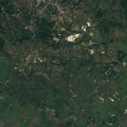
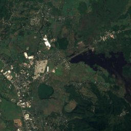
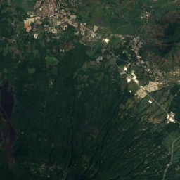
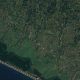
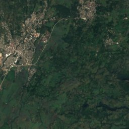
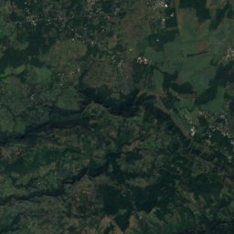
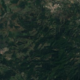
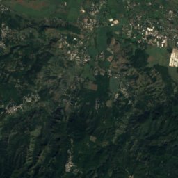
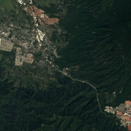
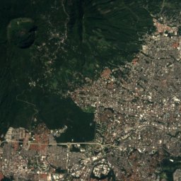
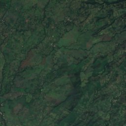
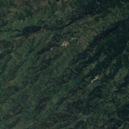
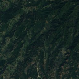
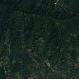
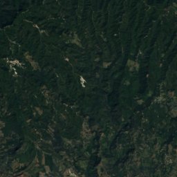
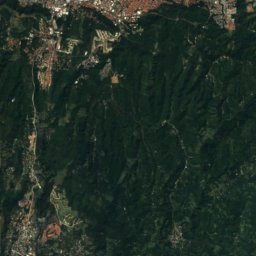
Satellite: Sentinel-2 cloudless 2016 by EOX IT Services GmbH · CC BY 4.0 · Contains modified Copernicus Sentinel data 2016

Photo: Unknown author · Public domain · Wikimedia Commons
Santa Ana VolcanoReport this photo · linked, not stored
Santa Ana VolcanoSanta Ana VolcanoReport this photo · linked, not stored

Photo: Dead.rabbit · CC BY-SA 4.0 · Wikimedia Commons
Cerro VerdeReport this photo · linked, not stored
Cerro VerdeCerro VerdeReport this photo · linked, not stored

Photo: Angela Rucker, USAID · Public domain · Wikimedia Commons
IzalcoReport this photo · linked, not stored
IzalcoIzalcoReport this photo · linked, not stored

Photo: Contains modified Copernicus Sentinel data 2022 · Attribution · Wikimedia Commons
Coatepeque CalderaReport this photo · linked, not stored
Coatepeque CalderaCoatepeque CalderaReport this photo · linked, not stored
Cordillera de Apaneca-Lamatepec · Sonsonate Department · El SalvadorSummit weather, forecast and climate
San Marcelino
Volcano1,314 m
Elevation1,314 mabove sea level
Prominence–independent height
Isolation3.9 kmto a higher summit
Summit, Jul25°average high
13.81° N, 89.59° WElevation 1,314 mUTC−6 · Central Standard Time
From the valley to the top
- Summit1,314 m
- Mid-mountain780 m
- Valley · Sonsonate245 m
Freezing level in October: above the summit
iThe mountain
San Marcelino in brief
San Marcelino rises to 1,314 m in the Cordillera de Apaneca-Lamatepec, Sonsonate Department, El Salvador.
At the summit, March is the mildest month with average highs of 27°, while nights rarely fall below freezing.
The nearest town in the atlas is Sonsonate, 17 km to the SW at 245 m.
Facts
- Elevation
- 1,314 m · 4,311 ft
- Range
- Cordillera de Apaneca-Lamatepec
- Region
- Sonsonate Department
- Country
- El Salvador
- Coordinates
- 13.8053, -89.5942
- Nearest airport
- Ilopango International Airport (ILS) · 53 km
iiForecast
Weather at three heights
Temperatures are adjusted to each height; summits are usually colder and windier than the valley forecast suggests.
Loading the latest forecast…
Loading the latest forecast…
Loading the latest forecast…
iiiSummit climate
The top of San Marcelino by month
Summit temperatures and precipitation
Climate normals for the summit area (~1 km grid), station-adjusted| Month | Jan | Feb | Mar | Apr | May | Jun | Jul | Aug | Sep | Oct | Nov | Dec |
|---|---|---|---|---|---|---|---|---|---|---|---|---|
| Average high | 26° | 27° | 27° | 27° | 25° | 24° | 25° | 25° | 24° | 24° | 25° | 25° |
| Average low | 14° | 15° | 15° | 17° | 17° | 17° | 17° | 17° | 17° | 16° | 15° | 15° |
| Precipitation | 4 mm | 7 mm | 17 mm | 72 mm | 294 mm | 496 mm | 461 mm | 447 mm | 546 mm | 302 mm | 63 mm | 13 mm |
| Cloud cover | 10% | 11% | 14% | 23% | 52% | 73% | 64% | 65% | 71% | 54% | 29% | 14% |
| Daylight | 11h 24 | 11h 42 | 12h 03 | 12h 26 | 12h 46 | 12h 56 | 12h 52 | 12h 35 | 12h 13 | 11h 50 | 11h 30 | 11h 19 |
| Month score | 96 | 92 | 87 | 72 | 56 | 49 | 53 | 52 | 50 | 57 | 83 | 95 |
Snow and freezing level
Average height of the 0 °C level from the summit normals (6.5 °C per km); snow months have a summit mean at or below +1 °C| Month | Jan | Feb | Mar | Apr | May | Jun | Jul | Aug | Sep | Oct | Nov | Dec |
|---|---|---|---|---|---|---|---|---|---|---|---|---|
| Freezing level | 4,400 m | 4,500 m | 4,600 m | 4,700 m | 4,600 m | 4,500 m | 4,500 m | 4,550 m | 4,450 m | 4,400 m | 4,400 m | 4,400 m |
| Summit | above 0 °C | above 0 °C | above 0 °C | above 0 °C | above 0 °C | above 0 °C | above 0 °C | above 0 °C | above 0 °C | above 0 °C | above 0 °C | above 0 °C |
ivTerrain
San Marcelino in 3D
vNeighbours
Mountains of El SalvadorPeaks nearby
| Mountain | Elevation | Prominence | Distance | July summit high |
|---|---|---|---|---|
| Santa Ana Volcano | 2,381 m | – | 6.5 km NW | 18° |
| Cerro Verde | 2,030 m | – | 3.9 km NW | 21° |
| Izalco | 1,952 m | – | 4.3 km W | 22° |
| Coatepeque Caldera | 746 m | – | 8.6 km NE | 29° |
viBase towns
Where to stay nearby
Satellite: Sentinel-2 cloudless 2016 by EOX IT Services GmbH · CC BY 4.0 · Contains modified Copernicus Sentinel data 2016
Sonsonate
Sonsonate Department · 17 km SW
29°Oct high
23wet days
44score

Photo: Mariordo (Mario Roberto Durán Ortiz) · CC BY-SA 3.0 · Wikimedia CommonsReport this photo · linked, not stored
Santa Ana
Santa Ana Department · 21 km N
28°Oct high
23wet days
46score

Around here
Sonsonate and around
Nature

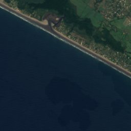
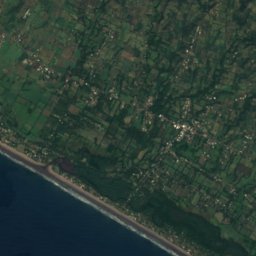

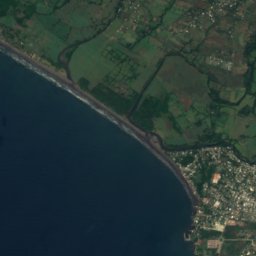
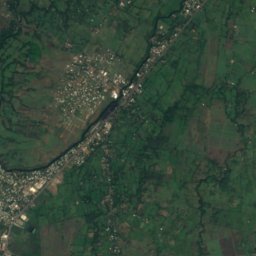
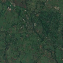


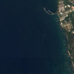
Satellite: Sentinel-2 cloudless 2016 by EOX IT Services GmbH · CC BY 4.0 · Contains modified Copernicus Sentinel data 2016
Sensunapan River
River
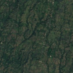
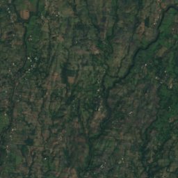
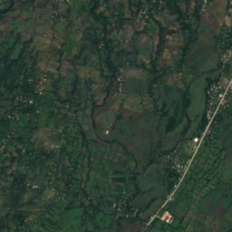
Satellite: Sentinel-2 cloudless 2016 by EOX IT Services GmbH · CC BY 4.0 · Contains modified Copernicus Sentinel data 2016
Copinula River
River
Mountains
Photo: Angela Rucker, USAID · Public domain · Wikimedia CommonsReport this photo · linked, not stored
Izalco
1,952 m · Cordillera de Apaneca-Lamatepec
Heritage


Satellite: Sentinel-2 cloudless 2016 by EOX IT Services GmbH · CC BY 4.0 · Contains modified Copernicus Sentinel data 2016
Most Holy Trinity Cathedral, Sonsonate
Religious patrimony