
Photo: Kevin Teague · CC BY 2.0 · Wikimedia Commons
Pyroclastic PeakReport this photo · linked, not stored
Pyroclastic PeakReport this photo · linked, not stored

Photo: Martin Bravenboer · CC BY 2.0 · Wikimedia Commons
Mount CallaghanReport this photo · linked, not stored
Mount CallaghanMount CallaghanReport this photo · linked, not stored

Photo: Andre Charland · CC BY 2.0 · Wikimedia Commons
Mount CayleyReport this photo · linked, not stored
Mount CayleyMount CayleyReport this photo · linked, not stored

Photo: Kevin Teague · CC BY 2.0 · Wikimedia Commons
Mount Cayley volcanic fieldReport this photo · linked, not stored
Mount Cayley volcanic fieldMount Cayley volcanic fieldReport this photo · linked, not stored

Photo: Martin Bravenboer · CC BY 2.0 · Wikimedia Commons
Powder MountainReport this photo · linked, not stored
Powder MountainPowder MountainReport this photo · linked, not stored
Pacific Ranges · British Columbia · CanadaSummit weather, forecast and climate
Pyroclastic Peak
Volcano2,349 mSnow likely Jan–May · Oct–Dec
Elevation2,349 mabove sea level
Prominence145 mindependent height
Isolation0.7 kmto a higher summit
Summit, Jul13°average high
50.11° N, 123.29° WElevation 2,349 mUTC−7 · Pacific Daylight Time
From the valley to the top
- Summit2,349 m
- Mid-mountain1,510 m
- Valley · Whistler673 m
Freezing level in October: 2,050 m
iThe mountain
Pyroclastic Peak in brief
Pyroclastic Peak rises to 2,349 m in the Pacific Ranges, British Columbia, Canada. Its topographic prominence — the height it stands above the lowest contour enclosing a higher summit — is 145 m.
At the summit, August is the mildest month with average highs of 14°, while nights fall below freezing in 10 months of the year. Daytime highs climb above zero from May to October.
The nearest town in the atlas is Whistler, 24 km to the E at 673 m.
Facts
- Elevation
- 2,349 m · 7,707 ft
- Prominence
- 145 m
- Range
- Pacific Ranges
- Region
- British Columbia
- Country
- Canada
- Coordinates
- 50.1144, -123.2930
- Nearest airport
- Powell River Airport (YPW) · 92 km
iiForecast
Weather at three heights
Temperatures are adjusted to each height; summits are usually colder and windier than the valley forecast suggests.
Loading the latest forecast…
Loading the latest forecast…
Loading the latest forecast…
iiiSummit climate
The top of Pyroclastic Peak by month
Summit temperatures and precipitation
Climate normals for the summit area (~1 km grid), station-adjusted| Month | Jan | Feb | Mar | Apr | May | Jun | Jul | Aug | Sep | Oct | Nov | Dec |
|---|---|---|---|---|---|---|---|---|---|---|---|---|
| Average high | -7° | -5° | -3° | 0° | 4° | 9° | 13° | 14° | 10° | 2° | -5° | -9° |
| Average low | -13° | -13° | -11° | -8° | -6° | -1° | 2° | 2° | -1° | -6° | -11° | -14° |
| Precipitation | 418 mm | 295 mm | 287 mm | 200 mm | 150 mm | 138 mm | 97 mm | 110 mm | 160 mm | 389 mm | 471 mm | 402 mm |
| Cloud cover | 62% | 55% | 58% | 55% | 51% | 52% | 38% | 35% | 39% | 55% | 64% | 60% |
| Daylight | 8h 33 | 10h 07 | 11h 51 | 13h 47 | 15h 26 | 16h 22 | 15h 58 | 14h 30 | 12h 39 | 10h 47 | 9h 03 | 8h 05 |
| Month score | 12 | 15 | 13 | 15 | 16 | 16 | 45 | 46 | 21 | 15 | 11 | 13 |
Snow and freezing level
Average height of the 0 °C level from the summit normals (6.5 °C per km); snow months have a summit mean at or below +1 °C| Month | Jan | Feb | Mar | Apr | May | Jun | Jul | Aug | Sep | Oct | Nov | Dec |
|---|---|---|---|---|---|---|---|---|---|---|---|---|
| Freezing level | 800 m | 950 m | 1,250 m | 1,700 m | 2,250 m | 2,950 m | 3,550 m | 3,600 m | 3,050 m | 2,050 m | 1,050 m | 600 m |
| Summit | ❄ snow | ❄ snow | ❄ snow | ❄ snow | ❄ snow | above 0 °C | above 0 °C | above 0 °C | above 0 °C | ❄ snow | ❄ snow | ❄ snow |
ivTerrain
Pyroclastic Peak in 3D
vNeighbours
Mountains of CanadaPeaks nearby
| Mountain | Elevation | Prominence | Distance | July summit high |
|---|---|---|---|---|
| Mount Callaghan | 2,409 m | 914 m | 13 km N | 12° |
| Mount Cayley | 2,385 m | – | 0.7 km N | 13° |
| Mount Cayley volcanic field | 2,377 m | – | 0.7 km N | 13° |
| Powder Mountain | 2,347 m | 653 m | 3.8 km N | 12° |
| Black Tusk | 2,319 m | 569 m | 24 km SE | 14° |
| Rainbow Mountain | 2,314 m | 1,019 m | 19 km NE | 13° |
| Vulcan's Thumb | 2,290 m | – | 0.5 km SE | 15° |
| Brandywine Mountain | 2,213 m | 428 m | 5.1 km E | 13° |
viBase towns
Where to stay nearby

Photo: Ruth Hartnup from Vancouver, Canada · CC BY 2.0 · Wikimedia CommonsReport this photo · linked, not stored
Whistler
British Columbia · 24 km E
11°Oct high
16wet days
21score
Around here
Whistler and around
Photo: Ruth Hartnup from Vancouver, Canada · CC BY 2.0 · Wikimedia CommonsReport this photo · linked, not stored
Whistler
British Columbia · Canada
Jul–Sepbest months
23°July high
673 maltitude
Nature


Photo: IvanAndreevich at English Wikipedia · CC BY 3.0 · Wikimedia CommonsReport this photo · linked, not stored
Wedgemount Lake
Lake · 1,861 m

Mountains
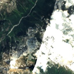
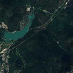
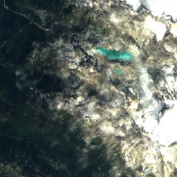
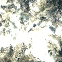
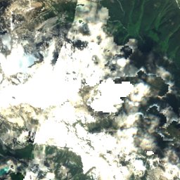
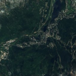
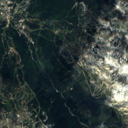
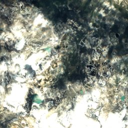
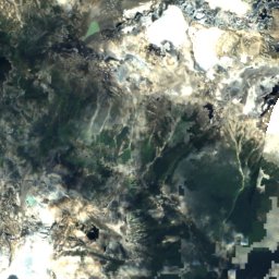
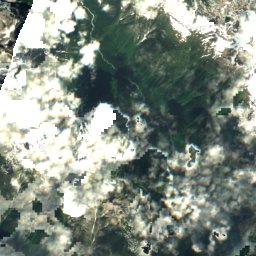
Satellite: Sentinel-2 cloudless 2016 by EOX IT Services GmbH · CC BY 4.0 · Contains modified Copernicus Sentinel data 2016
Lesser Wedge Mountain
2,904 m


Museums




Satellite: Sentinel-2 cloudless 2016 by EOX IT Services GmbH · CC BY 4.0 · Contains modified Copernicus Sentinel data 2016
Audain Art Museum
Art museum