Skip to content
Destinations
Weather & climate
Nature
Outdoors
Culture
Events
Sky & live
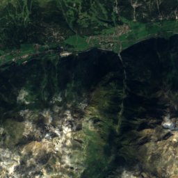
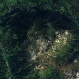
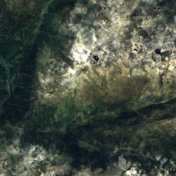
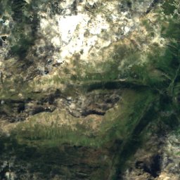
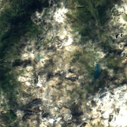
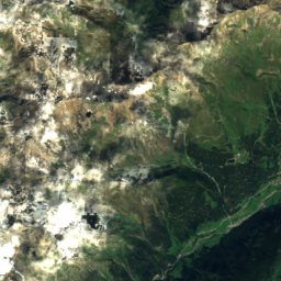
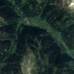
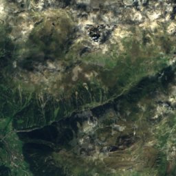
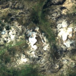
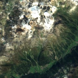
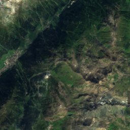
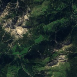
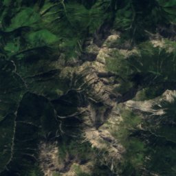
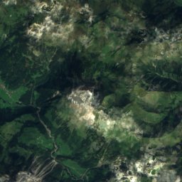
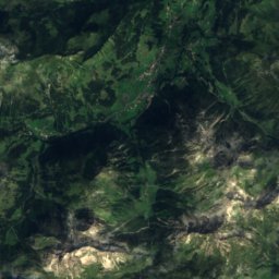
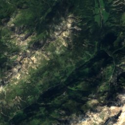
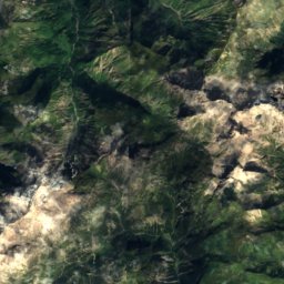
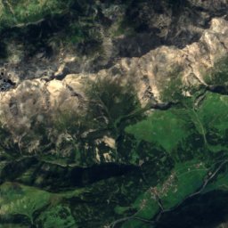
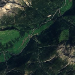
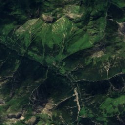
Satellite: Sentinel-2 cloudless 2016 by EOX IT Services GmbH · CC BY 4.0 · Contains modified Copernicus Sentinel data 2016
Imster Muttekopf
Photo: I, Tubantia · CC BY-SA 3.0 · Wikimedia Commons
Imster MuttekopfReport this photo · linked, not stored
Imster Muttekopf
Dremelspitze
Photo: Karl Haarmann · CC BY-SA 3.0 · Wikimedia Commons
DremelspitzeReport this photo · linked, not stored
Dremelspitze
Hintere Platteinspitze
Photo: Marek Slusarczyk · CC BY 3.0 · Wikimedia Commons
Hintere PlatteinspitzeReport this photo · linked, not stored
Hintere Platteinspitze
Krottenkopf
Photo: Fritz Gelhard · Public domain · Wikimedia Commons
KrottenkopfReport this photo · linked, not stored
Krottenkopf
Allgäu Alps · Tyrol · AustriaSummit weather, forecast and climate

Lahnerkopf

2,121 mAustria / Germany borderSnow likely Jan–Apr · Nov–Dec
Elevation2,121 mabove sea level
Prominence139 mindependent height
Isolation2.2 kmto a higher summit
Summit, Jul14°average high
47.43° N, 10.46° EElevation 2,121 mUTC+1 · Central European Standard Time
From the valley to the top
  • Summit2,121 m
  • Mid-mountain1,610 m
  • Valley · Hinterhornbach1,091 m

Freezing level in October: above the summit

iThe mountain

Lahnerkopf in brief

Lahnerkopf rises to 2,121 m in the Allgäu Alps, Tyrol, Austria. Its topographic prominence — the height it stands above the lowest contour enclosing a higher summit — is 139 m.

At the summit, July is the mildest month with average highs of 14°, while nights fall below freezing in 6 months of the year. Daytime highs climb above zero from March to November.

The summit lies on the border between Austria and Germany, so it appears in the mountain lists of both countries.

The nearest town is Hinterhornbach, 7.8 km to the S at 1,091 m.

Facts

Elevation
2,121 m · 6,959 ft
Prominence
139 m
Range
Allgäu Alps
Region
Tyrol
Country
Austria
Coordinates
47.4292, 10.4629
Nearest airport
Memmingen Allgau Airport (FMM) · 64 km
iiForecast

Weather at three heights

Temperatures are adjusted to each height; summits are usually colder and windier than the valley forecast suggests.

Loading the latest forecast…

iiiSummit climate

The top of Lahnerkopf by month

Summit temperatures and precipitation

Climate normals for the summit area (~1 km grid), station-adjusted
-20°-15°-10°-5°0°5°10°15°20°-1°-11°Jan-1°-9°Feb1°-6°Mar5°-3°Apr9°1°May12°5°Jun14°7°Jul14°7°Aug10°3°Sep7°1°Oct2°-5°Nov0°-10°DecPrecipitation
Climate normals for Lahnerkopf by month
MonthJanFebMarAprMayJunJulAugSepOctNovDec
Average high-1°-1°1°5°9°12°14°14°10°7°2°0°
Average low-11°-9°-6°-3°1°5°7°7°3°1°-5°-10°
Precipitation139 mm119 mm159 mm118 mm177 mm227 mm261 mm250 mm175 mm134 mm143 mm156 mm
Cloud cover43%47%50%50%49%48%42%43%46%44%47%46%
Daylight8h 5210h 1611h 5113h 3615h 0615h 5615h 3614h 1812h 3710h 569h 218h 29
Month score201817171729403919191818

Snow and freezing level

Average height of the 0 °C level from the summit normals (6.5 °C per km); snow months have a summit mean at or below +1 °C
Snow likely Jan–Apr · Nov–Dec
MonthJanFebMarAprMayJunJulAugSepOctNovDec
Freezing level1,200 m1,350 m1,750 m2,250 m2,900 m3,450 m3,700 m3,700 m3,150 m2,750 m1,900 m1,350 m
Summit❄ snow❄ snow❄ snow❄ snowabove 0 °Cabove 0 °Cabove 0 °Cabove 0 °Cabove 0 °Cabove 0 °C❄ snow❄ snow
ivTerrain

Lahnerkopf in 3D

vNeighbours

Peaks nearby

Mountains of Austria
MountainElevationProminenceDistanceJuly summit high
Große Schlenkerspitze2,827 m–23 km SE11°
Imster Muttekopf2,774 m390 m23 km SE9°
Leiterspitze2,750 m–23 km S10°
Dremelspitze2,733 m–24 km SE11°
Hintere Platteinspitze2,723 m–24 km SE11°
Saxerspitze2,690 m190 m24 km S11°
Krottenkopf2,656 m997 m15 km SW11°
Hohes Licht2,651 m681 m22 km SW11°
viBase towns

Where to stay nearby

Hinterhornbach
Photo: Franzfoto · CC BY-SA 3.0 · Wikimedia CommonsReport this photo · linked, not stored

Hinterhornbach

Tyrol · 7.8 km S
12°Oct high
13wet days
36score
Hinterhornbach
Vorderhornbach
Photo: Whgler · CC BY-SA 4.0 · Wikimedia CommonsReport this photo · linked, not stored

Vorderhornbach

Tyrol · 8.7 km SE
14°Oct high
13wet days
44score
Vorderhornbach
Tannheim
Photo: Bene16 · CC BY-SA 3.0 · Wikimedia CommonsReport this photo · linked, not stored

Tannheim

Tyrol · 8.8 km NE
12°Oct high
13wet days
36score
Tannheim
Zöblen
Photo: Lokilech · CC BY-SA 3.0 · Wikimedia CommonsReport this photo · linked, not stored

Zöblen

Tyrol · 8.8 km N
13°Oct high
12wet days
39score
Zöblen
Around here

Hinterhornbach and around

Hinterhornbach
Photo: Franzfoto · CC BY-SA 3.0 · Wikimedia CommonsReport this photo · linked, not stored

Hinterhornbach

Tyrol · Austria
Jun–Augbest months
21°July high
1,091 maltitude
Hinterhornbach

Nature

Vilsalpsee
Photo: Bernd Haynold · CC BY 2.5 · Wikimedia CommonsReport this photo · linked, not stored
12 km N

Vilsalpsee

Lake · 1,165 m
Vilsalpsee
Traualpsee
Photo: Kauk0r · CC BY-SA 3.0 · Wikimedia CommonsReport this photo · linked, not stored
11 km N

Traualpsee

Lake · 1,631 m
Traualpsee
Sieglseen
Photo: Kauk0r · CC BY-SA 3.0 · Wikimedia CommonsReport this photo · linked, not stored
6.0 km NE

Sieglseen

Lake
Sieglseen

Mountains

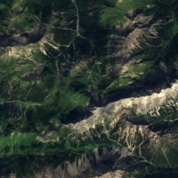
Satellite: Sentinel-2 cloudless 2016 by EOX IT Services GmbH · CC BY 4.0 · Contains modified Copernicus Sentinel data 2016
39 km SW

Kuchenspitze

3,148 m · Verwall Alps
Kuchenspitze
Kuchlspitze
Photo: 32-Fuß-Freak · CC BY-SA 4.0 · Wikimedia CommonsReport this photo · linked, not stored
39 km SW

Kuchlspitze

3,147 m · Verwall Alps
Kuchlspitze
Seeköpfe
Photo: UlrikeAnna · CC BY-SA 3.0 at · Wikimedia CommonsReport this photo · linked, not stored
38 km SW

Seeköpfe

3,061 m · Verwall Alps
Seeköpfe

Heritage

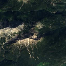
Satellite: Sentinel-2 cloudless 2016 by EOX IT Services GmbH · CC BY 4.0 · Contains modified Copernicus Sentinel data 2016
0.2 km NE

Pfarrkirche Hinterhornbach

Listed objects in Austria · 1764
Pfarrkirche Hinterhornbach
St. Johannes Baptist, Oberstdorf
Photo: Lokilech · CC BY-SA 3.0 · Wikimedia CommonsReport this photo · linked, not stored
15 km W

St. Johannes Baptist, Oberstdorf

architectural heritage monument in Bavaria · 1419
St. Johannes Baptist, Oberstdorf
Sankt Nikolaus, Elbigenalp
Photo: Anna reg · CC BY-SA 3.0 · Wikimedia CommonsReport this photo · linked, not stored
7.8 km S

Sankt Nikolaus, Elbigenalp

Listed objects in Austria
Sankt Nikolaus, Elbigenalp

Museums

Heimatmuseum Oberstdorf
Photo: Hajotthu · CC BY 3.0 · Wikimedia CommonsReport this photo · linked, not stored
15 km W

Heimatmuseum Oberstdorf

Local museum · 1932
Heimatmuseum Oberstdorf
Satellite: Sentinel-2 cloudless 2016 by EOX IT Services GmbH · CC BY 4.0 · Contains modified Copernicus Sentinel data 2016
13 km N

Kutschenmuseum Hinterstein

Kutschenmuseum Hinterstein
Satellite: Sentinel-2 cloudless 2016 by EOX IT Services GmbH · CC BY 4.0 · Contains modified Copernicus Sentinel data 2016
14 km SW

Museum Holzgau

Local museum
Museum Holzgau