Skip to content
Destinations
Weather & climate
Nature
Outdoors
Culture
Events
Sky & live
Sieglseen
Photo: Kauk0r · CC BY-SA 3.0 · Wikimedia Commons
SieglseenReport this photo · linked, not stored
Traualpsee
Photo: Kauk0r · CC BY-SA 3.0 · Wikimedia Commons
TraualpseeReport this photo · linked, not stored
Traualpsee
Täschlefall
Photo: Zinnmann · CC BY-SA 3.0 · Wikimedia Commons
TäschlefallReport this photo · linked, not stored
Täschlefall
Vilsalpsee
Photo: Bernd Haynold · CC BY 2.5 · Wikimedia Commons
VilsalpseeReport this photo · linked, not stored
Vilsalpsee
Hornbach
Photo: Charly Winkler · CC BY-SA 4.0 · Wikimedia Commons
HornbachReport this photo · linked, not stored
Hornbach
LakeVorderhornbach, Tyrol

Sieglseen

LakeBest Jun–Aug
Elevation–above sea level
Area–surface
Nearest townVorderhornbach5.4 km
47.41° N, 10.50° EUTC+2 · Central European Summer Time
When to goVorderhornbach · weather score
JanFebMarAprMayJunJulAugSepOctNovDec44October
Best timeJun–Aug
October: high / low14° / 3°
Lake

Sieglseen in brief

Sieglseen is a lake in Vorderhornbach, Tyrol, Austria.

The nearest town in the atlas is Vorderhornbach, 5.4 km to the SE, where the weather is best in June, July and August.

Vorderhornbach: weather and travel guide

Weather nearby now

Forecast for Vorderhornbach
8°
Sunny now
Wind5 km/h
Humidity45%
Cloud cover3%
Today
22 Oct
9°
-1°
1 mm
Fri
23 Oct
11°
2°
7 mm
Sat
24 Oct
4°
-1°
1 mm
Sun
25 Oct
9°
1°
18 mm
Mon
26 Oct
14°
3°

Model run 00:00 UTCRefreshed several times a day

When to go

The best months around Sieglseen

Climate of Vorderhornbach

Month score in Vorderhornbach

Comfort, dry days and sunshine · out of 100
22
Jan
25
Feb
20
Mar
36
Apr
59
May
63
Jun
65
Jul
65
Aug
62
Sep
44
Oct
25
Nov
21
Dec
Map

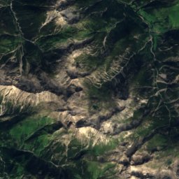
Sieglseen from above

Nature nearbyAll of Austria
Photo: Kauk0r · CC BY-SA 3.0 · Wikimedia CommonsReport this photo · linked, not stored
TraualpseeLake4.6 kmNTraualpsee
Photo: Zinnmann · CC BY-SA 3.0 · Wikimedia CommonsReport this photo · linked, not stored
TäschlefallWaterfall6.0 kmWTäschlefall
Photo: Bernd Haynold · CC BY 2.5 · Wikimedia CommonsReport this photo · linked, not stored
VilsalpseeLake6.1 kmNVilsalpsee
Photo: Charly Winkler · CC BY-SA 4.0 · Wikimedia CommonsReport this photo · linked, not stored
HornbachRiver6.2 kmSEHornbach
Photo: Mountainwilderness · CC BY-SA 4.0 · Wikimedia CommonsReport this photo · linked, not stored
Eisenbreche und Auelesgasse SE von HintersteinWaterfall7.0 kmNWEisenbreche und Auelesgasse SE von Hinterstein
Photo: Rosa-Maria Rinkl · CC BY-SA 4.0 · Wikimedia CommonsReport this photo · linked, not stored
WildfräuleinsteinCave9.1 kmNWWildfräuleinstein
Summits nearbyMountains of Austria
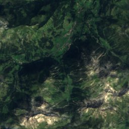
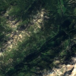
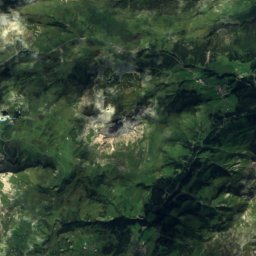
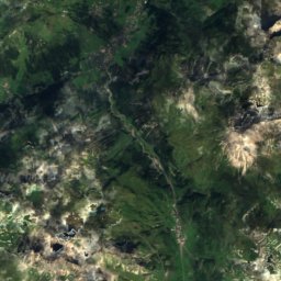
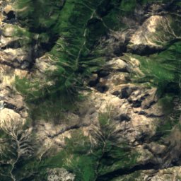
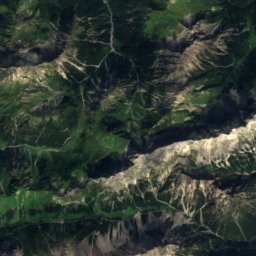
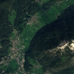
Satellite: Sentinel-2 cloudless 2016 by EOX IT Services GmbH · CC BY 4.0 · Contains modified Copernicus Sentinel data 2016
Wetterspitze24 km SW2,895 mJuly 9°Wetterspitze
Photo: Karl Winkler · CC BY-SA 3.0 · Wikimedia CommonsReport this photo · linked, not stored
Freispitze24 km S2,884 mJuly 13°Freispitze
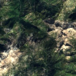
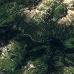
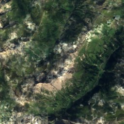
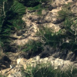
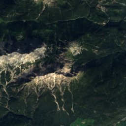
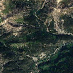
Satellite: Sentinel-2 cloudless 2016 by EOX IT Services GmbH · CC BY 4.0 · Contains modified Copernicus Sentinel data 2016
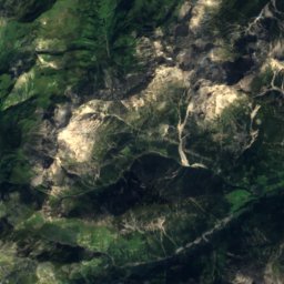
Große Schlenkerspitze20 km SE2,827 mJuly 11°Große Schlenkerspitze
Photo: I, Tubantia · CC BY-SA 3.0 · Wikimedia CommonsReport this photo · linked, not stored
Imster Muttekopf20 km SE2,774 mJuly 9°Imster Muttekopf
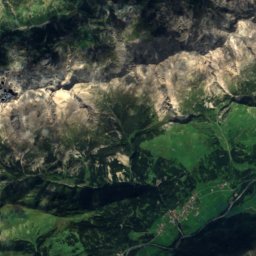
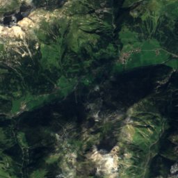
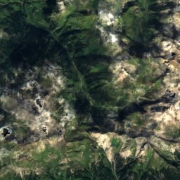
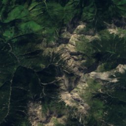
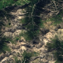
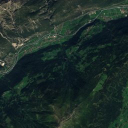
Satellite: Sentinel-2 cloudless 2016 by EOX IT Services GmbH · CC BY 4.0 · Contains modified Copernicus Sentinel data 2016
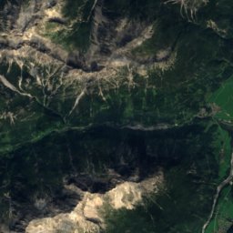
Leiterspitze21 km S2,750 mJuly 10°Leiterspitze
Photo: Karl Haarmann · CC BY-SA 3.0 · Wikimedia CommonsReport this photo · linked, not stored
Dremelspitze21 km S2,733 mJuly 11°Dremelspitze
Stay nearby

Towns close by

Vorderhornbach
Photo: Whgler · CC BY-SA 4.0 · Wikimedia CommonsReport this photo · linked, not stored

Vorderhornbach

Tyrol · 5.4 km SE
14°Oct high
13wet days
44score
Vorderhornbach
Stanzach
Photo: Kauk0r · CC BY-SA 3.0 · Wikimedia CommonsReport this photo · linked, not stored

Stanzach

Tyrol · 6.0 km SE
14°Oct high
13wet days
44score
Stanzach
Hinterhornbach
Photo: Franzfoto · CC BY-SA 3.0 · Wikimedia CommonsReport this photo · linked, not stored

Hinterhornbach

Tyrol · 6.0 km SW
12°Oct high
13wet days
36score
Hinterhornbach
Forchach
Photo: Michielverbeek · CC BY-SA 3.0 at · Wikimedia CommonsReport this photo · linked, not stored

Forchach

Tyrol · 6.7 km E
14°Oct high
13wet days
45score
Forchach
Around here

Vorderhornbach and around

Vorderhornbach
Photo: Whgler · CC BY-SA 4.0 · Wikimedia CommonsReport this photo · linked, not stored

Vorderhornbach

Tyrol · Austria
Jun–Augbest months
23°July high
976 maltitude
Vorderhornbach

Nature

Vilsalpsee
Photo: Bernd Haynold · CC BY 2.5 · Wikimedia CommonsReport this photo · linked, not stored
11 km N

Vilsalpsee

Lake · 1,165 m
Vilsalpsee
Traualpsee
Photo: Kauk0r · CC BY-SA 3.0 · Wikimedia CommonsReport this photo · linked, not stored
8.9 km N

Traualpsee

Lake · 1,631 m
Traualpsee
Rotlech
Photo: Whgler · CC BY 4.0 · Wikimedia CommonsReport this photo · linked, not stored
11 km NE

Rotlech

River
Rotlech

Mountains

Fundusfeiler
Photo: Cactus26 · CC BY 2.5 · Wikimedia CommonsReport this photo · linked, not stored
38 km SE

Fundusfeiler

3,079 m · Geigenkamm
Fundusfeiler
Parseierspitze
Photo: Karl Haarmann · CC BY-SA 3.0 · Wikimedia CommonsReport this photo · linked, not stored
22 km S

Parseierspitze

3,036 m · Lechtal Alps
Parseierspitze
Hexenkopf
Photo: MrIceblock (MrIceblock (talk)) · CC BY-SA 3.0 · Wikimedia CommonsReport this photo · linked, not stored
39 km S

Hexenkopf

3,035 m · Samnaun Alps
Hexenkopf

Heritage

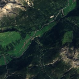
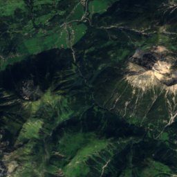
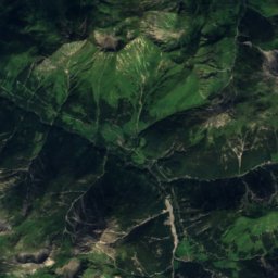
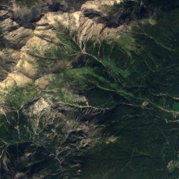
Satellite: Sentinel-2 cloudless 2016 by EOX IT Services GmbH · CC BY 4.0 · Contains modified Copernicus Sentinel data 2016
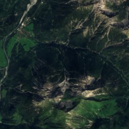
1.2 km S

Saint Joseph Church (Martinau)

Listed objects in Austria · 1708
Saint Joseph Church (Martinau)
Anhalter Hütte
Photo: Knochen · CC BY 3.0 · Wikimedia CommonsReport this photo · linked, not stored
12 km SE

Anhalter Hütte

Listed objects in Austria · 1912
Anhalter Hütte
Pfarrkirche Weißenbach am Lech
Photo: OW (talk) · CC BY 3.0 · Wikimedia CommonsReport this photo · linked, not stored
11 km NE

Pfarrkirche Weißenbach am Lech

Listed objects in Austria · 1734
Pfarrkirche Weißenbach am Lech

Museums

Heimatmuseum Tannheim
Photo: OW (talk) · CC BY 3.0 · Wikimedia CommonsReport this photo · linked, not stored
15 km N

Heimatmuseum Tannheim

Local museum
Heimatmuseum Tannheim
Felixé Mina's Haus
Photo: Gittisch · CC BY-SA 3.0 at · Wikimedia CommonsReport this photo · linked, not stored
14 km N

Felixé Mina's Haus

Felixé Mina's Haus
Satellite: Sentinel-2 cloudless 2016 by EOX IT Services GmbH · CC BY 4.0 · Contains modified Copernicus Sentinel data 2016
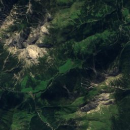
11 km S

Haus Zita

Local museum
Haus Zita