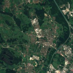
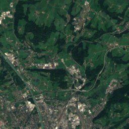
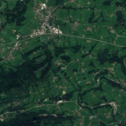
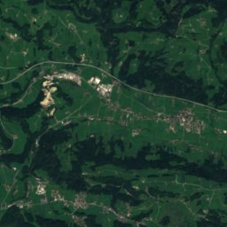
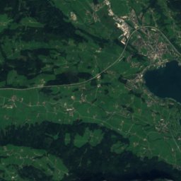
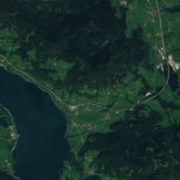
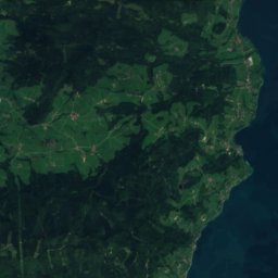
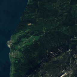
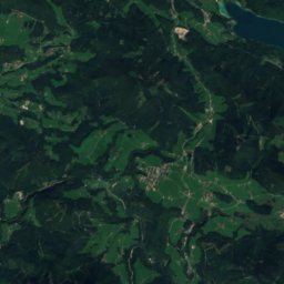
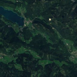
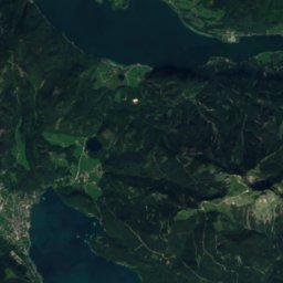
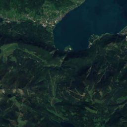
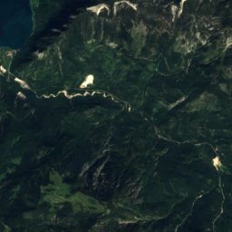
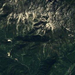
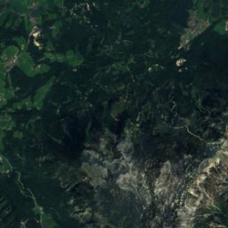
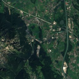
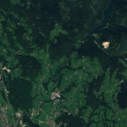
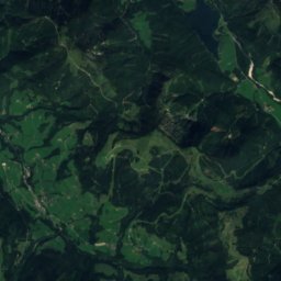
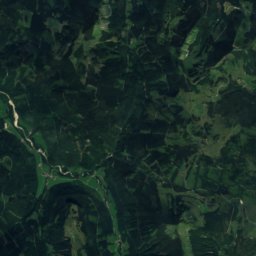
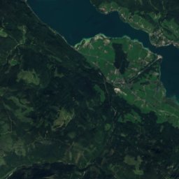
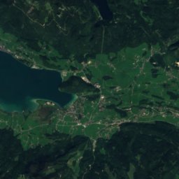
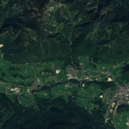
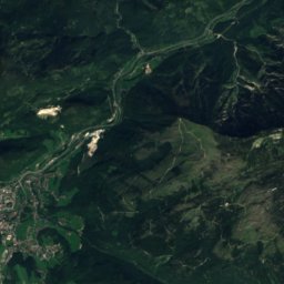
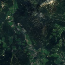
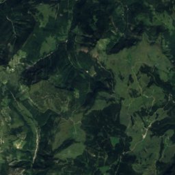
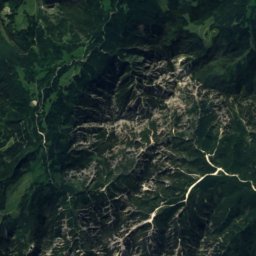
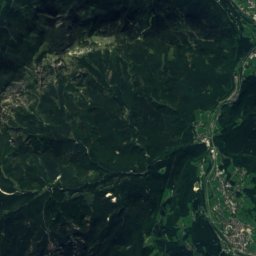
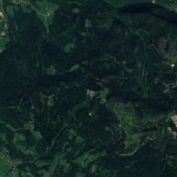
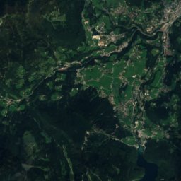
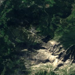
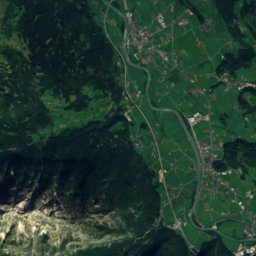
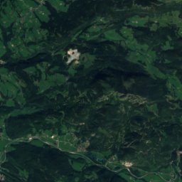
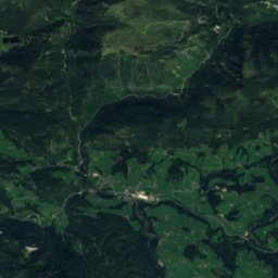
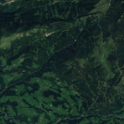
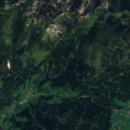
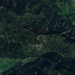
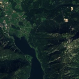
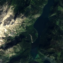
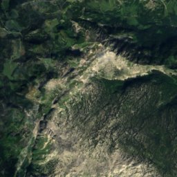
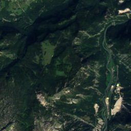
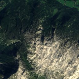
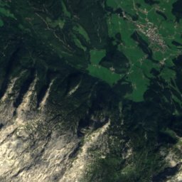
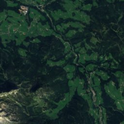
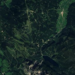
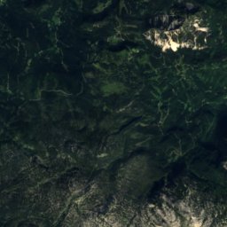
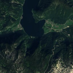
Satellite: Sentinel-2 cloudless 2016 by EOX IT Services GmbH · CC BY 4.0 · Contains modified Copernicus Sentinel data 2016

Photo: C.Stadler/Bwag · CC BY-SA 4.0 · Wikimedia Commons
Hoher DachsteinReport this photo · linked, not stored
Hoher DachsteinHoher DachsteinReport this photo · linked, not stored

Photo: C.Stadler/Bwag · CC BY-SA 4.0 · Wikimedia Commons
Torstein, SalzburgReport this photo · linked, not stored
Torstein, SalzburgTorstein, SalzburgReport this photo · linked, not stored

Photo: Ralph Deleja-Hotko = de:Benutzer:Aerotiker · CC BY-SA 3.0 de · Wikimedia Commons
Niederer DachsteinReport this photo · linked, not stored
Niederer DachsteinNiederer DachsteinReport this photo · linked, not stored

Photo: Own work · CC BY-SA 3.0 · Wikimedia Commons
Unterer EissteinReport this photo · linked, not stored
Unterer EissteinUnterer EissteinReport this photo · linked, not stored
Salzkammergut Mountains · Salzburg · AustriaSummit weather, forecast and climate
Labenberg
1,642 mSnow likely Jan–Mar · Nov–Dec
Elevation1,642 mabove sea level
Prominence–independent height
Isolation2.7 kmto a higher summit
Summit, Jul17°average high
47.65° N, 13.39° EElevation 1,642 mUTC+1 · Central European Standard Time
From the valley to the top
- Summit1,642 m
- Mid-mountain1,220 m
- Valley · Rußbach am Paß Gschütt800 m
Freezing level in October: above the summit
iThe mountain
Labenberg in brief
Labenberg rises to 1,642 m in the Salzkammergut Mountains, Salzburg, Austria.
At the summit, July is the mildest month with average highs of 17°, while nights fall below freezing in 6 months of the year. Daytime highs climb above zero from March to December.
The nearest town is Rußbach am Paß Gschütt, 8.1 km to the SE at 800 m.
iiForecast
Weather at three heights
Temperatures are adjusted to each height; summits are usually colder and windier than the valley forecast suggests.
Loading the latest forecast…
Loading the latest forecast…
Loading the latest forecast…
iiiSummit climate
The top of Labenberg by month
Summit temperatures and precipitation
Climate normals for the summit area (~1 km grid), station-adjusted| Month | Jan | Feb | Mar | Apr | May | Jun | Jul | Aug | Sep | Oct | Nov | Dec |
|---|---|---|---|---|---|---|---|---|---|---|---|---|
| Average high | 0° | 0° | 3° | 7° | 12° | 15° | 17° | 17° | 13° | 9° | 4° | 0° |
| Average low | -7° | -7° | -4° | -1° | 3° | 7° | 9° | 9° | 5° | 2° | -3° | -6° |
| Precipitation | 136 mm | 124 mm | 176 mm | 133 mm | 181 mm | 248 mm | 296 mm | 272 mm | 200 mm | 134 mm | 145 mm | 150 mm |
| Cloud cover | 49% | 52% | 55% | 49% | 47% | 48% | 43% | 43% | 48% | 47% | 54% | 53% |
| Daylight | 8h 51 | 10h 16 | 11h 50 | 13h 37 | 15h 07 | 15h 58 | 15h 37 | 14h 19 | 12h 37 | 10h 55 | 9h 20 | 8h 27 |
| Month score | 17 | 16 | 15 | 17 | 27 | 44 | 55 | 54 | 31 | 18 | 15 | 15 |
Snow and freezing level
Average height of the 0 °C level from the summit normals (6.5 °C per km); snow months have a summit mean at or below +1 °C| Month | Jan | Feb | Mar | Apr | May | Jun | Jul | Aug | Sep | Oct | Nov | Dec |
|---|---|---|---|---|---|---|---|---|---|---|---|---|
| Freezing level | 1,050 m | 1,100 m | 1,550 m | 2,100 m | 2,800 m | 3,350 m | 3,600 m | 3,600 m | 3,000 m | 2,500 m | 1,750 m | 1,200 m |
| Summit | ❄ snow | ❄ snow | ❄ snow | above 0 °C | above 0 °C | above 0 °C | above 0 °C | above 0 °C | above 0 °C | above 0 °C | ❄ snow | ❄ snow |
ivTerrain
Labenberg in 3D
vNeighbours
Mountains of AustriaPeaks nearby
| Mountain | Elevation | Prominence | Distance | July summit high |
|---|---|---|---|---|
| Hoher Dachstein | 2,995 m | 2,136 m | 25 km SE | 7° |
| Torstein, Salzburg | 2,948 m | – | 24 km SE | 11° |
| Niederer Dachstein | 2,934 m | – | 24 km SE | 7° |
| Mitterspitz | 2,925 m | – | 24 km SE | 8° |
| Hohes Kreuz, Styria | 2,837 m | – | 23 km SE | 8° |
| Oberer Eisstein | 2,682 m | – | 25 km SE | 9° |
| Unterer Eisstein | 2,654 m | – | 25 km SE | 10° |
| Niederes Kreuz | 2,651 m | – | 23 km SE | 10° |
viBase towns
Where to stay nearby

Photo: Gunnar Richter Namenlos.net · CC BY-SA 3.0 · Wikimedia CommonsReport this photo · linked, not stored
Abtenau
Salzburg · 9.8 km S
14°Oct high
13wet days
44score

Photo: Arne Müseler / www.arne-mueseler.com · CC BY-SA 3.0 de · Wikimedia CommonsReport this photo · linked, not stored
Hintersee
Salzburg · 10 km NW
12°Oct high
13wet days
34score

Around here
Rußbach am Paß Gschütt and around

Rußbach am Paß Gschütt
Salzburg · Austria
Jul–Sepbest months
23°July high
800 maltitude
Nature


Photo: Hejkal at de.wikipedia · CC BY-SA 3.0 de · Wikimedia CommonsReport this photo · linked, not stored
Gablonzer Hütte
Mountain hut · 1,522 m
Mountains

Heritage


Hallstatt-Dachstein Salzkammergut cultural landscape
World Heritage Site
Museums
Satellite: Sentinel-2 cloudless 2016 by EOX IT Services GmbH · CC BY 4.0 · Contains modified Copernicus Sentinel data 2016
Fossilienkabinett "Steinreich"

Photo: Gunnar Richter Namenlos.net · CC BY 3.0 · Wikimedia CommonsReport this photo · linked, not stored
Hallstatt Museum
1884


