
Photo: Auxi84 · CC BY-SA 3.0 · Wikimedia Commons
Previsora TowerReport this photo · linked, not stored
Previsora TowerReport this photo · linked, not stored
 Abra Solar

Photo: Unknown author · CC BY-SA 2.5 · Wikimedia Commons
University City of CaracasReport this photo · linked, not stored
University City of CaracasUniversity City of CaracasReport this photo · linked, not stored

Photo: Auxi84 · CC BY-SA 3.0 · Wikimedia Commons
Plaza de Las Tres GraciasReport this photo · linked, not stored
Plaza de Las Tres GraciasPlaza de Las Tres GraciasReport this photo · linked, not stored

Photo: José Gregorio Ferrer · CC BY-SA 3.0 · Wikimedia Commons
Teresa Carreño Cultural ComplexReport this photo · linked, not stored
Teresa Carreño Cultural ComplexTeresa Carreño Cultural ComplexReport this photo · linked, not stored
tower blockEl Recreo, Distrito Federal
Previsora Tower
National historical monument of VenezuelaBuilt 1973
Typetower block
Built1973
Best monthsJan–Marweather in El Recreo
10.50° N, 66.88° WUTC−4 · Venezuela Time
Standing for53 years
built 1973today 2026
When to goEl Recreo · weather score
Best timeJan–Mar
October: high / low27° / 20°
iAbout
Previsora Tower in brief
Previsora Tower is a tower block in El Recreo, Distrito Federal, Venezuela.
It holds the designation National historical monument of Venezuela.
The tower block dates from 1973.
For a visit, the weather in El Recreo is best in January, February and March; in October afternoons average 27°.
Facts
- Type
- tower block
- Designation
- National historical monument of Venezuela
- Built
- 1973
- Nearest town
- El Recreo
- Region
- Distrito Federal
- Coordinates
- 10.49640, -66.88130
iiLocation
Where to find it
iiiWhen to visit
Climate guideWeather in El Recreo
Month score for sightseeing
Best Jan–Mar84
Jan
88
Feb
85
Mar
81
Apr
76
May
71
Jun
75
Jul
78
Aug
74
Sep
69
Oct
73
Nov
82
Dec
ivNearby
All monuments in VenezuelaMore heritage close by
Satellite: Sentinel-2 cloudless 2016 by EOX IT Services GmbH · CC BY 4.0 · Contains modified Copernicus Sentinel data 2016
Metro Plaza Venezuela
under 100 m S
National historical monument of Venezuela
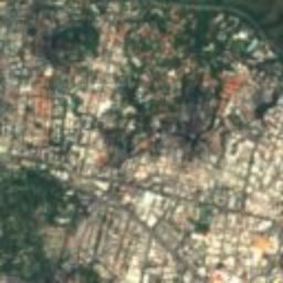
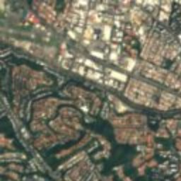
Satellite: Sentinel-2 cloudless 2016 by EOX IT Services GmbH · CC BY 4.0 · Contains modified Copernicus Sentinel data 2016
Boulevard of Sabana Grande
1.1 km SE
National historical monument of Venezuela
Plaza de Las Tres Gracias
1.3 km SW
National historical monument of Venezuela
Photo: José Gregorio Ferrer · CC BY-SA 3.0 · Wikimedia CommonsReport this photo · linked, not stored
Teresa Carreño Cultural Complex
1.8 km W
National historical monument of Venezuela
Around here
El Recreo and around

Nature

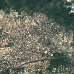
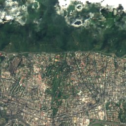
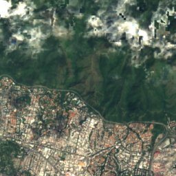
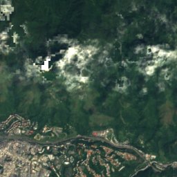
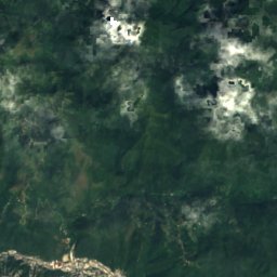
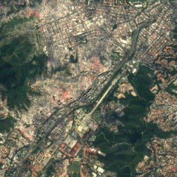
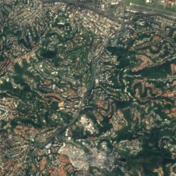
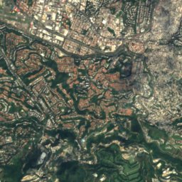
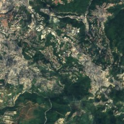
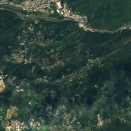
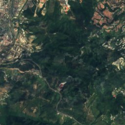
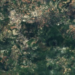
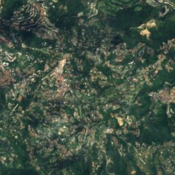
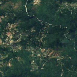
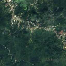
Satellite: Sentinel-2 cloudless 2016 by EOX IT Services GmbH · CC BY 4.0 · Contains modified Copernicus Sentinel data 2016
Quebrada La Guairita
River
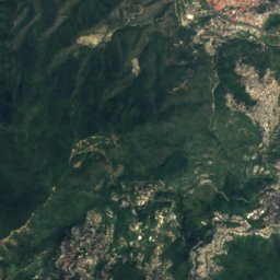
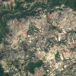
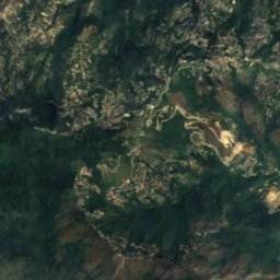
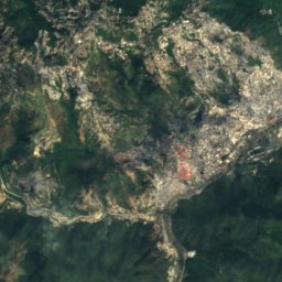
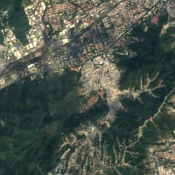
Satellite: Sentinel-2 cloudless 2016 by EOX IT Services GmbH · CC BY 4.0 · Contains modified Copernicus Sentinel data 2016
Guaire River
River
Mountains





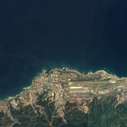
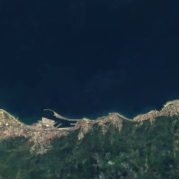
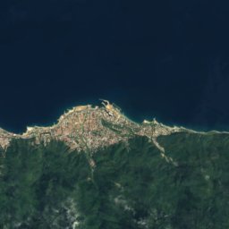
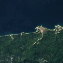
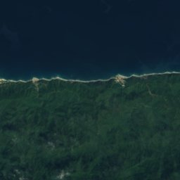
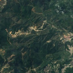
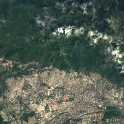
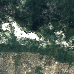
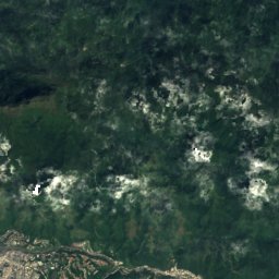
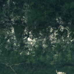
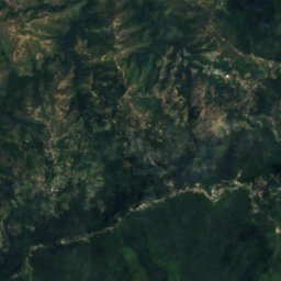
Satellite: Sentinel-2 cloudless 2016 by EOX IT Services GmbH · CC BY 4.0 · Contains modified Copernicus Sentinel data 2016
Pico Naiguatá
2,765 m · Venezuelan Coastal Range
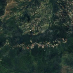
Satellite: Sentinel-2 cloudless 2016 by EOX IT Services GmbH · CC BY 4.0 · Contains modified Copernicus Sentinel data 2016
Topo Galindo
2,579 m
Satellite: Sentinel-2 cloudless 2016 by EOX IT Services GmbH · CC BY 4.0 · Contains modified Copernicus Sentinel data 2016
Pico Oriental
2,548 m
Heritage
Photo: José Gregorio Ferrer · CC BY-SA 3.0 · Wikimedia CommonsReport this photo · linked, not stored
Teresa Carreño Cultural Complex
National historical monument of Venezuela


