


Skip to content
Destinations
Weather & climate
Nature
Outdoors
Culture
Events
Sky & live
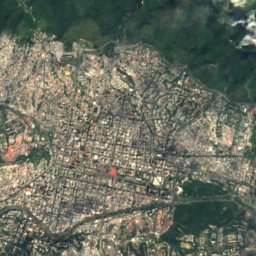
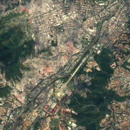
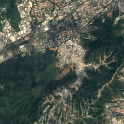
Satellite: Sentinel-2 cloudless 2016 by EOX IT Services GmbH · CC BY 4.0 · Contains modified Copernicus Sentinel data 2016
Torre Europa
Photo: Auxi84 · CC BY-SA 3.0 · Wikimedia Commons
Torre EuropaReport this photo · linked, not stored
Torre Europa
Previsora Tower
Photo: Auxi84 · CC BY-SA 3.0 · Wikimedia Commons
Previsora TowerReport this photo · linked, not stored
Previsora Tower
Plaza de Las Tres Gracias
Photo: Auxi84 · CC BY-SA 3.0 · Wikimedia Commons
Plaza de Las Tres GraciasReport this photo · linked, not stored
Plaza de Las Tres Gracias
Abra Solar
Photo: Auxi84 · CC BY-SA 3.0 · Wikimedia Commons
Abra SolarReport this photo · linked, not stored
Abra Solar
cultural propertyCaracas, Distrito Federal

Boulevard of Sabana Grande

National historical monument of VenezuelaBuilt 1983
Typecultural property
Built1983
Best monthsFeb–Mar · Decweather in Caracas
10.49° N, 66.87° WUTC−4 · Venezuela Time
Standing for43 years
built 1983today 2026
When to goCaracas · weather score
JanFebMarAprMayJunJulAugSepOctNovDec68October
Best timeFeb–Mar · Dec
October: high / low27° / 20°
iAbout

Boulevard of Sabana Grande in brief

Boulevard of Sabana Grande is a cultural property in Caracas, Distrito Federal, Venezuela.

It holds the designation National historical monument of Venezuela.

The cultural property dates from 1983.

For a visit, the weather in Caracas is best in February, March and December; in October afternoons average 27°.

Caracas: weather and travel guide

Facts

Type
cultural property
Designation
National historical monument of Venezuela
Built
1983
Nearest town
Caracas
Region
Distrito Federal
Coordinates
10.48927, -66.87371
iiLocation

Where to find it

iiiWhen to visit

Weather in Caracas

Climate guide

Month score for sightseeing

Best Feb–Mar · Dec
ivNearby

More heritage close by

All monuments in Venezuela
Torre Europa
Photo: Auxi84 · CC BY-SA 3.0 · Wikimedia CommonsReport this photo · linked, not stored

Torre Europa

1.1 km E
National historical monument of Venezuela
Torre Europa
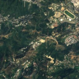
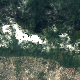
Satellite: Sentinel-2 cloudless 2016 by EOX IT Services GmbH · CC BY 4.0 · Contains modified Copernicus Sentinel data 2016

Metro Plaza Venezuela

1.1 km NW
National historical monument of Venezuela
Metro Plaza Venezuela
Previsora Tower
Photo: Auxi84 · CC BY-SA 3.0 · Wikimedia CommonsReport this photo · linked, not stored

Previsora Tower

1.1 km NW
National historical monument of Venezuela
Previsora Tower
Plaza de Las Tres Gracias
Photo: Auxi84 · CC BY-SA 3.0 · Wikimedia CommonsReport this photo · linked, not stored

Plaza de Las Tres Gracias

1.7 km W
National historical monument of Venezuela
Plaza de Las Tres Gracias
Abra Solar
Photo: Auxi84 · CC BY-SA 3.0 · Wikimedia CommonsReport this photo · linked, not stored

Abra Solar

1.7 km NW
National historical monument of Venezuela
Abra Solar
University City of Caracas
Photo: Unknown author · CC BY-SA 2.5 · Wikimedia CommonsReport this photo · linked, not stored

University City of Caracas

1.9 km W
World Heritage Site
University City of Caracas
Around here

Caracas and around

Caracas
Photo: Olga Berrios · CC BY 2.0 · Wikimedia CommonsReport this photo · linked, not stored

Caracas

Distrito Federal · Venezuela
Feb–Mar · Decbest months
26°July high
887 maltitude
Caracas

Nature

El Avila National park
Photo: JunCTionS · CC BY 2.0 · Wikimedia CommonsReport this photo · linked, not stored
5.2 km N

El Avila National park

National park · 2,765 m
El Avila National park
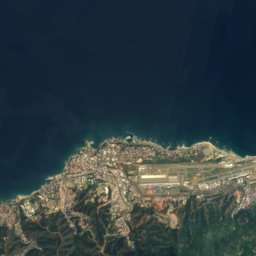
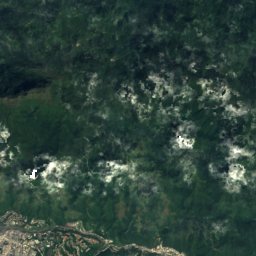
Satellite: Sentinel-2 cloudless 2016 by EOX IT Services GmbH · CC BY 4.0 · Contains modified Copernicus Sentinel data 2016
8.7 km SE

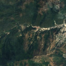
Quebrada La Guairita

River
Quebrada La Guairita
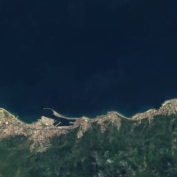
Satellite: Sentinel-2 cloudless 2016 by EOX IT Services GmbH · CC BY 4.0 · Contains modified Copernicus Sentinel data 2016
16 km SW

Guaire River

River
Guaire River

Mountains

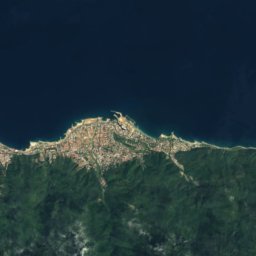
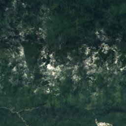
Satellite: Sentinel-2 cloudless 2016 by EOX IT Services GmbH · CC BY 4.0 · Contains modified Copernicus Sentinel data 2016
12 km NE

Pico Naiguatá

2,765 m · Venezuelan Coastal Range
Pico Naiguatá
Satellite: Sentinel-2 cloudless 2016 by EOX IT Services GmbH · CC BY 4.0 · Contains modified Copernicus Sentinel data 2016
11 km NE

Topo Galindo

2,579 m
Topo Galindo
Satellite: Sentinel-2 cloudless 2016 by EOX IT Services GmbH · CC BY 4.0 · Contains modified Copernicus Sentinel data 2016
7.1 km NE

Pico Oriental

2,548 m
Pico Oriental

Heritage

University City of Caracas
Photo: Unknown author · CC BY-SA 2.5 · Wikimedia CommonsReport this photo · linked, not stored
1.3 km W

University City of Caracas

World Heritage Site
University City of Caracas
Teresa Carreño Cultural Complex
Photo: José Gregorio Ferrer · CC BY-SA 3.0 · Wikimedia CommonsReport this photo · linked, not stored
2.4 km NW

Teresa Carreño Cultural Complex

National historical monument of Venezuela
Teresa Carreño Cultural Complex
Previsora Tower
Photo: Auxi84 · CC BY-SA 3.0 · Wikimedia CommonsReport this photo · linked, not stored
1.0 km N

Previsora Tower

National historical monument of Venezuela · 1973
Previsora Tower

Museums

National Art Gallery
Photo: Wilfredor · CC0 · Wikimedia CommonsReport this photo · linked, not stored
2.9 km NW

National Art Gallery

Art museum · 1974
National Art Gallery
Caracas Museum of Fine Arts
Photo: Wilfredor · CC0 · Wikimedia CommonsReport this photo · linked, not stored
2.4 km NW

Caracas Museum of Fine Arts

Art museum · 1917
Caracas Museum of Fine Arts
Contemporary Art Museum of Caracas
Photo: Bobjgalindo · CC BY-SA 4.0 · Wikimedia CommonsReport this photo · linked, not stored
2.5 km NW

Contemporary Art Museum of Caracas

Art museum · 1973
Contemporary Art Museum of Caracas