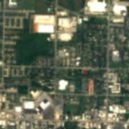
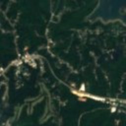





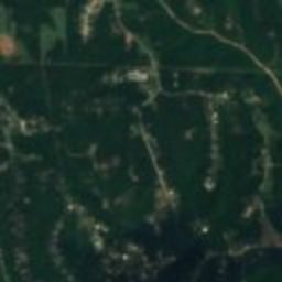

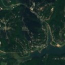


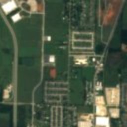


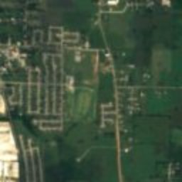
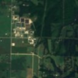

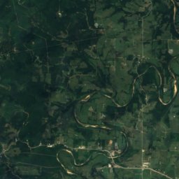
Satellite: Sentinel-2 cloudless 2016 by EOX IT Services GmbH · CC BY 4.0 · Contains modified Copernicus Sentinel data 2016
barnPrairie Creek, Arkansas
Stack Barn
National Register of Historic Places listed place
Typebarn
Built–
Best monthsApr · Sep–Octweather in Prairie Creek
36.29° N, 94.05° WUTC−5 · Central Daylight Time
When to goPrairie Creek · weather score
Best timeApr · Sep–Oct
October: high / low71° / 47°
iAbout
Stack Barn in brief
Stack Barn is a barn in Prairie Creek, Arkansas, United States.
It holds the designation National Register of Historic Places listed place.
For a visit, the weather in Prairie Creek is best in April, September and October; in October afternoons average 71°.
Facts
- Type
- barn
- Designation
- National Register of Historic Places listed place
- Nearest town
- Prairie Creek
- Region
- Arkansas
- Coordinates
- 36.29389, -94.04917
iiLocation
Where to find it
iiiWhen to visit
Climate guideWeather in Prairie Creek
Month score for sightseeing
Best Apr · Sep–Oct39
Jan
40
Feb
56
Mar
71
Apr
63
May
51
Jun
40
Jul
41
Aug
69
Sep
75
Oct
61
Nov
36
Dec
ivNearby
All monuments in the United StatesMore heritage close by
Around here
Prairie Creek and around

Prairie Creek
Arkansas · United States
Apr · Sep–Octbest months
89°July high
1,404 ftaltitude
Nature


Photo: Doug Wertman from Rogers, AR, USA · CC BY 2.0 · Wikimedia CommonsReport this photo · linked, not stored
Beaver Lake, Arkansas
Lake · 1,129 ft

Mountains
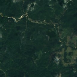
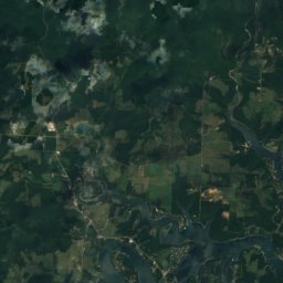
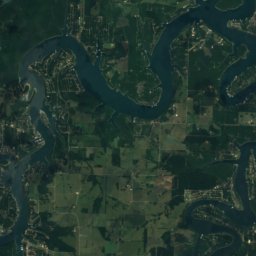
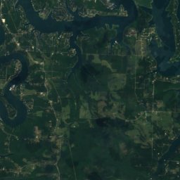
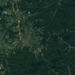
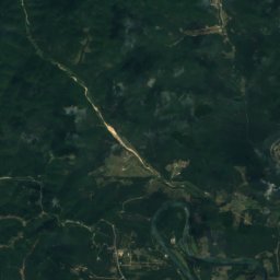
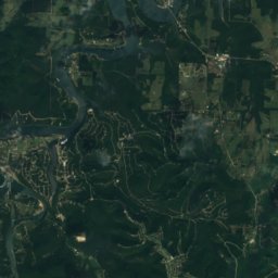
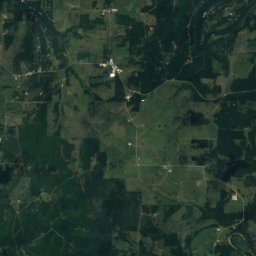
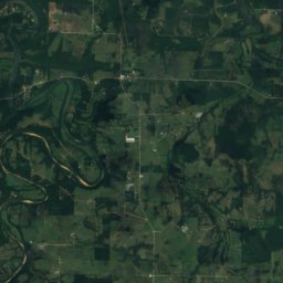
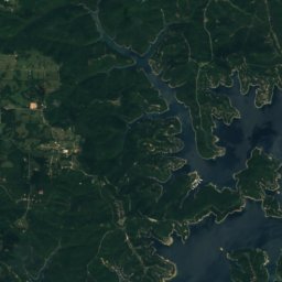
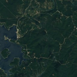
Satellite: Sentinel-2 cloudless 2016 by EOX IT Services GmbH · CC BY 4.0 · Contains modified Copernicus Sentinel data 2016
Huckleberry Point
1,407 ft · Boston Mountains
Heritage

Benton County Courthouse, Bentonville
National Register of Historic Places listed place · 1928

Old High Middle School
National Register of Historic Places listed place

Lane Hotel, Rogers
National Register of Historic Places contributing property
Museums

Crystal Bridges Museum of American Art
Art museum · 2011


Pea Ridge National Military Park Visitor Center
National Park Service visitor center