
Zum Inhalt springen
Reiseziele
Wetter & Klima
Natur
Outdoor
Kultur
Veranstaltungen
Himmel & live
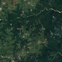
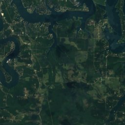
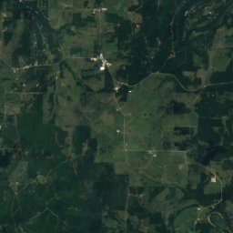
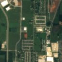
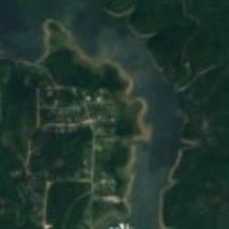
Satellit: Sentinel-2 cloudless 2016 by EOX IT Services GmbH · CC BY 4.0 · Contains modified Copernicus Sentinel data 2016
ScheunePrairie Creek, Arkansas

Stack Barn

Eintrag im National Register of Historic Places
ArtScheune
Erbaut–
Beste MonateApr. · Sep.–Okt.Wetter in Prairie Creek
36,29° N, 94,05° WUTC−5 · Nordamerikanische Zentral-Sommerzeit
ReisezeitPrairie Creek · Wetterwertung
Jan.Feb.MärzApr.MaiJuniJuliAug.Sep.Okt.Nov.Dez.75Oktober
Beste ZeitApr. · Sep.–Okt.
Oktober: Max. / Min.22° / 8°
iÜber das Denkmal

Stack Barn in Kürze

Stack Barn – Scheune in Prairie Creek, Arkansas, USA.

Ausgewiesen als Eintrag im National Register of Historic Places.

Für einen Besuch ist das Wetter in Prairie Creek im April, September und Oktober am besten; im Oktober liegen die Nachmittagswerte im Mittel bei 22°.

Prairie Creek: Wetter und Reiseklima

Fakten

Art
Scheune
Schutzstatus
Eintrag im National Register of Historic Places
Nächster Ort
Prairie Creek
Region
Arkansas
Koordinaten
36,29389; -94,04917
iiLage

Wo es zu finden ist

iiiReisezeit

Wetter in Prairie Creek

Klimaführer

Monats-Score für Besichtigungen

Am besten Apr. · Sep.–Okt.
39
Jan.
40
Feb.
56
März
71
Apr.
63
Mai
51
Juni
40
Juli
41
Aug.
69
Sep.
75
Okt.
61
Nov.
36
Dez.
ivIn der Nähe

Weitere Denkmäler ganz in der Nähe

Alle Denkmäler in den USA
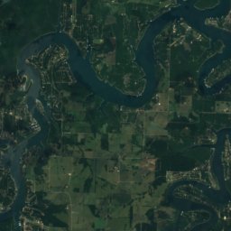
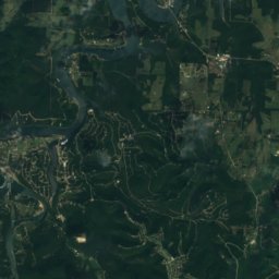
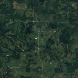
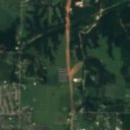
Satellit: Sentinel-2 cloudless 2016 by EOX IT Services GmbH · CC BY 4.0 · Contains modified Copernicus Sentinel data 2016

Monte Ne

1,9 km W
Eintrag im National Register of Historic Places
Monte Ne
In der Umgebung

Prairie Creek und Umgebung

Prairie Creek
Foto: Traveler7 · CC BY-SA 3.0 · Wikimedia CommonsFoto melden · verlinkt, nicht gespeichert

Prairie Creek

Arkansas · USA
Apr. · Sep.–Okt.beste Monate
32°max. im Juli
428 mHöhe
Prairie Creek

Natur

Lake Atalanta
Foto: Alfredo Carrillo · CC BY 2.0 · Wikimedia CommonsFoto melden · verlinkt, nicht gespeichert
3,3 km W

Lake Atalanta

See
Lake Atalanta
Beaver Lake, Busch
Foto: Doug Wertman from Rogers, AR, USA · CC BY 2.0 · Wikimedia CommonsFoto melden · verlinkt, nicht gespeichert
21 km NO

Beaver Lake, Busch

See · 344 m
Beaver Lake, Busch
Tanyard Creek, Arkansas
Foto: Natalieshort · CC BY-SA 4.0 · Wikimedia CommonsFoto melden · verlinkt, nicht gespeichert
23 km NW

Tanyard Creek, Arkansas

Fluss
Tanyard Creek, Arkansas

Berge

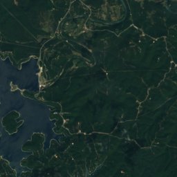
Satellit: Sentinel-2 cloudless 2016 by EOX IT Services GmbH · CC BY 4.0 · Contains modified Copernicus Sentinel data 2016
36 km NO

Huckleberry Point

429 m
Huckleberry Point

Denkmäler

Benton County Courthouse, Bentonville
Foto: Brandonrush · CC BY-SA 3.0 · Wikimedia CommonsFoto melden · verlinkt, nicht gespeichert
13 km W

Benton County Courthouse, Bentonville

Eintrag im National Register of Historic Places · 1928
Benton County Courthouse, Bentonville
Old High Middle School
Foto: Milesdap · CC BY-SA 3.0 · Wikimedia CommonsFoto melden · verlinkt, nicht gespeichert
14 km W

Old High Middle School

Eintrag im National Register of Historic Places
Old High Middle School
Lane Hotel, Rogers
Foto: Valis55 · CC BY-SA 3.0 · Wikimedia CommonsFoto melden · verlinkt, nicht gespeichert
5,1 km W

Lane Hotel, Rogers

Contributing Property
Lane Hotel, Rogers

Museen

Crystal Bridges Museum of American Art
Foto: Charvex · CC0 · Wikimedia CommonsFoto melden · verlinkt, nicht gespeichert
13 km W

Crystal Bridges Museum of American Art

Kunstmuseum · 2011
Crystal Bridges Museum of American Art
Scott Family Amazeum
Foto: Amazeum · CC BY-SA 4.0 · Wikimedia CommonsFoto melden · verlinkt, nicht gespeichert
13 km W

Scott Family Amazeum

Kindermuseum · 2015
Scott Family Amazeum
Pea Ridge National Military Park Visitor Center
Foto: pwnorv · CC BY-SA 3.0 · Wikimedia CommonsFoto melden · verlinkt, nicht gespeichert
12 km N

Pea Ridge National Military Park Visitor Center

Pea Ridge National Military Park Visitor Center