
ghost townRuby, Arizona
Ruby
National Register of Historic Places listed place
Typeghost town
Built–
Best monthsMar–Apr · Novweather in Ruby
31.46° N, 111.24° WUTC−7 · Mountain Standard Time
When to goRuby · weather score
Best timeMar–Apr · Nov
October: high / low80° / 48°
iAbout
Ruby in brief
Ruby is a ghost town in Ruby, Arizona, United States.
It holds the designation National Register of Historic Places listed place.
For a visit, the weather in Ruby is best in March, April and November; in October afternoons average 80°.
iiLocation
Where to find it
iiiWhen to visit
Climate guideWeather in Ruby
Month score for sightseeing
Best Mar–Apr · Nov87
Jan
91
Feb
95
Mar
97
Apr
80
May
54
Jun
31
Jul
36
Aug
55
Sep
85
Oct
95
Nov
83
Dec
Around here
Ruby and around

Nature
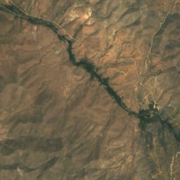
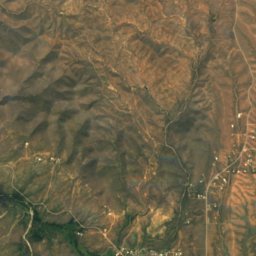
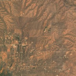
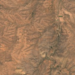
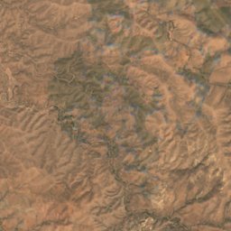
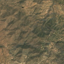
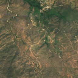
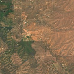
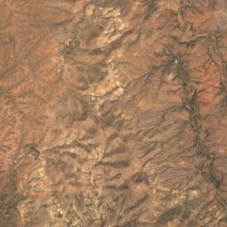
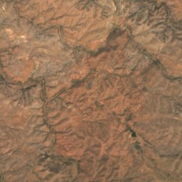
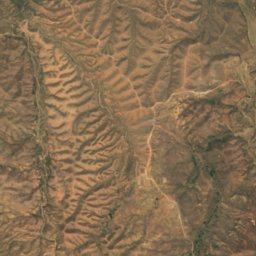
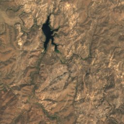
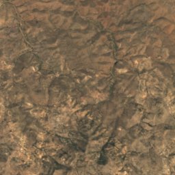
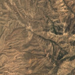
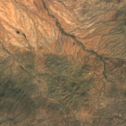
Satellite: Sentinel-2 cloudless 2016 by EOX IT Services GmbH · CC BY 4.0 · Contains modified Copernicus Sentinel data 2016
Arivaca Lake
Lake · 3,822 ft
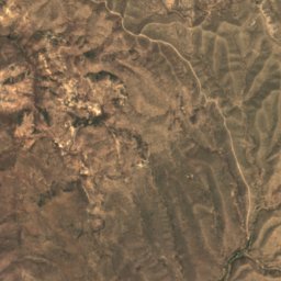
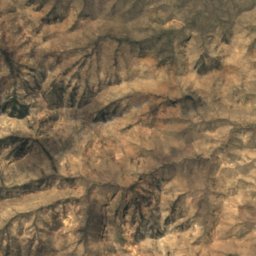
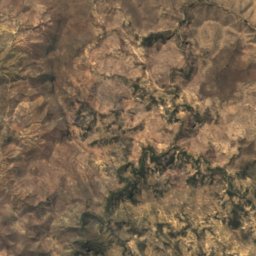
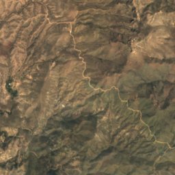
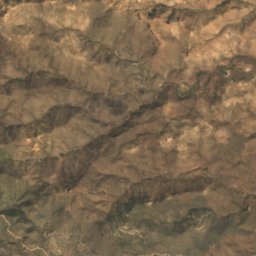
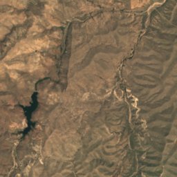
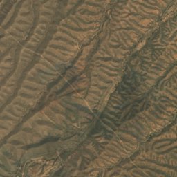
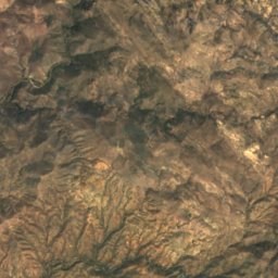
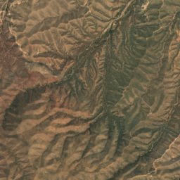
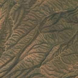
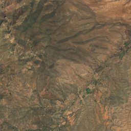
Satellite: Sentinel-2 cloudless 2016 by EOX IT Services GmbH · CC BY 4.0 · Contains modified Copernicus Sentinel data 2016
Peña Blanca Lake
Lake · 3,848 ft
Mountains
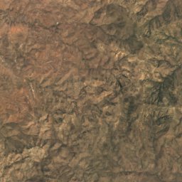
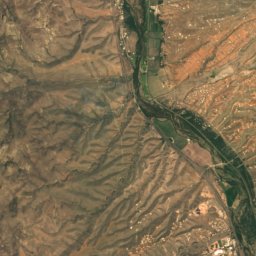
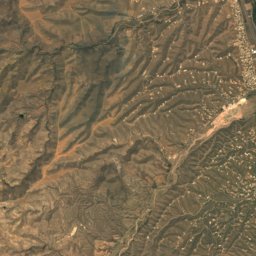
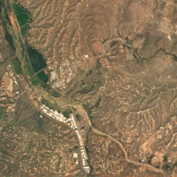
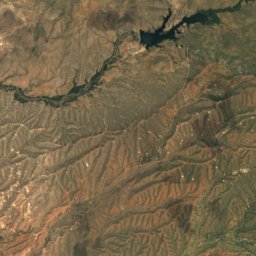
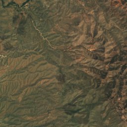
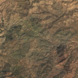
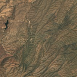
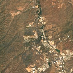
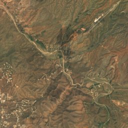
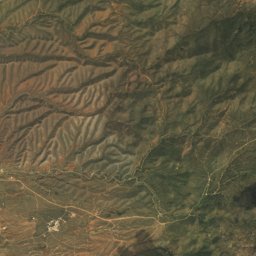
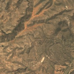
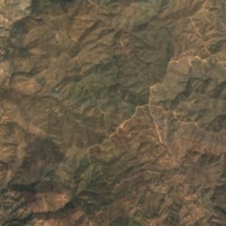
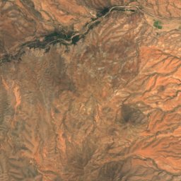
Satellite: Sentinel-2 cloudless 2016 by EOX IT Services GmbH · CC BY 4.0 · Contains modified Copernicus Sentinel data 2016
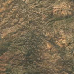
Mount Benedict
4,560 ft
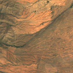
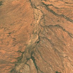
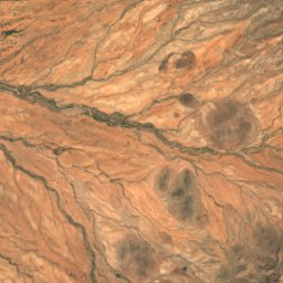
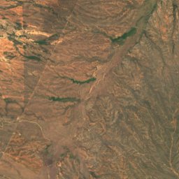
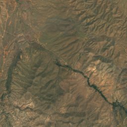
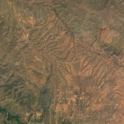
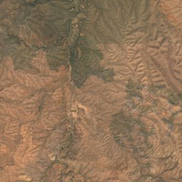
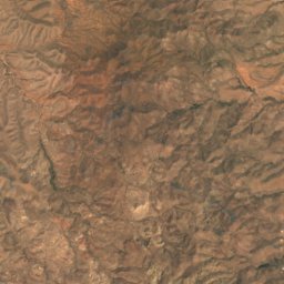
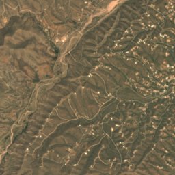
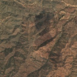
Satellite: Sentinel-2 cloudless 2016 by EOX IT Services GmbH · CC BY 4.0 · Contains modified Copernicus Sentinel data 2016
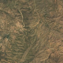
Cerro Colorado
4,200 ft
Heritage













Satellite: Sentinel-2 cloudless 2016 by EOX IT Services GmbH · CC BY 4.0 · Contains modified Copernicus Sentinel data 2016
Atascosa Lookout House
National Register of Historic Places listed place · 1933