
Foto: PhilipC at Flickr · CC BY 2.0 · Wikimedia Commons
RubyFoto melden · verlinkt, nicht gespeichert
RubyFoto melden · verlinkt, nicht gespeichert
GeisterstadtRuby, Arizona
Ruby
Eintrag im National Register of Historic Places
ArtGeisterstadt
Erbaut–
Beste MonateMärz–Apr. · Nov.Wetter in Ruby
31,46° N, 111,24° WUTC−7 · Rocky-Mountains-Normalzeit
ReisezeitRuby · Wetterwertung
Beste ZeitMärz–Apr. · Nov.
Oktober: Max. / Min.27° / 9°
iÜber das Denkmal
Ruby in Kürze
Ruby – Geisterstadt in Ruby, Arizona, USA.
Ausgewiesen als Eintrag im National Register of Historic Places.
Für einen Besuch ist das Wetter in Ruby im März, April und November am besten; im Oktober liegen die Nachmittagswerte im Mittel bei 27°.
iiLage
Wo es zu finden ist
iiiReisezeit
KlimaführerWetter in Ruby
Monats-Score für Besichtigungen
Am besten März–Apr. · Nov.87
Jan.
91
Feb.
95
März
97
Apr.
80
Mai
54
Juni
31
Juli
36
Aug.
55
Sep.
85
Okt.
95
Nov.
83
Dez.
In der Umgebung
Ruby und Umgebung

Natur
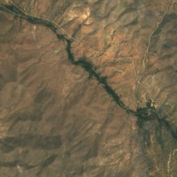
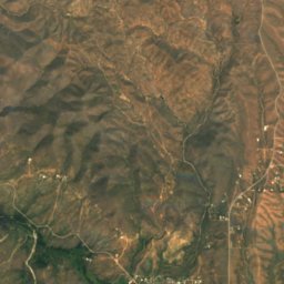
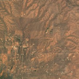
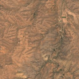
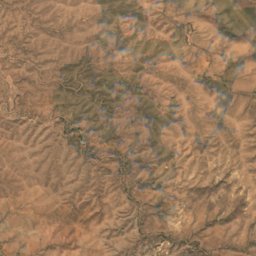
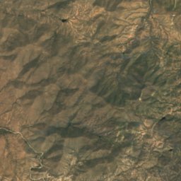
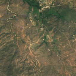
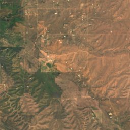
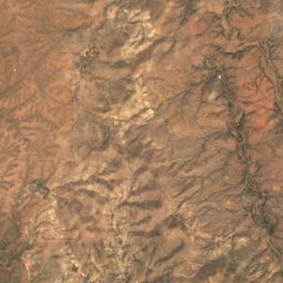
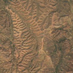
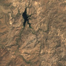
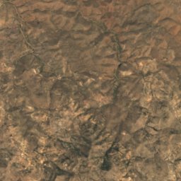
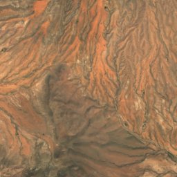
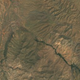
Satellit: Sentinel-2 cloudless 2016 by EOX IT Services GmbH · CC BY 4.0 · Contains modified Copernicus Sentinel data 2016
Arivaca Lake
See · 1.165 m
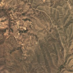
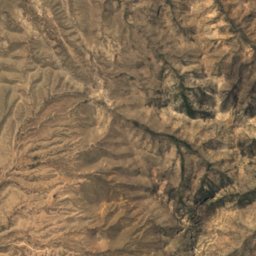
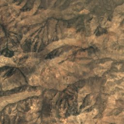
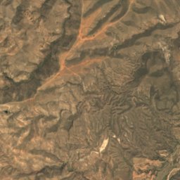
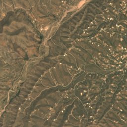
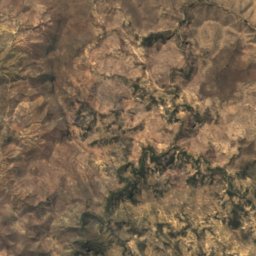
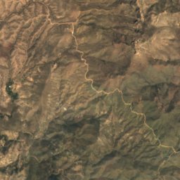
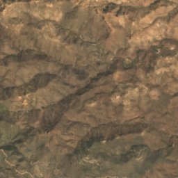
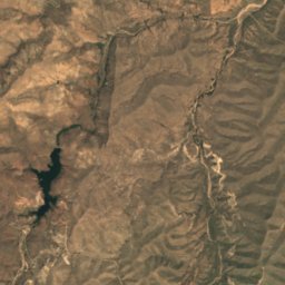
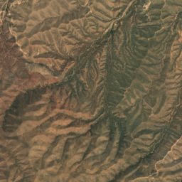
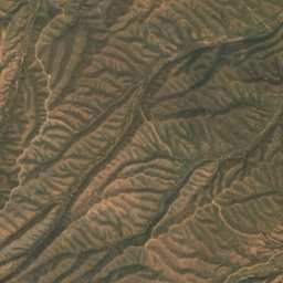
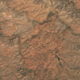
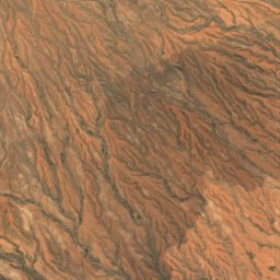
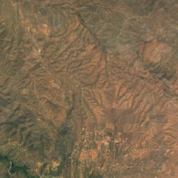
Satellit: Sentinel-2 cloudless 2016 by EOX IT Services GmbH · CC BY 4.0 · Contains modified Copernicus Sentinel data 2016
Peña Blanca Lake
See · 1.173 m
Berge
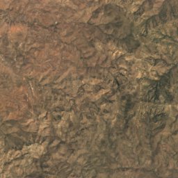
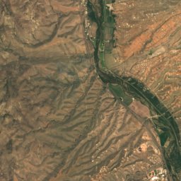
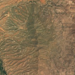
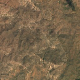
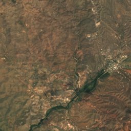
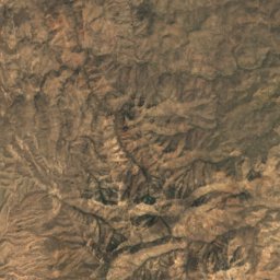
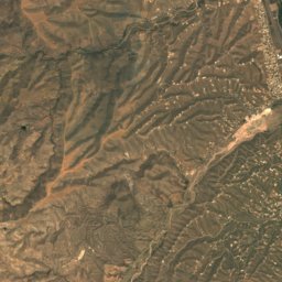
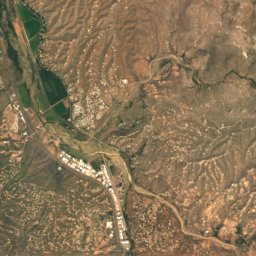
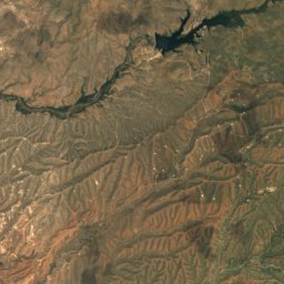
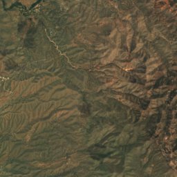
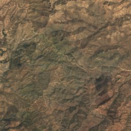
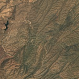
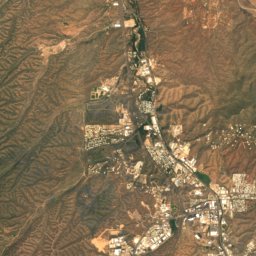
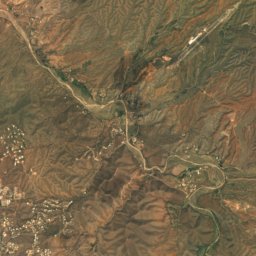
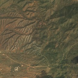
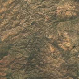
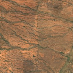
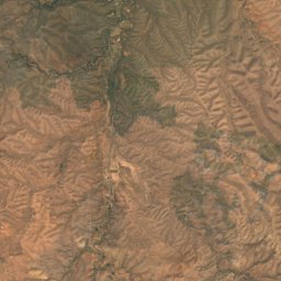
Satellit: Sentinel-2 cloudless 2016 by EOX IT Services GmbH · CC BY 4.0 · Contains modified Copernicus Sentinel data 2016
Mount Benedict
1.390 m
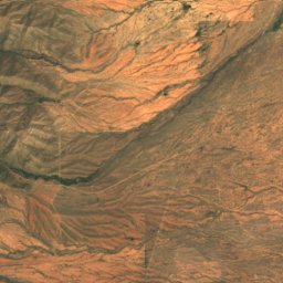
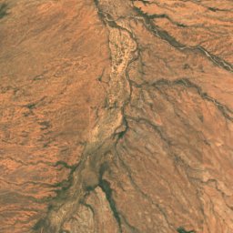
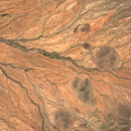
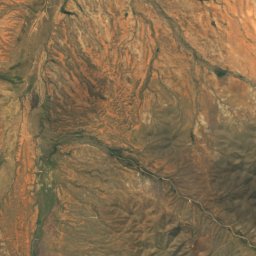
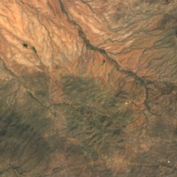
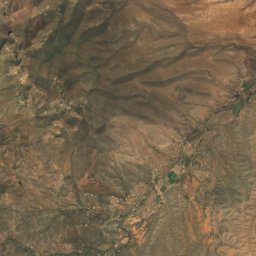
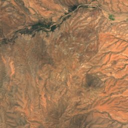
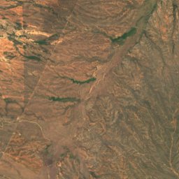
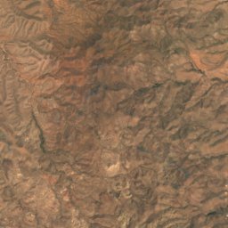
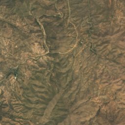
Satellit: Sentinel-2 cloudless 2016 by EOX IT Services GmbH · CC BY 4.0 · Contains modified Copernicus Sentinel data 2016
Cerro Colorado
1.280 m
Denkmäler






Satellit: Sentinel-2 cloudless 2016 by EOX IT Services GmbH · CC BY 4.0 · Contains modified Copernicus Sentinel data 2016
Atascosa Lookout House
Eintrag im National Register of Historic Places · 1933