Skip to content
Destinations
Weather & climate
Nature
Outdoors
Culture
Events
Sky & live
Schnitz Tower
Photo: Roland Zumbuehl · CC BY-SA 3.0 · Wikimedia Commons
Schnitz TowerReport this photo · linked, not stored
Lopper
Photo: Marco Ghinolfi · CC0 · Wikimedia Commons
LopperReport this photo · linked, not stored
Lopper
Rotzberg Castle ruin
Photo: Roland Zumbuehl · CC BY 3.0 · Wikimedia Commons
Rotzberg Castle ruinReport this photo · linked, not stored
Rotzberg Castle ruin
Salt Depot
Photo: Lionatwork · CC BY-SA 4.0 · Wikimedia Commons
Salt DepotReport this photo · linked, not stored
Salt Depot
Stans
Photo: Tilman AB · Public domain · Wikimedia Commons
StansReport this photo · linked, not stored
Stans
archaeological siteStansstad, Nidwalden

Schnitz Tower

class A Swiss cultural property of national significanceBuilt 1315
Typearchaeological site
Built1315
Best monthsJun–Augweather in Stansstad
46.98° N, 8.34° EUTC+2 · Central European Summer Time
Standing for711 years
built 1315today 2026
When to goStansstad · weather score
JanFebMarAprMayJunJulAugSepOctNovDec48October
Best timeJun–Aug
October: high / low15° / 7°
iAbout

Schnitz Tower in brief

Schnitz Tower is an archaeological site in Stansstad, Nidwalden, Switzerland.

It holds the designation class A Swiss cultural property of national significance.

The archaeological site dates from 1315.

For a visit, the weather in Stansstad is best in June, July and August; in October afternoons average 15°.

Stansstad: weather and travel guide

Facts

Type
archaeological site
Designation
class A Swiss cultural property of national significance
Built
1315
Nearest town
Stansstad
Region
Nidwalden
Coordinates
46.98090, 8.33770
iiLocation

Where to find it

iiiWhen to visit

Weather in Stansstad

Climate guide

Month score for sightseeing

Best Jun–Aug
20
Jan
23
Feb
27
Mar
50
Apr
64
May
65
Jun
67
Jul
66
Aug
64
Sep
48
Oct
19
Nov
19
Dec
ivNearby

More heritage close by

All monuments in Switzerland
Lopper
Photo: Marco Ghinolfi · CC0 · Wikimedia CommonsReport this photo · linked, not stored

Lopper

0.7 km W
class B Swiss cultural property of regional significance
Lopper
Rotzberg Castle ruin
Photo: Roland Zumbuehl · CC BY 3.0 · Wikimedia CommonsReport this photo · linked, not stored

Rotzberg Castle ruin

1.9 km S
class B Swiss cultural property of regional significance
Rotzberg Castle ruin
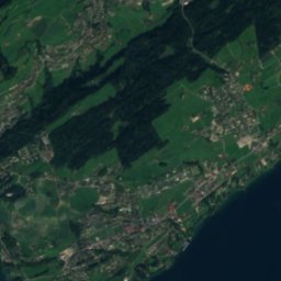
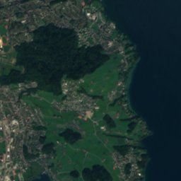
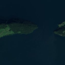
Satellite: Sentinel-2 cloudless 2016 by EOX IT Services GmbH · CC BY 4.0 · Contains modified Copernicus Sentinel data 2016

Glasi Hergiswil

2.0 km W
class B Swiss cultural property of regional significance
Glasi Hergiswil
Salt Depot
Photo: Lionatwork · CC BY-SA 4.0 · Wikimedia CommonsReport this photo · linked, not stored

Salt Depot

3.1 km SE
class B Swiss cultural property of regional significance
Salt Depot
Stans
Photo: Tilman AB · Public domain · Wikimedia CommonsReport this photo · linked, not stored

Stans

3.2 km SE
Swiss townscape worthy of protection
Stans
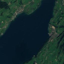
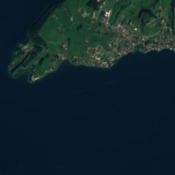
Satellite: Sentinel-2 cloudless 2016 by EOX IT Services GmbH · CC BY 4.0 · Contains modified Copernicus Sentinel data 2016

Höfli (Rosenburg) with barn, garden and curtain wall

3.3 km SE
class A Swiss cultural property of national significance
Höfli (Rosenburg) with barn, garden and curtain wall
·Hiking

Hikes nearby

Routes that pass right by it.

Via Sbrinz
Photo: Roland Zumbuehl · CC BY-SA 3.0 · Wikimedia CommonsReport this photo · linked, not stored
T2
Via SbrinzNidwalden · official99.8 kmdistance5,236 mascentmulti-daytimeVia Sbrinz
Waldstätterweg
Photo: Hans-Rudolf Berner · CC BY-SA 4.0 · Wikimedia CommonsReport this photo · linked, not stored
T2
WaldstätterwegSchwyz · official103 kmdistance5,078 mascentmulti-daytimeWaldstätterweg
Around here

Stansstad and around

Stansstad
Photo: Andrew Bossi · CC BY-SA 2.5 · Wikimedia CommonsReport this photo · linked, not stored

Stansstad

Nidwalden · Switzerland
Jun–Augbest months
25°July high
435 maltitude
Stansstad

Nature

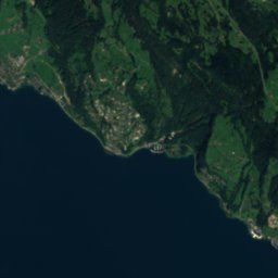
Satellite: Sentinel-2 cloudless 2016 by EOX IT Services GmbH · CC BY 4.0 · Contains modified Copernicus Sentinel data 2016
6.9 km NE

Lake Lucerne

Lake · 434 m
Lake Lucerne
Engelberger Aa
Photo: Glg · CC BY-SA 2.0 de · Wikimedia CommonsReport this photo · linked, not stored
6.8 km E

Engelberger Aa

River · 431 m
Engelberger Aa
Kleine Emme
Photo: DidiWeidmann · CC BY-SA 3.0 · Wikimedia CommonsReport this photo · linked, not stored
11 km N

Kleine Emme

River
Kleine Emme

Mountains

Dammastock
Photo: Paebi · CC BY-SA 3.0 · Wikimedia CommonsReport this photo · linked, not stored
38 km S

Dammastock

3,630 m · Uri Alps
Dammastock
Schneestock
Photo: Cactus26 · CC BY-SA 3.0 · Wikimedia CommonsReport this photo · linked, not stored
37 km S

Schneestock

3,608 m · Uri Alps
Schneestock
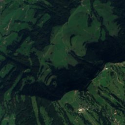
Satellite: Sentinel-2 cloudless 2016 by EOX IT Services GmbH · CC BY 4.0 · Contains modified Copernicus Sentinel data 2016
37 km S

Eggstock

3,555 m · Uri Alps
Eggstock

Heritage

Salt Depot
Photo: Lionatwork · CC BY-SA 4.0 · Wikimedia CommonsReport this photo · linked, not stored
2.9 km SE

Salt Depot

class B Swiss cultural property of regional significance · 1701
Salt Depot
Lopper
Photo: Marco Ghinolfi · CC0 · Wikimedia CommonsReport this photo · linked, not stored
0.5 km NW

Lopper

class B Swiss cultural property of regional significance
Lopper
Rotzberg Castle ruin
Photo: Roland Zumbuehl · CC BY 3.0 · Wikimedia CommonsReport this photo · linked, not stored
1.4 km S

Rotzberg Castle ruin

class B Swiss cultural property of regional significance
Rotzberg Castle ruin

Museums

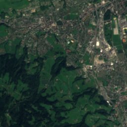
Satellite: Sentinel-2 cloudless 2016 by EOX IT Services GmbH · CC BY 4.0 · Contains modified Copernicus Sentinel data 2016
1.6 km SE

Frey-Naepflin-Stiftung

Art museum
Frey-Naepflin-Stiftung
Satellite: Sentinel-2 cloudless 2016 by EOX IT Services GmbH · CC BY 4.0 · Contains modified Copernicus Sentinel data 2016
2.5 km SE

Museum Nidwalden

Local museum
Museum Nidwalden
Swiss Museum of Transport
Photo: W. Bulach · CC BY-SA 4.0 · Wikimedia CommonsReport this photo · linked, not stored
8.4 km N

Swiss Museum of Transport

Automobile museum · 1959
Swiss Museum of Transport