Skip to content
Destinations
Weather & climate
Nature
Outdoors
Culture
Events
Sky & live
Sarreyer
Photo: Vaquins · CC BY-SA 3.0 · Wikimedia Commons
SarreyerReport this photo · linked, not stored
Médières
Photo: Plutowiki · CC0 · Wikimedia Commons
MédièresReport this photo · linked, not stored
Médières
OrtschaftBagnes, Valais

Sarreyer

Swiss townscape worthy of protection
TypeOrtschaft
Built–
Best monthsJun–Augweather in Bagnes
46.06° N, 7.26° EUTC+2 · Central European Summer Time
When to goBagnes · weather score
JanFebMarAprMayJunJulAugSepOctNovDec42October
Best timeJun–Aug
October: high / low13° / 4°
iAbout

Sarreyer in brief

Sarreyer is an ortschaft in Bagnes, Valais, Switzerland.

It holds the designation Swiss townscape worthy of protection.

For a visit, the weather in Bagnes is best in June, July and August; in October afternoons average 13°.

Bagnes: weather and travel guide

Facts

Type
Ortschaft
Designation
Swiss townscape worthy of protection
Nearest town
Bagnes
Region
Valais
Coordinates
46.06260, 7.25800
iiLocation

Where to find it

iiiWhen to visit

Weather in Bagnes

Climate guide

Month score for sightseeing

Best Jun–Aug
24
Jan
28
Feb
22
Mar
31
Apr
54
May
65
Jun
67
Jul
66
Aug
65
Sep
42
Oct
22
Nov
21
Dec
ivNearby

More heritage close by

All monuments in Switzerland
Médières
Photo: Plutowiki · CC0 · Wikimedia CommonsReport this photo · linked, not stored

Médières

4.0 km NW
Swiss townscape worthy of protection
Médières
Around here

Bagnes and around

Bagnes
Photo: Ludovic Péron · CC BY-SA 3.0 · Wikimedia CommonsReport this photo · linked, not stored

Bagnes

Valais · Switzerland
Jun–Augbest months
23°July high
924 maltitude
Bagnes

Nature

Cleuson Lake
Photo: Claudio Vosti · CC BY-SA 2.0 · Wikimedia CommonsReport this photo · linked, not stored
8.7 km E

Cleuson Lake

Lake · 2,160 m
Cleuson Lake
Lac de Champex
Photo: X-Weinzar · CC BY-SA 3.0 · Wikimedia CommonsReport this photo · linked, not stored
9.9 km SW

Lac de Champex

Lake · 1,467 m
Lac de Champex
Lac de Louvie
Photo: Gleb Zajarski · CC BY-SA 4.0 · Wikimedia CommonsReport this photo · linked, not stored
8.0 km SE

Lac de Louvie

Lake · 2,214 m
Lac de Louvie

Mountains

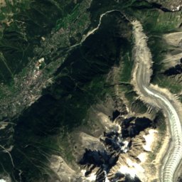
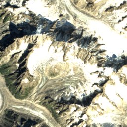
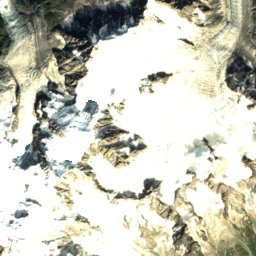
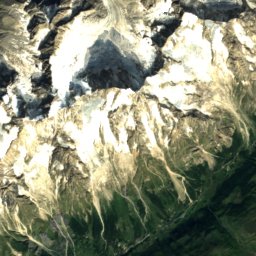
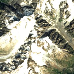
Satellite: Sentinel-2 cloudless 2016 by EOX IT Services GmbH · CC BY 4.0 · Contains modified Copernicus Sentinel data 2016
39 km SW

Central Pillar of Frêney

4,810 m
Central Pillar of Frêney
Mont Blanc
Photo: Christian David · CC BY-SA 4.0 · Wikimedia CommonsReport this photo · linked, not stored
39 km SW

Mont Blanc

4,806 m · Mont Blanc massif
Mont Blanc
rocher de la Tournette
Photo: Franco56 · CC BY-SA 3.0 · Wikimedia CommonsReport this photo · linked, not stored
39 km SW

rocher de la Tournette

4,677 m · Mont Blanc massif
rocher de la Tournette

Heritage

Le Châble
Photo: Olivier Bruchez from Lausanne, Switzerland · CC BY-SA 2.0 · Wikimedia CommonsReport this photo · linked, not stored
1.3 km W

Le Châble

Swiss townscape worthy of protection
Le Châble
Médières
Photo: Plutowiki · CC0 · Wikimedia CommonsReport this photo · linked, not stored
0.9 km NE

Médières

Swiss townscape worthy of protection
Médières
Bridge over the Trient
Photo: Felix Sutter · CC BY-SA 3.0 · Wikimedia CommonsReport this photo · linked, not stored
15 km W

Bridge over the Trient

class B Swiss cultural property of regional significance · 1934
Bridge over the Trient

Museums

Scie et moulin de Sarreyer
Photo: Vaquins · CC BY-SA 3.0 · Wikimedia CommonsReport this photo · linked, not stored
3.4 km SE

Scie et moulin de Sarreyer

Local museum
Scie et moulin de Sarreyer
Soapstone House
Photo: Vaquins · CC BY-SA 3.0 · Wikimedia CommonsReport this photo · linked, not stored
3.6 km SE

Soapstone House

Soapstone House
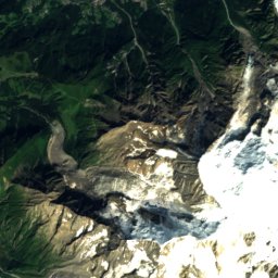
Satellite: Sentinel-2 cloudless 2016 by EOX IT Services GmbH · CC BY 4.0 · Contains modified Copernicus Sentinel data 2016
0.4 km W

Musée de l'Ancienne-Demeure

Local museum
Musée de l'Ancienne-Demeure