
Photo: Certo Xornal · CC BY 2.0 · Wikimedia Commons
Torres do AlloReport this photo · linked, not stored
Torres do AlloReport this photo · linked, not stored

Photo: Hardebits · CC BY-SA 3.0 · Wikimedia Commons
Castro of BorneiroReport this photo · linked, not stored
Castro of BorneiroCastro of BorneiroReport this photo · linked, not stored
manor houseZas, Galicia
Torres do Allo
bien de interés cultural
Typemanor house
Built–
Best monthsJul–Sepweather in Zas
43.16° N, 8.94° WUTC+2 · Central European Summer Time
When to goZas · weather score
Best timeJul–Sep
October: high / low19° / 11°
iAbout
Torres do Allo in brief
Torres do Allo is a manor house in Zas, Galicia, Spain.
It holds the designation bien de interés cultural.
For a visit, the weather in Zas is best in July, August and September; in October afternoons average 19°.
iiLocation
Where to find it
iiiWhen to visit
Climate guideWeather in Zas
Month score for sightseeing
Best Jul–Sep29
Jan
34
Feb
44
Mar
55
Apr
71
May
80
Jun
88
Jul
83
Aug
83
Sep
62
Oct
41
Nov
33
Dec
ivNearby
All monuments in SpainMore heritage close by
Satellite: Sentinel-2 cloudless 2016 by EOX IT Services GmbH · CC BY 4.0 · Contains modified Copernicus Sentinel data 2016
Dombate dolmen
4.2 km NW
bien de interés cultural
Around here
Zas and around

Nature


Photo: Iago Casabiell González · CC BY-SA 4.0 · Wikimedia CommonsReport this photo · linked, not stored
Barcala River
River · 350 m

Mountains

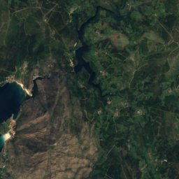
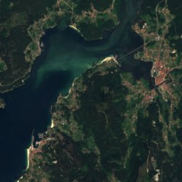
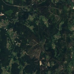
Satellite: Sentinel-2 cloudless 2016 by EOX IT Services GmbH · CC BY 4.0 · Contains modified Copernicus Sentinel data 2016
Tremuzo
531 m · Galician Massif

Photo: Luis Miguel Bugallo Sánchez (Lmbuga) · CC BY-SA 3.0 · Wikimedia CommonsReport this photo · linked, not stored
Monte Pedroso
461 m · Galician Massif
Heritage


Photo: Lansbricae from Santiago de Compostela, España · CC BY-SA 2.0 · Wikimedia CommonsReport this photo · linked, not stored

Pedra da Arca
bien de interés cultural