

Photo: Rodelar · CC BY-SA 4.0 · Wikimedia Commons
Rock carved hermitage of Saints Justus and Pastor, Olleros de PisuergaReport this photo · linked, not stored
Rock carved hermitage of Saints Justus and Pastor, Olleros de PisuergaRock carved hermitage of Saints Justus and Pastor, Olleros de PisuergaReport this photo · linked, not stored

Photo: Zarateman · CC BY 3.0 · Wikimedia Commons
Monastery of Santa María la Real, MaveReport this photo · linked, not stored
Monastery of Santa María la Real, MaveMonastery of Santa María la Real, MaveReport this photo · linked, not stored

Photo: Zarateman · CC0 · Wikimedia Commons
Monastery of Santa Clara, Aguilar de CampooReport this photo · linked, not stored
Monastery of Santa Clara, Aguilar de CampooMonastery of Santa Clara, Aguilar de CampooReport this photo · linked, not stored
monumentAguilar de Campoo, Castille and León
Monte Cildá
Red List of Endangered Heritage itembien de interés cultural
Typemonument
Built–
Best monthsJun–Jul · Sepweather in Aguilar de Campoo
42.75° N, 4.27° WUTC+1 · Central European Standard Time
When to goAguilar de Campoo · weather score
Best timeJun–Jul · Sep
October: high / low18° / 5°
iAbout
Monte Cildá in brief
Monte Cildá is a monument in Aguilar de Campoo, Castille and León, Spain.
It holds the designations Red List of Endangered Heritage item and bien de interés cultural.
For a visit, the weather in Aguilar de Campoo is best in June, July and September; in October afternoons average 18°.
Facts
- Type
- monument
- Designation
- Red List of Endangered Heritage item
- bien de interés cultural
- Nearest town
- Aguilar de Campoo
- Region
- Castille and León
- Coordinates
- 42.74890, -4.27472
iiLocation
Where to find it
iiiWhen to visit
Climate guideWeather in Aguilar de Campoo
Month score for sightseeing
Best Jun–Jul · Sep18
Jan
23
Feb
33
Mar
47
Apr
67
May
77
Jun
75
Jul
73
Aug
77
Sep
64
Oct
25
Nov
18
Dec
ivNearby
All monuments in SpainMore heritage close by
Satellite: Sentinel-2 cloudless 2016 by EOX IT Services GmbH · CC BY 4.0 · Contains modified Copernicus Sentinel data 2016
Cañón de la Horadada
0.3 km NE
bien de interés cultural
Rock carved hermitage of Saints Justus and Pastor, Olleros de Pisuerga
0.9 km W
bien de interés cultural
Monastery of Santa María la Real, Mave
2.9 km S
bien de interés cultural
Satellite: Sentinel-2 cloudless 2016 by EOX IT Services GmbH · CC BY 4.0 · Contains modified Copernicus Sentinel data 2016
Church of Saint Peter, Barrio de San Pedro
4.4 km SW
bien de interés cultural
Monastery of Santa Clara, Aguilar de Campoo
4.8 km N
bien de interés cultural
Around here
Aguilar de Campoo and around

Aguilar de Campoo
Castille and León · Spain
Jun–Jul · Sepbest months
26°July high
904 maltitude
Nature


Mountains
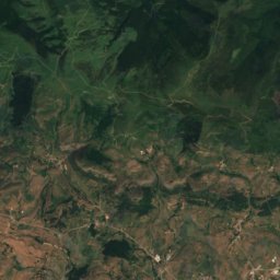
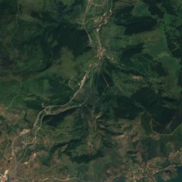
Satellite: Sentinel-2 cloudless 2016 by EOX IT Services GmbH · CC BY 4.0 · Contains modified Copernicus Sentinel data 2016
Alto Abedules
1,404 m


Heritage
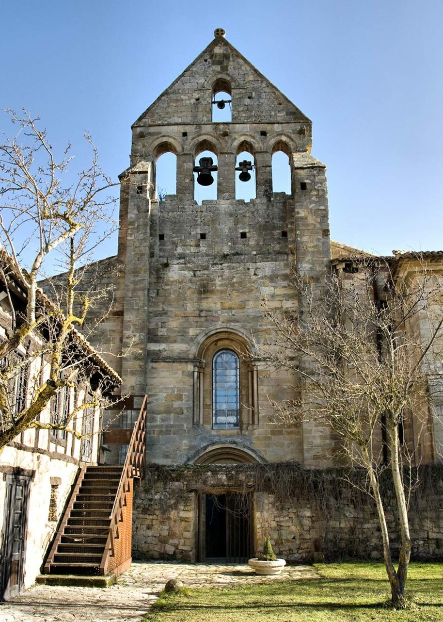
Monastery of Santa María la Real in Aguilar de Campoo
bien de interés cultural · 900

Photo: Luis Fermín TURIEL PEREDO · CC BY-SA 4.0 · Wikimedia CommonsReport this photo · linked, not stored
Hermitage of Santa Cecilia
bien de interés cultural

Museums

Satellite: Sentinel-2 cloudless 2016 by EOX IT Services GmbH · CC BY 4.0 · Contains modified Copernicus Sentinel data 2016
Museo de Escultura URSI
Art museum



Satellite: Sentinel-2 cloudless 2016 by EOX IT Services GmbH · CC BY 4.0 · Contains modified Copernicus Sentinel data 2016
Museo ROM: Románico y Territorio
History museum


Centro de Interpretación de la Minería (Barruelo de Santullán)
Interpretation centre · 1999