Skip to content
Destinations
Weather & climate
Nature
Outdoors
Culture
Events
Sky & live
Camesa
Photo: serdio · CC BY-SA 3.0 · Wikimedia Commons
CamesaReport this photo · linked, not stored
Aguilar Reservoir
Photo: Luis Rogelio HM · CC BY-SA 2.0 · Wikimedia Commons
Aguilar ReservoirReport this photo · linked, not stored
Aguilar Reservoir
Cueva de los Franceses
Photo: Zarateman · CC0 · Wikimedia Commons
Cueva de los FrancesesReport this photo · linked, not stored
Cueva de los Franceses
Cascada de Barriolucio o Cascada La Tobera, Barriolucio
Photo: MottaW · CC BY 4.0 · Wikimedia Commons
Cascada de Barriolucio o Cascada La Tobera, BarriolucioReport this photo · linked, not stored
Cascada de Barriolucio o Cascada La Tobera, Barriolucio
Peña Amaya
Photo: Rubén Díaz Caviedes · CC BY-SA 2.0 · Wikimedia Commons
Peña AmayaReport this photo · linked, not stored
Peña Amaya
RiverAguilar de Campoo, Castille and León

Camesa

RiverBest Jun–Jul · Sep
Elevation–above sea level
Area–surface
Nearest townAguilar de Campoo3.9 km
42.76° N, 4.25° WUTC+2 · Central European Summer Time
When to goAguilar de Campoo · weather score
JanFebMarAprMayJunJulAugSepOctNovDec64October
Best timeJun–Jul · Sep
October: high / low18° / 5°
River

Camesa in brief

Camesa is a river in Aguilar de Campoo, Castille and León, Spain.

The nearest town is Aguilar de Campoo, 3.9 km to the N, where the weather is best in June, July and September.

Aguilar de Campoo: weather and travel guide

Weather nearby now

Forecast for Aguilar de Campoo
10°
Cloudy now
Wind13 km/h
Humidity52%
Cloud cover80%
Today
25 Oct
20°
4°
Mon
26 Oct
22°
5°
Tue
27 Oct
21°
6°
Wed
28 Oct
19°
7°
Thu
29 Oct
19°
4°

Model run 12:00 UTCRefreshed several times a day

The course of the river

As mapped in OpenStreetMap, with the towns along its banks.
1
  1. 1Valdeolea927 m
sourcemouth (or where the mapped line leaves the country)
When to go

The best months around Camesa

Climate of Aguilar de Campoo

Month score in Aguilar de Campoo

Comfort, dry days and sunshine · out of 100
18
Jan
23
Feb
33
Mar
47
Apr
67
May
77
Jun
75
Jul
73
Aug
77
Sep
64
Oct
25
Nov
18
Dec
Map

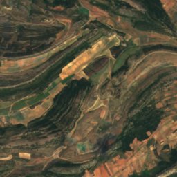
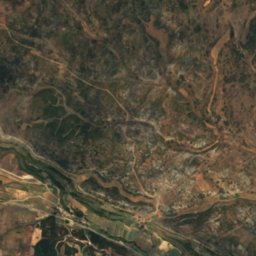
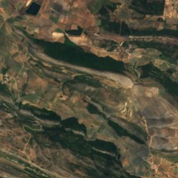
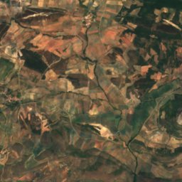
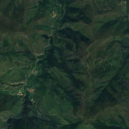
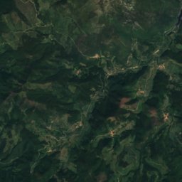
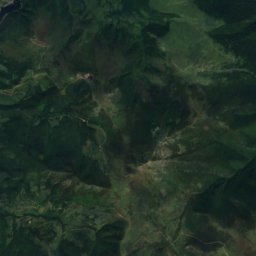
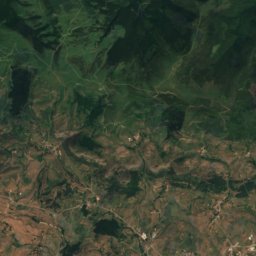
Camesa from above

Nature nearbyAll of Spain
Photo: Luis Rogelio HM · CC BY-SA 2.0 · Wikimedia CommonsReport this photo · linked, not stored
Aguilar ReservoirLake7.0 kmNWAguilar Reservoir
Photo: Zarateman · CC0 · Wikimedia CommonsReport this photo · linked, not stored
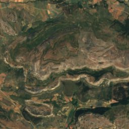
Cueva de los FrancesesCave11 kmECueva de los Franceses
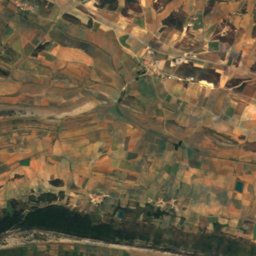
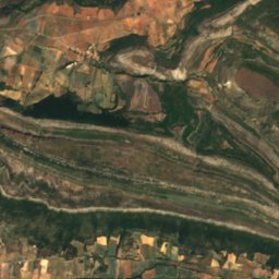
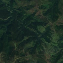
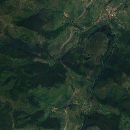
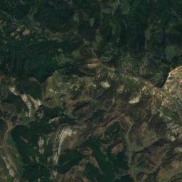
Satellite: Sentinel-2 cloudless 2016 by EOX IT Services GmbH · CC BY 4.0 · Contains modified Copernicus Sentinel data 2016
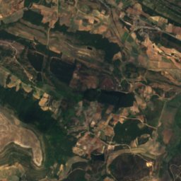
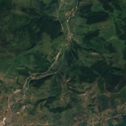
OdraRiver15 kmSEOdra
Photo: MottaW · CC BY 4.0 · Wikimedia CommonsReport this photo · linked, not stored
Cascada de Barriolucio o Cascada La Tobera, BarriolucioWaterfall16 kmSECascada de Barriolucio o Cascada La Tobera, Barriolucio
Summits nearbyMountains of Spain
Photo: Rubén Díaz Caviedes · CC BY-SA 2.0 · Wikimedia CommonsReport this photo · linked, not stored
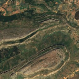
Peña Amaya14 km SE1,377 mJuly 25°Peña Amaya
Photo: RosaTera · CC BY 4.0 · Wikimedia CommonsReport this photo · linked, not stored
Peña Ulaña14 km SE1,171 mJuly 25°Peña Ulaña
Photo: Goldorak · CC BY-SA 4.0 · Wikimedia CommonsReport this photo · linked, not stored
Monte Bernorio mountain6.1 km NE1,170 mJuly 25°Monte Bernorio mountain
Stay nearby

Towns close by

Aguilar de Campoo
Photo: Goldorak · CC BY-SA 4.0 · Wikimedia CommonsReport this photo · linked, not stored

Aguilar de Campoo

Castille and León · 3.9 km N
18°Oct high
13wet days
64score
Aguilar de Campoo
Pomar de Valdivia
Photo: Jesús Gómez Fernández · CC BY 4.0 · Wikimedia CommonsReport this photo · linked, not stored

Pomar de Valdivia

Castille and León · 7.0 km E
18°Oct high
13wet days
63score
Pomar de Valdivia
Rebolledo de la Torre
Photo: Luis Rogelio HM · CC BY-SA 2.0 · Wikimedia CommonsReport this photo · linked, not stored

Rebolledo de la Torre

Castille and León · 8.1 km S
18°Oct high
13wet days
62score
Rebolledo de la Torre
Santibáñez de Ecla
Photo: Montgomery · CC BY-SA 4.0 · Wikimedia CommonsReport this photo · linked, not stored

Santibáñez de Ecla

Castille and León · 11 km SW
18°Oct high
13wet days
61score
Santibáñez de Ecla
Around here

Aguilar de Campoo and around

Aguilar de Campoo
Photo: Goldorak · CC BY-SA 4.0 · Wikimedia CommonsReport this photo · linked, not stored

Aguilar de Campoo

Castille and León · Spain
Jun–Jul · Sepbest months
26°July high
904 maltitude
Aguilar de Campoo

Nature

Aguilar Reservoir
Photo: Luis Rogelio HM · CC BY-SA 2.0 · Wikimedia CommonsReport this photo · linked, not stored
4.2 km W

Aguilar Reservoir

Lake · 932 m
Aguilar Reservoir
Cueva de los Franceses
Photo: Zarateman · CC0 · Wikimedia CommonsReport this photo · linked, not stored
12 km E

Cueva de los Franceses

Cave
Cueva de los Franceses
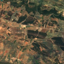
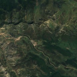
Satellite: Sentinel-2 cloudless 2016 by EOX IT Services GmbH · CC BY 4.0 · Contains modified Copernicus Sentinel data 2016
18 km SE

Odra

River
Odra

Mountains

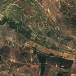
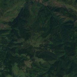
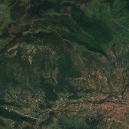
Satellite: Sentinel-2 cloudless 2016 by EOX IT Services GmbH · CC BY 4.0 · Contains modified Copernicus Sentinel data 2016
34 km N

Alto Abedules

1,404 m
Alto Abedules
Peña Amaya
Photo: Rubén Díaz Caviedes · CC BY-SA 2.0 · Wikimedia CommonsReport this photo · linked, not stored
18 km SE

Peña Amaya

1,377 m · Cantabrian Mountains
Peña Amaya
Pico Jano, Bárcena de Pie de Concha
Photo: Monchucantabro · CC BY-SA 3.0 · Wikimedia CommonsReport this photo · linked, not stored
39 km NE

Pico Jano, Bárcena de Pie de Concha

1,290 m
Pico Jano, Bárcena de Pie de Concha

Heritage

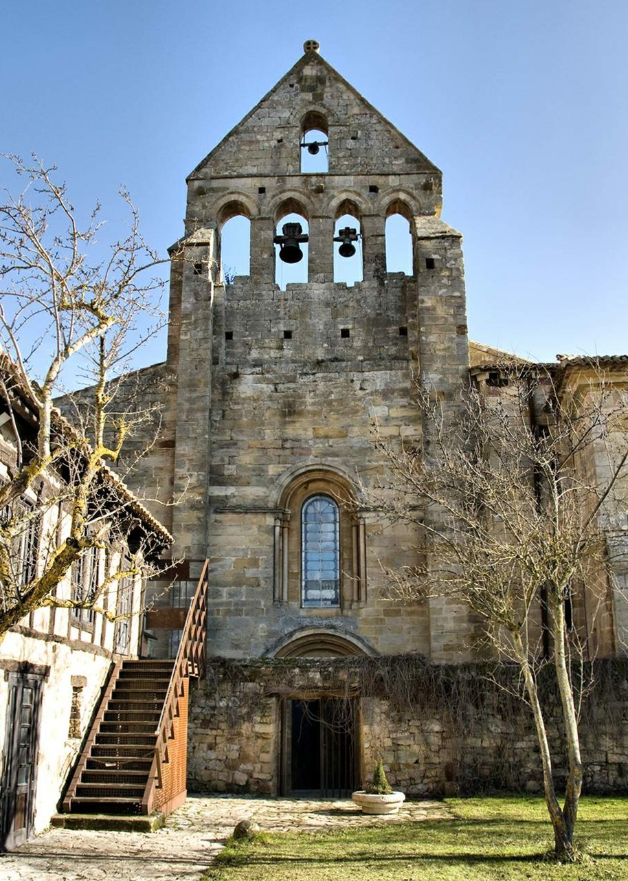
Monastery of Santa María la Real in Aguilar de Campoo
Photo: RAntonio · CC BY-SA 4.0 · Wikimedia CommonsReport this photo · linked, not stored
1.1 km W

Monastery of Santa María la Real in Aguilar de Campoo

bien de interés cultural · 900
Monastery of Santa María la Real in Aguilar de Campoo
Hermitage of Santa Cecilia
Photo: Luis Fermín TURIEL PEREDO · CC BY-SA 4.0 · Wikimedia CommonsReport this photo · linked, not stored
0.3 km NW

Hermitage of Santa Cecilia

bien de interés cultural
Hermitage of Santa Cecilia
Colegiate of San Miguel
Photo: Zarateman · CC0 · Wikimedia CommonsReport this photo · linked, not stored
0.2 km S

Colegiate of San Miguel

bien de interés cultural
Colegiate of San Miguel

Museums

Satellite: Sentinel-2 cloudless 2016 by EOX IT Services GmbH · CC BY 4.0 · Contains modified Copernicus Sentinel data 2016
0.3 km SE

Museo de Escultura URSI

Art museum
Museo de Escultura URSI
Satellite: Sentinel-2 cloudless 2016 by EOX IT Services GmbH · CC BY 4.0 · Contains modified Copernicus Sentinel data 2016
1.1 km W

Museo ROM: Románico y Territorio

History museum
Museo ROM: Románico y Territorio
Centro de Interpretación de la Minería (Barruelo de Santullán)
Photo: Goldorak · CC BY-SA 3.0 · Wikimedia CommonsReport this photo · linked, not stored
13 km N

Centro de Interpretación de la Minería (Barruelo de Santullán)

Interpretation centre · 1999
Centro de Interpretación de la Minería (Barruelo de Santullán)