
Photo: Ben Bender · CC BY-SA 3.0 · Wikimedia Commons
BartelsluisReport this photo · linked, not stored
BartelsluisReport this photo · linked, not stored

Photo: Quistnix at nl.wikipedia · CC BY-SA 2.5 · Wikimedia Commons
De Bonte HenReport this photo · linked, not stored
De Bonte HenDe Bonte HenReport this photo · linked, not stored

Photo: Quistnix at nl.wikipedia · CC BY-SA 2.5 · Wikimedia Commons
Het KlaverbladReport this photo · linked, not stored
Het KlaverbladHet KlaverbladReport this photo · linked, not stored

Photo: Marcel mulder · CC BY-SA 3.0 nl · Wikimedia Commons
Doopsgezinde kerk (Wormerveer)Report this photo · linked, not stored
Doopsgezinde kerk (Wormerveer)Doopsgezinde kerk (Wormerveer)Report this photo · linked, not stored

Photo: Quistnix at nl.wikipedia · CC BY-SA 2.5 · Wikimedia Commons
De OsReport this photo · linked, not stored
De OsDe OsReport this photo · linked, not stored
lockWormer, North Holland
Bartelsluis
municipal monument in the Netherlands
Typelock
Built–
Best monthsMay–Jun · Sepweather in Wormer
52.49° N, 4.81° EUTC+1 · Central European Standard Time
When to goWormer · weather score
Best timeMay–Jun · Sep
October: high / low15° / 8°
iAbout
Bartelsluis in brief
Bartelsluis is a lock in Wormer, North Holland, Netherlands.
It holds the designation municipal monument in the Netherlands.
For a visit, the weather in Wormer is best in May, June and September; in October afternoons average 15°.
Facts
- Type
- lock
- Designation
- municipal monument in the Netherlands
- Nearest town
- Wormer
- Region
- North Holland
- Coordinates
- 52.48778, 4.81333
iiLocation
Where to find it
iiiWhen to visit
Climate guideWeather in Wormer
Month score for sightseeing
Best May–Jun · Sep17
Jan
22
Feb
24
Mar
53
Apr
66
May
69
Jun
65
Jul
65
Aug
66
Sep
43
Oct
18
Nov
16
Dec
ivNearby
All monuments in the NetherlandsMore heritage close by
Photo: Quistnix at nl.wikipedia · CC BY-SA 2.5 · Wikimedia CommonsReport this photo · linked, not stored
De Bonte Hen
1.1 km S
Rijksmonument
Photo: Quistnix at nl.wikipedia · CC BY-SA 2.5 · Wikimedia CommonsReport this photo · linked, not stored
Het Klaverblad
1.1 km S
municipal monument in the Netherlands
Photo: Quistnix at nl.wikipedia · CC BY-SA 2.5 · Wikimedia CommonsReport this photo · linked, not stored
De Os
1.2 km S
Rijksmonument

Photo: Quistnix at Dutch Wikipedia · CC BY-SA 2.5 · Wikimedia CommonsReport this photo · linked, not stored
Het Jonge Schaap
1.3 km S
municipal monument in the Netherlands

Around here
Wormer and around

Nature

Photo: Nilkes at Dutch Wikipedia (Original text: Niels Kim, Niels Kim.nl) · CC BY-SA 3.0 · Wikimedia CommonsReport this photo · linked, not stored
Zaan
River


Mountains




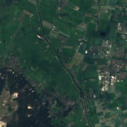
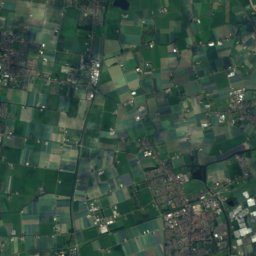


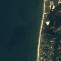
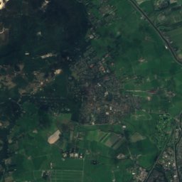
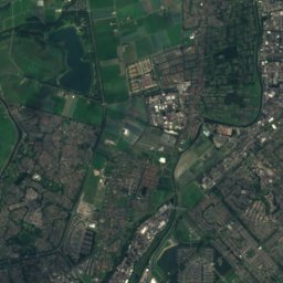
Satellite: Sentinel-2 cloudless 2016 by EOX IT Services GmbH · CC BY 4.0 · Contains modified Copernicus Sentinel data 2016
Catrijper Nok
55 m

Heritage

Photo: Quistnix at nl.wikipedia · CC BY-SA 2.5 · Wikimedia CommonsReport this photo · linked, not stored
De Kat, Zaandijk
Rijksmonument · 1696
Photo: Quistnix at nl.wikipedia · CC BY-SA 2.5 · Wikimedia CommonsReport this photo · linked, not stored
De Bonte Hen
Rijksmonument · 1693


