Skip to content
Destinations
Weather & climate
Nature
Outdoors
Culture
Events
Sky & live
Zaan
Photo: Nilkes at Dutch Wikipedia (Original text: Niels Kim, Niels Kim.nl) · CC BY-SA 3.0 · Wikimedia Commons
ZaanReport this photo · linked, not stored
Uitgeestermeer
Photo: Milliped · CC BY-SA 4.0 · Wikimedia Commons
UitgeestermeerReport this photo · linked, not stored
Uitgeestermeer
Kadoelerbreek
Photo: A. Bakker · CC BY 3.0 · Wikimedia Commons
KadoelerbreekReport this photo · linked, not stored
Kadoelerbreek
Stettineiland, Amsterdam
Photo: Alf van Beem · Public domain · Wikimedia Commons
Stettineiland, AmsterdamReport this photo · linked, not stored
Stettineiland, Amsterdam
RiverZaandijk, North Holland

Zaan

RiverBest May–Jun · Sep
Elevation–above sea level
Length10 kmsource to mouth
Nearest townZaandijk0.8 km
52.47° N, 4.81° EUTC+2 · Central European Summer Time
When to goZaandijk · weather score
JanFebMarAprMayJunJulAugSepOctNovDec43October
Best timeMay–Jun · Sep
October: high / low15° / 8°
River

Zaan in brief

Zaan is a river in Zaandijk, North Holland, Netherlands.

The nearest town in the atlas is Zaandijk, 0.8 km to the NW, where the weather is best in May, June and September.

Zaan is 10 km long.

Zaandijk: weather and travel guide

Weather nearby now

Forecast for Zaandijk
11°
Showers now
Wind19 km/h
Humidity83%
Cloud cover64%
Today
22 Oct
12°
6°
13 mm
Fri
23 Oct
15°
6°
16 mm
Sat
24 Oct
13°
8°
25 mm
Sun
25 Oct
14°
9°
13 mm
Mon
26 Oct
14°
8°
2 mm

Model run 00:00 UTCRefreshed several times a day

When to go

The best months around Zaan

Climate of Zaandijk

Month score in Zaandijk

Comfort, dry days and sunshine · out of 100
17
Jan
22
Feb
24
Mar
54
Apr
66
May
69
Jun
65
Jul
65
Aug
66
Sep
43
Oct
17
Nov
16
Dec
Map

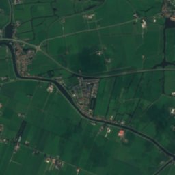
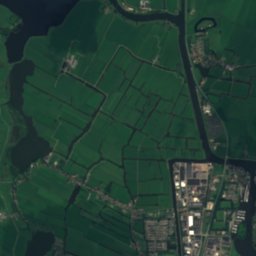
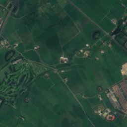
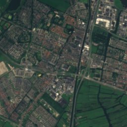
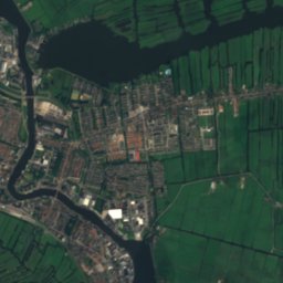
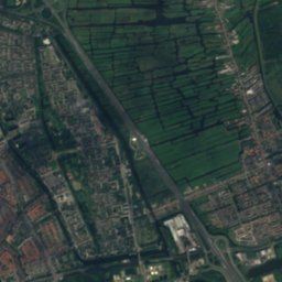
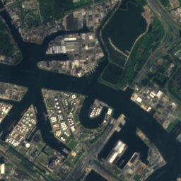
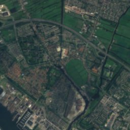
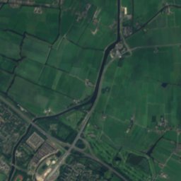
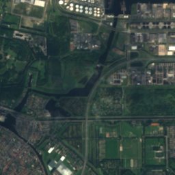
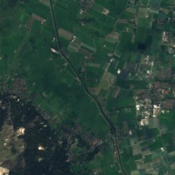
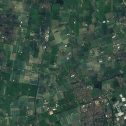
Zaan from above

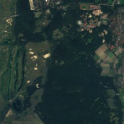
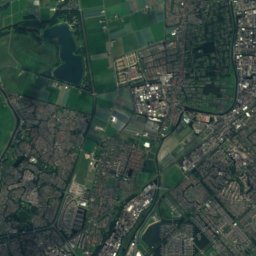
Satellite: Sentinel-2 cloudless 2016 by EOX IT Services GmbH · CC BY 4.0 · Contains modified Copernicus Sentinel data 2016
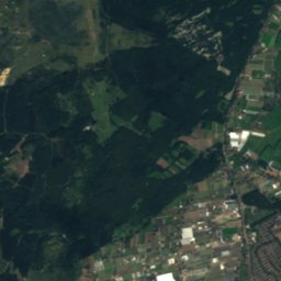
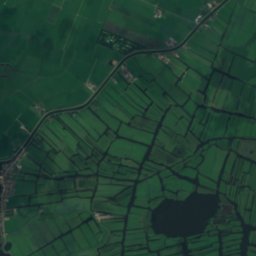
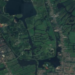
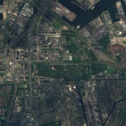
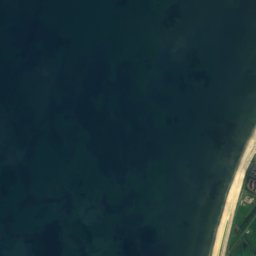
VroonmeerLake7.5 kmNWVroonmeer
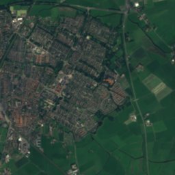
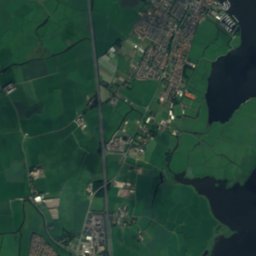
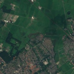
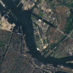
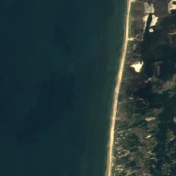
Satellite: Sentinel-2 cloudless 2016 by EOX IT Services GmbH · CC BY 4.0 · Contains modified Copernicus Sentinel data 2016
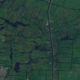
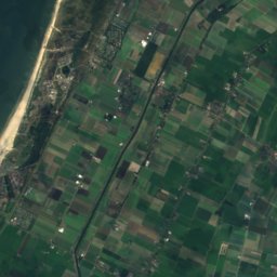
Weijen BusLake8.2 kmNWWeijen Bus
Photo: Milliped · CC BY-SA 4.0 · Wikimedia CommonsReport this photo · linked, not stored
UitgeestermeerLake8.7 kmNWUitgeestermeer
Photo: A. Bakker · CC BY 3.0 · Wikimedia CommonsReport this photo · linked, not stored
KadoelerbreekLake9.3 kmSEKadoelerbreek
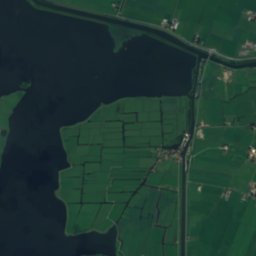
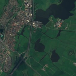
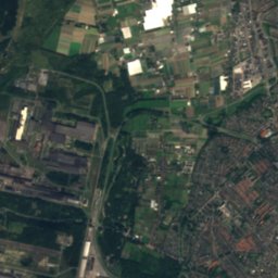
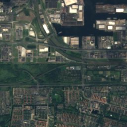
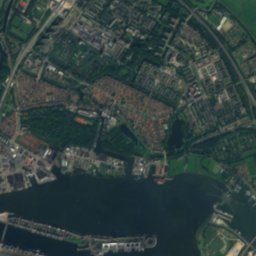
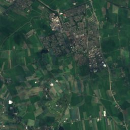
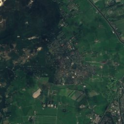
Satellite: Sentinel-2 cloudless 2016 by EOX IT Services GmbH · CC BY 4.0 · Contains modified Copernicus Sentinel data 2016
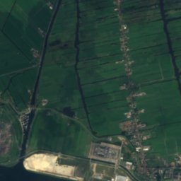
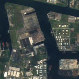
WiborgeilandIsland9.4 kmSEWiborgeiland
Photo: Alf van Beem · Public domain · Wikimedia CommonsReport this photo · linked, not stored
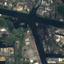
Stettineiland, AmsterdamIsland9.5 kmSEStettineiland, Amsterdam
Stay nearby

Towns close by

Zaandijk
Photo: Quistnix at nl.wikipedia · CC BY-SA 2.5 · Wikimedia CommonsReport this photo · linked, not stored

Zaandijk

North Holland · 0.8 km NW
15°Oct high
15wet days
43score
Zaandijk
Koog aan de Zaan
Photo: Wolk · Public domain · Wikimedia CommonsReport this photo · linked, not stored

Koog aan de Zaan

North Holland · 1.2 km SW
15°Oct high
15wet days
43score
Koog aan de Zaan
Zaanstad
Photo: I, Frila · CC BY-SA 3.0 · Wikimedia CommonsReport this photo · linked, not stored

Zaanstad

North Holland · 1.8 km S
15°Oct high
15wet days
43score
Zaanstad
Wormerveer
Photo: Arch · Public domain · Wikimedia CommonsReport this photo · linked, not stored

Wormerveer

North Holland · 2.9 km NW
15°Oct high
15wet days
43score
Wormerveer
Around here

Zaandijk and around

Zaandijk
Photo: Quistnix at nl.wikipedia · CC BY-SA 2.5 · Wikimedia CommonsReport this photo · linked, not stored

Zaandijk

North Holland · Netherlands
May–Jun · Sepbest months
22°July high
-1 maltitude
Zaandijk

Nature

Spaarne
Photo: Janericloebe · Public domain · Wikimedia CommonsReport this photo · linked, not stored
11 km SW

Spaarne

River
Spaarne
Alkmaardermeer
Photo: H.P.Burger · CC BY 3.0 · Wikimedia CommonsReport this photo · linked, not stored
9.7 km NW

Alkmaardermeer

Lake
Alkmaardermeer
Uitgeestermeer
Photo: Milliped · CC BY-SA 4.0 · Wikimedia CommonsReport this photo · linked, not stored
8.0 km NW

Uitgeestermeer

Lake
Uitgeestermeer

Mountains

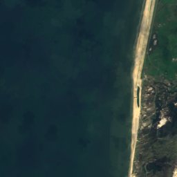
Satellite: Sentinel-2 cloudless 2016 by EOX IT Services GmbH · CC BY 4.0 · Contains modified Copernicus Sentinel data 2016
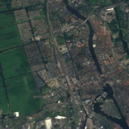
28 km N

Catrijper Nok

55 m
Catrijper Nok
Trapjesberg
Photo: Romaine · CC0 · Wikimedia CommonsReport this photo · linked, not stored
35 km SE

Trapjesberg

23 m
Trapjesberg

Heritage

Maria Magdalenakerk, Zaandijk
Photo: Joris · CC BY-SA 4.0 · Wikimedia CommonsReport this photo · linked, not stored
1.7 km E

Maria Magdalenakerk, Zaandijk

municipal monument in the Netherlands · 1880
Maria Magdalenakerk, Zaandijk
Heilige-Martelaren-van-Gorcumkerk
Photo: A. Bakker · CC BY 3.0 · Wikimedia CommonsReport this photo · linked, not stored
1.0 km S

Heilige-Martelaren-van-Gorcumkerk

municipal monument in the Netherlands · 1930
Heilige-Martelaren-van-Gorcumkerk
Doopsgezinde kerk (Wormerveer)
Photo: Marcel mulder · CC BY-SA 3.0 nl · Wikimedia CommonsReport this photo · linked, not stored
1.9 km N

Doopsgezinde kerk (Wormerveer)

Rijksmonument · 1831
Doopsgezinde kerk (Wormerveer)

Museums

Zaanse Schans
Photo: Mustang Joe · CC0 · Wikimedia CommonsReport this photo · linked, not stored
0.7 km E

Zaanse Schans

Open-air museum · 1961
Zaanse Schans
Zaans Museum
Photo: Willemijn92 · CC BY-SA 4.0 · Wikimedia CommonsReport this photo · linked, not stored
1.1 km E

Zaans Museum

1994
Zaans Museum
Zaanse Time Museum
Photo: Zairon · CC BY-SA 4.0 · Wikimedia CommonsReport this photo · linked, not stored
0.7 km SE

Zaanse Time Museum

Zaanse Time Museum