














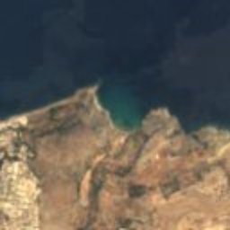
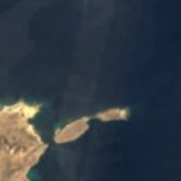






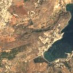
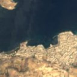
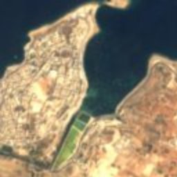
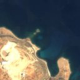




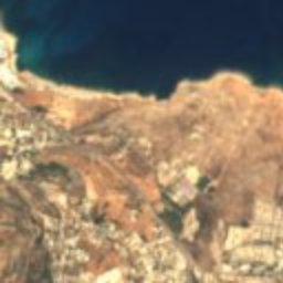
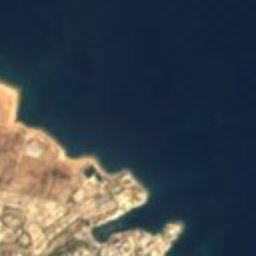


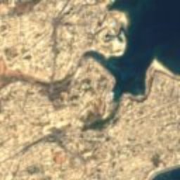
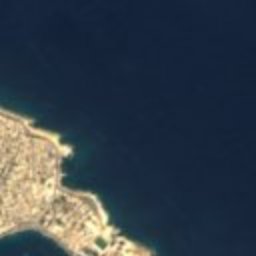

Satellite: Sentinel-2 cloudless 2016 by EOX IT Services GmbH · CC BY 4.0 · Contains modified Copernicus Sentinel data 2016

Photo: © Rolf Krahl / CC BY 4.0 (via Wikimedia Commons) · CC BY 4.0 · Wikimedia Commons
Victoria LinesReport this photo · linked, not stored
Victoria LinesVictoria LinesReport this photo · linked, not stored

Photo: Shoka at the English-language Wikipedia · CC BY-SA 3.0 · Wikimedia Commons
Għallis TowerReport this photo · linked, not stored
Għallis TowerGħallis TowerReport this photo · linked, not stored

Photo: Bogdan Giușcă · CC BY-SA 3.0 · Wikimedia Commons
Ximenes RedoubtReport this photo · linked, not stored
Ximenes RedoubtXimenes RedoubtReport this photo · linked, not stored

Photo: Frank Vincentz · CC BY-SA 3.0 · Wikimedia Commons
Perellos RedoubtReport this photo · linked, not stored
Perellos RedoubtPerellos RedoubtReport this photo · linked, not stored
towerBaħar iċ-Ċagħaq, In-Naxxar
St Mark's Tower
Grade 1Built 1658
Typetower
Built1658
Best monthsMar–Mayweather in Baħar iċ-Ċagħaq
35.95° N, 14.45° EUTC+1 · Central European Standard Time
Standing for368 years
built 1658today 2026
When to goBaħar iċ-Ċagħaq · weather score
Best timeMar–May
October: high / low25° / 19°
iAbout
St Mark's Tower in brief
St Mark's Tower is a tower in Baħar iċ-Ċagħaq, In-Naxxar, Malta.
It holds the designation Grade 1.
The tower dates from 1658.
For a visit, the weather in Baħar iċ-Ċagħaq is best in March, April and May; in October afternoons average 25°.
Facts
- Type
- tower
- Designation
- Grade 1
- Built
- 1658
- Nearest town
- Baħar iċ-Ċagħaq
- Region
- In-Naxxar
- Coordinates
- 35.94640, 14.45310
iiLocation
Where to find it
iiiWhen to visit
Climate guideWeather in Baħar iċ-Ċagħaq
Month score for sightseeing
Best Mar–May61
Jan
64
Feb
77
Mar
85
Apr
91
May
77
Jun
67
Jul
63
Aug
63
Sep
72
Oct
69
Nov
67
Dec
ivNearby
All monuments in MaltaMore heritage close by
Photo: © Rolf Krahl / CC BY 4.0 (via Wikimedia Commons) · CC BY 4.0 · Wikimedia CommonsReport this photo · linked, not stored
Victoria Lines
1.6 km S
Tentative World Heritage Site
Photo: Shoka at the English-language Wikipedia · CC BY-SA 3.0 · Wikimedia CommonsReport this photo · linked, not stored
Għallis Tower
1.9 km NW
Grade 1
Satellite: Sentinel-2 cloudless 2016 by EOX IT Services GmbH · CC BY 4.0 · Contains modified Copernicus Sentinel data 2016
Madliena Tower
2.1 km SE
Grade 1

Photo: Continentaleurope at English Wikipedia · CC BY-SA 3.0 · Wikimedia CommonsReport this photo · linked, not stored
Naxxar Entrenchment
2.8 km SW
Grade 1
Around here
Baħar iċ-Ċagħaq and around

Nature


Photo: Jean-Christophe BENOIST · CC BY 2.5 · Wikimedia CommonsReport this photo · linked, not stored
Għar Dalam
Cave · 23 m

Photo: Ninaeva Нина Силаева · CC BY-SA 3.0 · Wikimedia CommonsReport this photo · linked, not stored
Blue Grotto
Cave · 14 m
Heritage
Photo: © Rolf Krahl / CC BY 4.0 (via Wikimedia Commons) · CC BY 4.0 · Wikimedia CommonsReport this photo · linked, not stored
Victoria Lines
Tentative World Heritage Site · 1875

Photo: Continentaleurope at English Wikipedia · CC BY-SA 3.0 · Wikimedia CommonsReport this photo · linked, not stored
Palazzo Parisio, Naxxar
Grade 1 · 1906
Photo: Shoka at the English-language Wikipedia · CC BY-SA 3.0 · Wikimedia CommonsReport this photo · linked, not stored
Għallis Tower
Grade 1 · 1658
Museums

Photo: allen watkin from London, UK · CC BY 2.0 · Wikimedia CommonsReport this photo · linked, not stored


