
Photo: Jean-Christophe BENOIST · CC BY 2.5 · Wikimedia Commons
Għar DalamReport this photo · linked, not stored
Għar DalamReport this photo · linked, not stored

Photo: Renata Apan · CC BY-SA 4.0 · Wikimedia Commons
Għar ĦasanReport this photo · linked, not stored
Għar ĦasanGħar ĦasanReport this photo · linked, not stored
CaveBirżebbuġa, Birżebbuġa
Għar Dalam
Cave23 m elevationBest Mar–May
Elevation23 mabove sea level
Inside20°Call year
Nearest townBirżebbuġa1.2 km
35.84° N, 14.53° EElevation 23 mUTC+2 · Central European Summer Time
When to goBirżebbuġa · weather score
Best timeMar–May
October: high / low25° / 19°
Cave
Għar Dalam in brief
Għar Dalam is a cave in Birżebbuġa, Malta — cave.
It lies at 23 m above sea level.
The nearest town in the atlas is Birżebbuġa, 1.2 km to the S, where the weather is best in March, April and May.
Inside, a cave stays close to the average yearly air temperature outside: about 20°C all year.
Weather nearby now
Forecast for Birżebbuġa23°
Sunny now
Today
22 Oct
25°
19°
Fri
23 Oct
25°
19°
Sat
24 Oct
25°
19°
Sun
25 Oct
24°
18°
Mon
26 Oct
24°
17°
Model run 00:00 UTCRefreshed several times a day
When to go
Climate of BirżebbuġaThe best months around Għar Dalam
Month score in Birżebbuġa
Comfort, dry days and sunshine · out of 10061
Jan
65
Feb
78
Mar
85
Apr
91
May
77
Jun
67
Jul
63
Aug
62
Sep
72
Oct
69
Nov
68
Dec
Map
Għar Dalam from above
Nature nearbyAll of Malta
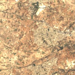
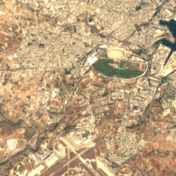
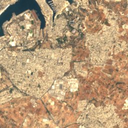
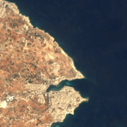

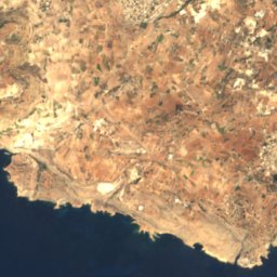
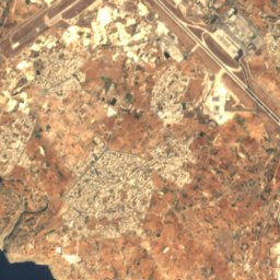
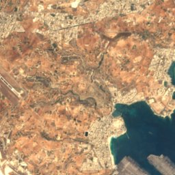
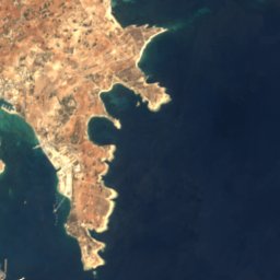




Satellite: Sentinel-2 cloudless 2016 by EOX IT Services GmbH · CC BY 4.0 · Contains modified Copernicus Sentinel data 2016

Satellite: Sentinel-2 cloudless 2016 by EOX IT Services GmbH · CC BY 4.0 · Contains modified Copernicus Sentinel data 2016
Satellite: Sentinel-2 cloudless 2016 by EOX IT Services GmbH · CC BY 4.0 · Contains modified Copernicus Sentinel data 2016




Satellite: Sentinel-2 cloudless 2016 by EOX IT Services GmbH · CC BY 4.0 · Contains modified Copernicus Sentinel data 2016
Satellite: Sentinel-2 cloudless 2016 by EOX IT Services GmbH · CC BY 4.0 · Contains modified Copernicus Sentinel data 2016
Stay nearby
Towns close by

Photo: Jean-Christophe BENOIST · CC BY 2.5 · Wikimedia CommonsReport this photo · linked, not stored
Birżebbuġa
Birżebbuġa · 1.2 km S
25°Oct high
11wet days
72score


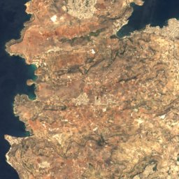
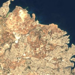


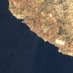
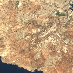
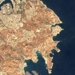



Satellite: Sentinel-2 cloudless 2016 by EOX IT Services GmbH · CC BY 4.0 · Contains modified Copernicus Sentinel data 2016
Għaxaq
Ħal Għaxaq · 1.8 km NW
25°Oct high
11wet days
73score

Around here
Birżebbuġa and around
Photo: Jean-Christophe BENOIST · CC BY 2.5 · Wikimedia CommonsReport this photo · linked, not stored
Birżebbuġa
Birżebbuġa · Malta
Mar–Maybest months
32°July high
20 maltitude
Nature

Photo: Ninaeva Нина Силаева · CC BY-SA 3.0 · Wikimedia CommonsReport this photo · linked, not stored
Blue Grotto
Cave · 14 m

Heritage


Photo: Continentaleurope at English Wikipedia · CC BY-SA 3.0 · Wikimedia CommonsReport this photo · linked, not stored
Saint George Redoubt
Grade 1 · 1714

Photo: Continentaleurope at English Wikipedia · CC BY-SA 3.0 · Wikimedia CommonsReport this photo · linked, not stored
Pinto Battery
Grade 1 · 1715
Museums


Photo: © Marie-Lan Nguyen / Wikimedia Commons · CC BY 2.5 · Wikimedia CommonsReport this photo · linked, not stored

Malta Maritime Museum
Maritime museum · 1988