Skip to content
Destinations
Weather & climate
Nature
Outdoors
Culture
Events
Sky & live
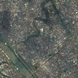
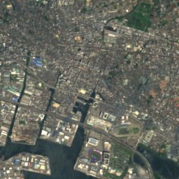
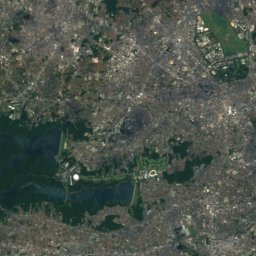
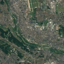
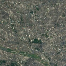
Satellite: Sentinel-2 cloudless 2016 by EOX IT Services GmbH · CC BY 4.0 · Contains modified Copernicus Sentinel data 2016
Horinouchi Shell Mound
Photo: Tsuyoshi chiba · CC BY-SA 4.0 · Wikimedia Commons
Horinouchi Shell MoundReport this photo · linked, not stored
Horinouchi Shell Mound
Yamamoto-tei
Photo: Kamemaru2000 · CC BY-SA 3.0 · Wikimedia Commons
Yamamoto-teiReport this photo · linked, not stored
Yamamoto-tei
Shimōsa Kokubun-ji Temple
Photo: Saigen Jiro · CC0 · Wikimedia Commons
Shimōsa Kokubun-ji TempleReport this photo · linked, not stored
Shimōsa Kokubun-ji Temple
Tojō-tei
Photo: Wiiii · CC BY-SA 3.0 · Wikimedia Commons
Tojō-teiReport this photo · linked, not stored
Tojō-tei
water towerMatsudo, Chiba

栗山配水塔

JSCE Civil Engineering Heritage SiteBuilt 1937
Typewater tower
Built1937
Best monthsApr–May · Octweather in Matsudo
35.76° N, 139.90° EUTC+9 · Japan Standard Time
Standing for89 years
built 1937today 2026
When to goMatsudo · weather score
JanFebMarAprMayJunJulAugSepOctNovDec64October
Best timeApr–May · Oct
October: high / low21° / 14°
iAbout

栗山配水塔 in brief

栗山配水塔 is a water tower in Matsudo, Chiba, Japan.

It holds the designation JSCE Civil Engineering Heritage Site.

The water tower dates from 1937.

For a visit, the weather in Matsudo is best in April, May and October; in October afternoons average 21°.

Matsudo: weather and travel guide

Facts

Type
water tower
Designation
JSCE Civil Engineering Heritage Site
Built
1937
Nearest town
Matsudo
Region
Chiba
Coordinates
35.75522, 139.89779
iiLocation

Where to find it

iiiWhen to visit

Weather in Matsudo

Climate guide

Month score for sightseeing

Best Apr–May · Oct
ivNearby

More heritage close by

All monuments in Japan
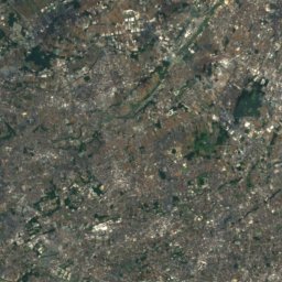
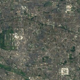
Satellite: Sentinel-2 cloudless 2016 by EOX IT Services GmbH · CC BY 4.0 · Contains modified Copernicus Sentinel data 2016

Yanagihara suikō

0.6 km SW
Heritage of Industrial Modernization
Yanagihara suikō
Horinouchi Shell Mound
Photo: Tsuyoshi chiba · CC BY-SA 4.0 · Wikimedia CommonsReport this photo · linked, not stored

Horinouchi Shell Mound

1.2 km E
Historic Site of Japan
Horinouchi Shell Mound
Yamamoto-tei
Photo: Kamemaru2000 · CC BY-SA 3.0 · Wikimedia CommonsReport this photo · linked, not stored

Yamamoto-tei

1.6 km W
Tokyo Metropolitan Government-designated architectural structure of historic value
Yamamoto-tei
Shimōsa Kokubun-ji Temple
Photo: Saigen Jiro · CC0 · Wikimedia CommonsReport this photo · linked, not stored

Shimōsa Kokubun-ji Temple

2.1 km SE
Historic Site of Japan
Shimōsa Kokubun-ji Temple
Tojō-tei
Photo: Wiiii · CC BY-SA 3.0 · Wikimedia CommonsReport this photo · linked, not stored

Tojō-tei

2.5 km N
Important Cultural Property of Japan
Tojō-tei
Koyama Himon
Photo: Fumihiro Kato · CC BY 4.0 · Wikimedia CommonsReport this photo · linked, not stored

Koyama Himon

2.5 km N
JSCE Civil Engineering Heritage Site
Koyama Himon
Around here

Matsudo and around

Matsudo
Photo: Eurotuber · CC BY-SA 3.0 · Wikimedia CommonsReport this photo · linked, not stored

Matsudo

Chiba · Japan
Apr–May · Octbest months
28°July high
10 maltitude
Matsudo

Nature

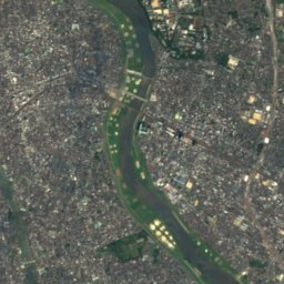
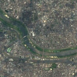
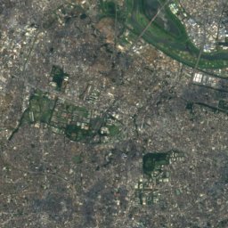
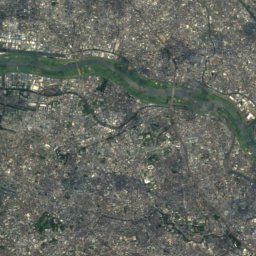
Satellite: Sentinel-2 cloudless 2016 by EOX IT Services GmbH · CC BY 4.0 · Contains modified Copernicus Sentinel data 2016
12 km S

Edo River

River
Edo River
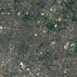
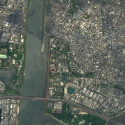
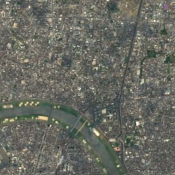
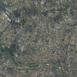
Satellite: Sentinel-2 cloudless 2016 by EOX IT Services GmbH · CC BY 4.0 · Contains modified Copernicus Sentinel data 2016
8.3 km SW

Ayase River

River
Ayase River
Mama River
Photo: Kinori · Public domain · Wikimedia CommonsReport this photo · linked, not stored
11 km SE

Mama River

River
Mama River

Mountains

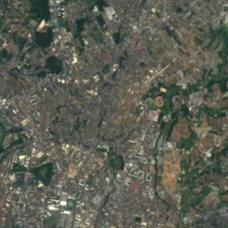
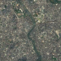
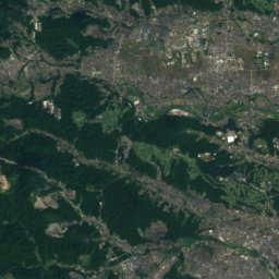
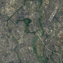
Satellite: Sentinel-2 cloudless 2016 by EOX IT Services GmbH · CC BY 4.0 · Contains modified Copernicus Sentinel data 2016
38 km W

Mount Sengen, Tokyo

80 m
Mount Sengen, Tokyo
Mount Hakone, Tokyo
Photo: MawaruNeko · CC0 · Wikimedia CommonsReport this photo · linked, not stored
19 km SW

Mount Hakone, Tokyo

45 m
Mount Hakone, Tokyo
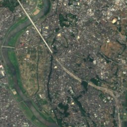
Satellite: Sentinel-2 cloudless 2016 by EOX IT Services GmbH · CC BY 4.0 · Contains modified Copernicus Sentinel data 2016
19 km SW

Mount Atago, Tokyo

26 m
Mount Atago, Tokyo

Heritage

Tojō-tei
Photo: Wiiii · CC BY-SA 3.0 · Wikimedia CommonsReport this photo · linked, not stored
0.3 km SW

Tojō-tei

Important Cultural Property of Japan · 1884
Tojō-tei
Koyama Himon
Photo: Fumihiro Kato · CC BY 4.0 · Wikimedia CommonsReport this photo · linked, not stored
0.5 km SW

Koyama Himon

JSCE Civil Engineering Heritage Site · 1898
Koyama Himon
Horinouchi Shell Mound
Photo: Tsuyoshi chiba · CC BY-SA 4.0 · Wikimedia CommonsReport this photo · linked, not stored
2.4 km S

Horinouchi Shell Mound

Historic Site of Japan
Horinouchi Shell Mound

Museums

Municipal Museum of Archaeology in Ichikawa
Photo: Fred Cherrygarden · CC BY-SA 4.0 · Wikimedia CommonsReport this photo · linked, not stored
2.5 km S

Municipal Museum of Archaeology in Ichikawa

Archaeological museum · 1972
Municipal Museum of Archaeology in Ichikawa
Katsushika Shibamata Tora-san Museum
Photo: Abasaa · Public domain · Wikimedia CommonsReport this photo · linked, not stored
3.2 km SW

Katsushika Shibamata Tora-san Museum

Film museum
Katsushika Shibamata Tora-san Museum
Tojō Museum of History
Photo: 麒麟坊 · CC BY-SA 3.0 · Wikimedia CommonsReport this photo · linked, not stored
0.3 km SW

Tojō Museum of History

History museum · 1991
Tojō Museum of History