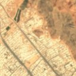
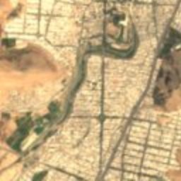
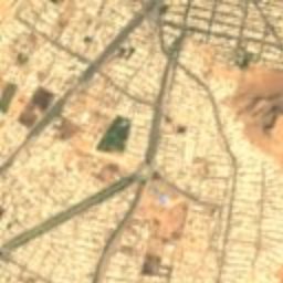
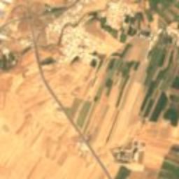
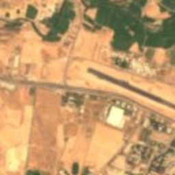
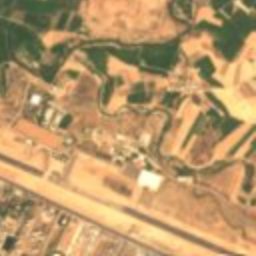
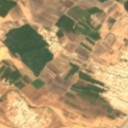
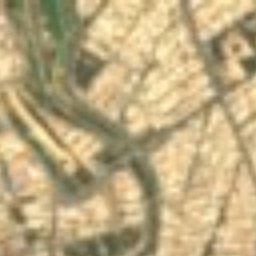
Satellite: Sentinel-2 cloudless 2016 by EOX IT Services GmbH · CC BY 4.0 · Contains modified Copernicus Sentinel data 2016

Photo: Arosha-photo (Reza Sobhai) · CC BY-SA 4.0 · Wikimedia Commons
Falak-ol-AflakReport this photo · linked, not stored
Falak-ol-AflakFalak-ol-AflakReport this photo · linked, not stored

Photo: Gholami.yasaman · CC BY-SA 4.0 · Wikimedia Commons
Akhund Abu HouseReport this photo · linked, not stored
Akhund Abu HouseAkhund Abu HouseReport this photo · linked, not stored

Photo: Zeinabteli · CC BY-SA 4.0 · Wikimedia Commons
Gap Hammam, KhorramabadReport this photo · linked, not stored
Gap Hammam, KhorramabadGap Hammam, KhorramabadReport this photo · linked, not stored

Photo: Mehrdad Jamali firouzabadi · CC BY-SA 4.0 · Wikimedia Commons
Gerdab-e SangiReport this photo · linked, not stored
Gerdab-e SangiGerdab-e SangiReport this photo · linked, not stored
stone arch bridgeKhorramabad, Lorestan Province
Safavi Bridge
Iranian National Heritage
Typestone arch bridge
Built–
Best monthsApr–May · Octweather in Khorramabad
33.49° N, 48.36° EUTC+3:30 · Iran Standard Time
When to goKhorramabad · weather score
Best timeApr–May · Oct
October: high / low25° / 11°
iAbout
Safavi Bridge in brief
Safavi Bridge is a stone arch bridge in Khorramabad, Lorestan Province, Iran.
It holds the designation Iranian National Heritage.
For a visit, the weather in Khorramabad is best in April, May and October; in October afternoons average 25°.
Facts
- Type
- stone arch bridge
- Designation
- Iranian National Heritage
- Nearest town
- Khorramabad
- Region
- Lorestan Province
- Coordinates
- 33.48618, 48.35543
iiLocation
Where to find it
ivNearby
All monuments in IranMore heritage close by
Satellite: Sentinel-2 cloudless 2016 by EOX IT Services GmbH · CC BY 4.0 · Contains modified Copernicus Sentinel data 2016
Siba Castle
0.3 km SW
Iranian National Heritage
Photo: Arosha-photo (Reza Sobhai) · CC BY-SA 4.0 · Wikimedia CommonsReport this photo · linked, not stored
Falak-ol-Aflak
0.3 km SW
Iranian National Heritage
Satellite: Sentinel-2 cloudless 2016 by EOX IT Services GmbH · CC BY 4.0 · Contains modified Copernicus Sentinel data 2016
Baba Taher Mausoleum (Khorramabad)
0.5 km SW
Iranian National Heritage
Photo: Mehrdad Jamali firouzabadi · CC BY-SA 4.0 · Wikimedia CommonsReport this photo · linked, not stored
Gerdab-e Sangi
0.8 km NW
Iranian National Heritage
Around here
Khorramabad and around
Photo: Arosha-photo (Reza Sobhai) · CC BY-SA 4.0 · Wikimedia CommonsReport this photo · linked, not stored
Khorramabad
Lorestan Province · Iran
Apr–May · Octbest months
38°July high
1,182 maltitude
Nature

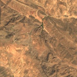
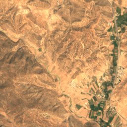
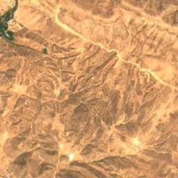
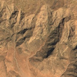
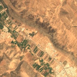
Satellite: Sentinel-2 cloudless 2016 by EOX IT Services GmbH · CC BY 4.0 · Contains modified Copernicus Sentinel data 2016
Yafteh
Cave
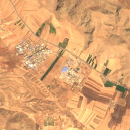
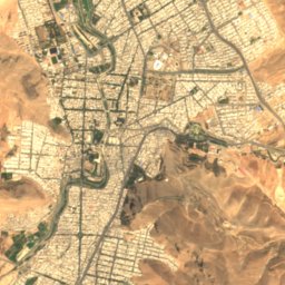
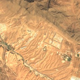
Satellite: Sentinel-2 cloudless 2016 by EOX IT Services GmbH · CC BY 4.0 · Contains modified Copernicus Sentinel data 2016
Estakhr-e Maşnū‘ī-ye Sarāb-e Kīv
Lake
Heritage
Satellite: Sentinel-2 cloudless 2016 by EOX IT Services GmbH · CC BY 4.0 · Contains modified Copernicus Sentinel data 2016
Falak-ol-Aflak
Iranian National Heritage



Satellite: Sentinel-2 cloudless 2016 by EOX IT Services GmbH · CC BY 4.0 · Contains modified Copernicus Sentinel data 2016
Khorramabad
Tentative World Heritage Site