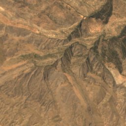
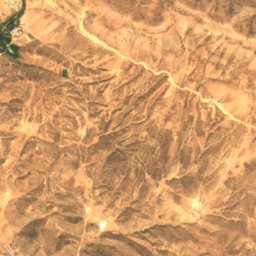
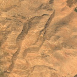
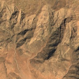
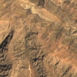
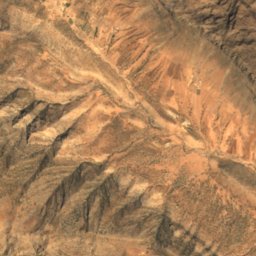
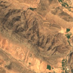
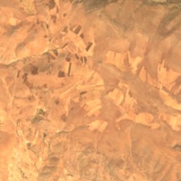
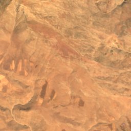
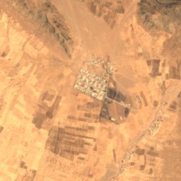
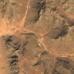
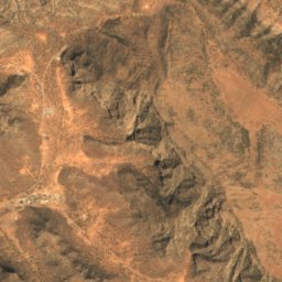
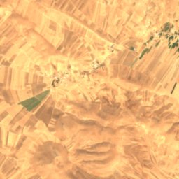
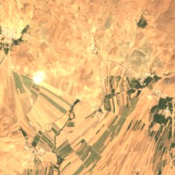
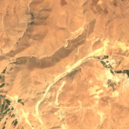
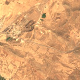
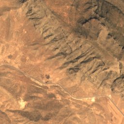
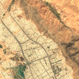
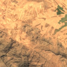
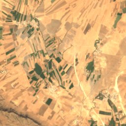
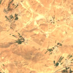
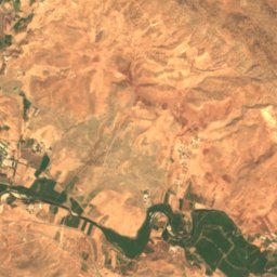
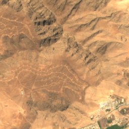
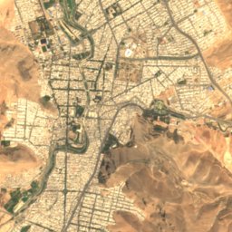
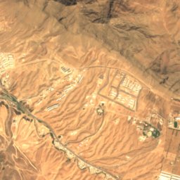
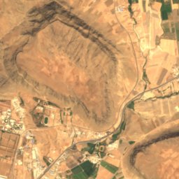
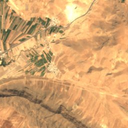
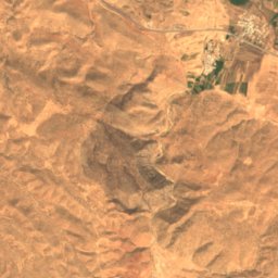
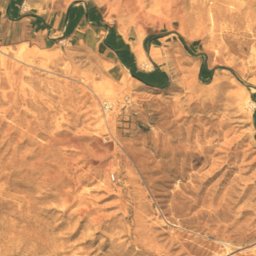
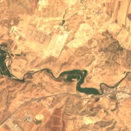
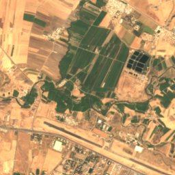
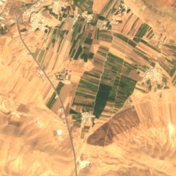
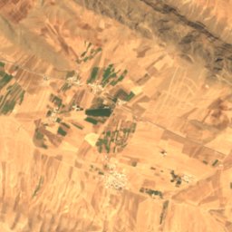
Satellite: Sentinel-2 cloudless 2016 by EOX IT Services GmbH · CC BY 4.0 · Contains modified Copernicus Sentinel data 2016
 Keeyow Lake
LakeKhorramabad, Lorestan Province
Estakhr-e Maşnū‘ī-ye Sarāb-e Kīv
LakeBest Apr–May · Oct
Elevation–above sea level
Area–surface
Nearest townKhorramabad2.3 km
33.51° N, 48.35° EUTC+3:30 · Iran Standard Time
When to goKhorramabad · weather score
Best timeApr–May · Oct
October: high / low25° / 11°
Lake
Estakhr-e Maşnū‘ī-ye Sarāb-e Kīv in brief
Estakhr-e Maşnū‘ī-ye Sarāb-e Kīv is a lake in Khorramabad, Lorestan Province, Iran.
The nearest town in the atlas is Khorramabad, 2.3 km to the S, where the weather is best in April, May and October.
Weather nearby now
Forecast for Khorramabad21°
Sunny now
Today
22 Oct
25°
16°
1 mm
Fri
23 Oct
26°
13°
Sat
24 Oct
26°
13°
Sun
25 Oct
26°
12°
Mon
26 Oct
25°
12°
Model run 00:00 UTCRefreshed several times a day
Map
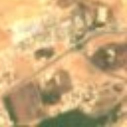
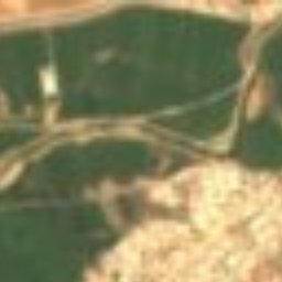
Estakhr-e Maşnū‘ī-ye Sarāb-e Kīv from above
Nature nearbyAll of Iran

Stay nearby
Towns close by

Photo: Arosha-photo (Reza Sobhai) · CC BY-SA 4.0 · Wikimedia CommonsReport this photo · linked, not stored
Khorramabad
Lorestan Province · 2.3 km S
25°Oct high
1wet day
98score

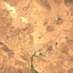
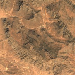
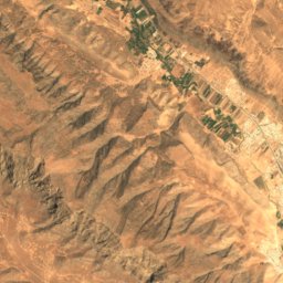
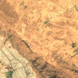
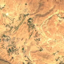
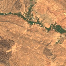
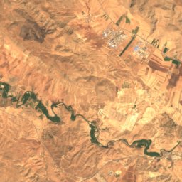
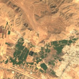
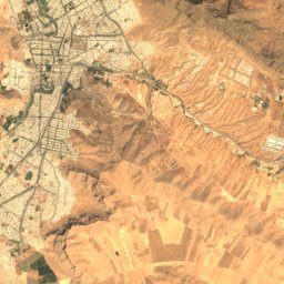
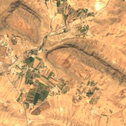
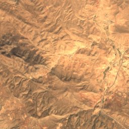
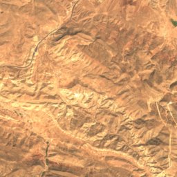
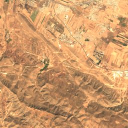
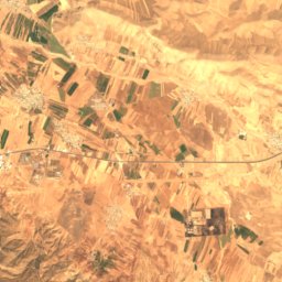
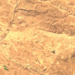
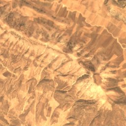
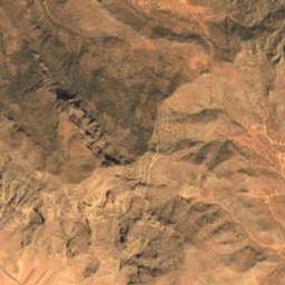
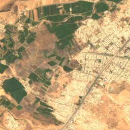
Satellite: Sentinel-2 cloudless 2016 by EOX IT Services GmbH · CC BY 4.0 · Contains modified Copernicus Sentinel data 2016
Kaveh Kali
Lorestan Province · 7.3 km SW
25°Oct high
1wet day
98score
Around here
Khorramabad and around
Photo: Arosha-photo (Reza Sobhai) · CC BY-SA 4.0 · Wikimedia CommonsReport this photo · linked, not stored
Khorramabad
Lorestan Province · Iran
Apr–May · Octbest months
38°July high
1,182 maltitude
Nature
Heritage

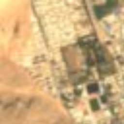
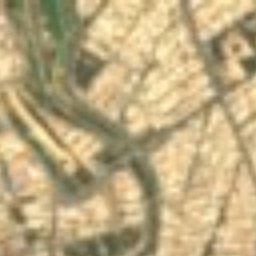
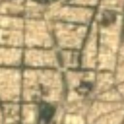
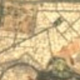
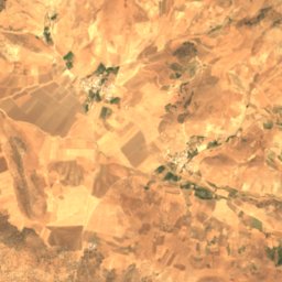
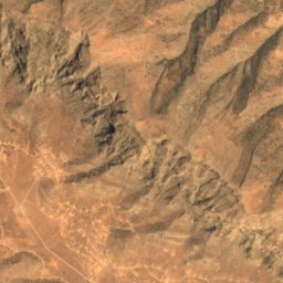
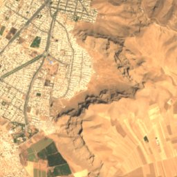
Satellite: Sentinel-2 cloudless 2016 by EOX IT Services GmbH · CC BY 4.0 · Contains modified Copernicus Sentinel data 2016
Falak-ol-Aflak
Iranian National Heritage


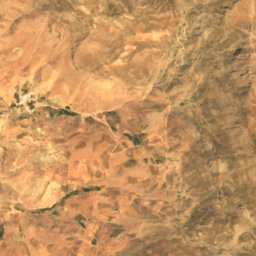
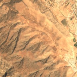
Satellite: Sentinel-2 cloudless 2016 by EOX IT Services GmbH · CC BY 4.0 · Contains modified Copernicus Sentinel data 2016
Khorramabad
Tentative World Heritage Site