
Photo: Miltos658 · CC BY-SA 3.0 · Wikimedia Commons
Vronta MonasteryReport this photo · linked, not stored
Vronta MonasteryReport this photo · linked, not stored
 Karvounis
monasteryKokkari, North Aegean
Vronta Monastery
archaeological site in Greeceprotected building in GreeceBuilt 1566
Typemonastery
Built1566
Best monthsJun · Sep–Octweather in Kokkari
37.77° N, 26.86° EUTC+3 · Eastern European Summer Time
Standing for460 years
built 1566today 2026
When to goKokkari · weather score
Best timeJun · Sep–Oct
October: high / low23° / 17°
iAbout
Vronta Monastery in brief
Vronta Monastery is a monastery in Kokkari, North Aegean, Greece.
It holds the designations archaeological site in Greece and protected building in Greece.
The monastery dates from 1566.
For a visit, the weather in Kokkari is best in June, September and October; in October afternoons average 23°.
Facts
- Type
- monastery
- Designation
- archaeological site in Greece
- protected building in Greece
- Built
- 1566
- Nearest town
- Kokkari
- Region
- North Aegean
- Coordinates
- 37.77343, 26.85530
iiLocation
Where to find it
iiiWhen to visit
Climate guideWeather in Kokkari
Month score for sightseeing
Best Jun · Sep–Oct52
Jan
58
Feb
71
Mar
83
Apr
84
May
87
Jun
84
Jul
81
Aug
92
Sep
88
Oct
82
Nov
60
Dec
ivNearby
All monuments in GreeceMore heritage close by
Around here
Kokkari and around

Nature









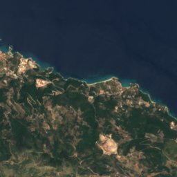
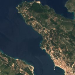
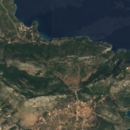
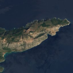
Satellite: Sentinel-2 cloudless 2016 by EOX IT Services GmbH · CC BY 4.0 · Contains modified Copernicus Sentinel data 2016
Agios Nikolaos Samou
Island

Heritage


Photo: GrigorisKoulouriotis · CC BY-SA 4.0 · Wikimedia CommonsReport this photo · linked, not stored
tunnel of Eupalinos
Historic Civil Engineering Landmark

Satellite: Sentinel-2 cloudless 2016 by EOX IT Services GmbH · CC BY 4.0 · Contains modified Copernicus Sentinel data 2016
Heraion of Samos
part of UNESCO World Heritage Site
Museums

Archaeological Museum of Vathi at Samos
Archaeological museum · 1912

Archaeological Museum of Pythagoreio
Archaeological museum


Satellite: Sentinel-2 cloudless 2016 by EOX IT Services GmbH · CC BY 4.0 · Contains modified Copernicus Sentinel data 2016