
Photo: Wikipedia ce · CC BY-SA 3.0 · Wikimedia Commons
PythagoreionReport this photo · linked, not stored
PythagoreionReport this photo · linked, not stored

Photo: GrigorisKoulouriotis · CC BY-SA 4.0 · Wikimedia Commons
tunnel of EupalinosReport this photo · linked, not stored
tunnel of Eupalinostunnel of EupalinosReport this photo · linked, not stored
ancient cityPythagoreio, North Aegean
Pythagoreion
part of UNESCO World Heritage Site
Typeancient city
Built–
Best monthsJun–Jul · Sepweather in Pythagoreio
37.69° N, 26.94° EUTC+2 · Eastern European Standard Time
When to goPythagoreio · weather score
Best timeJun–Jul · Sep
October: high / low23° / 18°
iAbout
Pythagoreion in brief
Pythagoreion is an ancient city in Pythagoreio, North Aegean, Greece.
It holds the designation part of UNESCO World Heritage Site.
For a visit, the weather in Pythagoreio is best in June, July and September; in October afternoons average 23°.
Facts
- Type
- ancient city
- Designation
- part of UNESCO World Heritage Site
- Nearest town
- Pythagoreio
- Region
- North Aegean
- Coordinates
- 37.69000, 26.94255
iiLocation
Where to find it
iiiWhen to visit
Climate guideWeather in Pythagoreio
Month score for sightseeing
Best Jun–Jul · Sep53
Jan
59
Feb
72
Mar
83
Apr
84
May
90
Jun
88
Jul
85
Aug
93
Sep
88
Oct
82
Nov
62
Dec
ivNearby
All monuments in GreeceMore heritage close by
Photo: GrigorisKoulouriotis · CC BY-SA 4.0 · Wikimedia CommonsReport this photo · linked, not stored
tunnel of Eupalinos
1.2 km NW
Historic Civil Engineering Landmark
Around here
Pythagoreio and around

Photo: Njaker at the English Wikipedia · CC BY-SA 3.0 · Wikimedia CommonsReport this photo · linked, not stored
Pythagoreio
North Aegean · Greece
Jun–Jul · Sepbest months
28°July high
7 maltitude
Nature
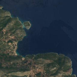



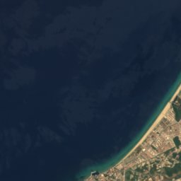
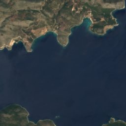

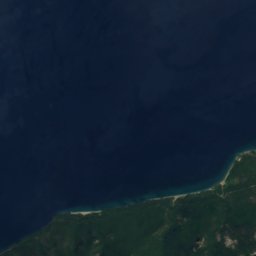
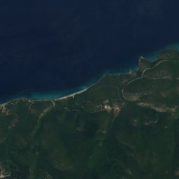
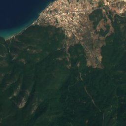
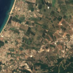
Satellite: Sentinel-2 cloudless 2016 by EOX IT Services GmbH · CC BY 4.0 · Contains modified Copernicus Sentinel data 2016
Dilek Peninsula-Büyük Menderes Delta National Park
National park
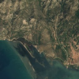
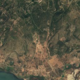
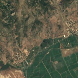
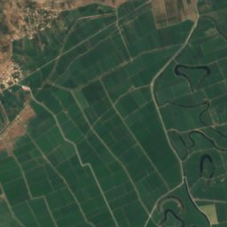



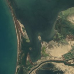
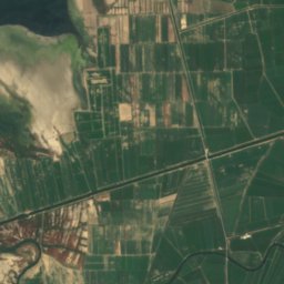
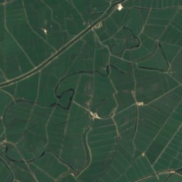
Satellite: Sentinel-2 cloudless 2016 by EOX IT Services GmbH · CC BY 4.0 · Contains modified Copernicus Sentinel data 2016
Lake Dil
Lake




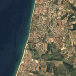
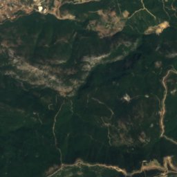
Satellite: Sentinel-2 cloudless 2016 by EOX IT Services GmbH · CC BY 4.0 · Contains modified Copernicus Sentinel data 2016
Cave of Zeus, Aydın
Cave


Heritage
Photo: GrigorisKoulouriotis · CC BY-SA 4.0 · Wikimedia CommonsReport this photo · linked, not stored
tunnel of Eupalinos
Historic Civil Engineering Landmark


Satellite: Sentinel-2 cloudless 2016 by EOX IT Services GmbH · CC BY 4.0 · Contains modified Copernicus Sentinel data 2016
Heraion of Samos
part of UNESCO World Heritage Site
Museums

Archaeological Museum of Pythagoreio
Archaeological museum



Satellite: Sentinel-2 cloudless 2016 by EOX IT Services GmbH · CC BY 4.0 · Contains modified Copernicus Sentinel data 2016
Folklore Museum, Pythagoreio


Archaeological Museum of Vathi at Samos
Archaeological museum · 1912