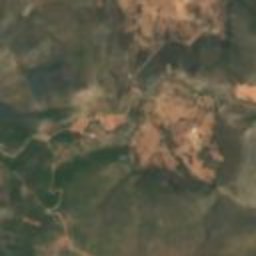
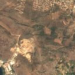
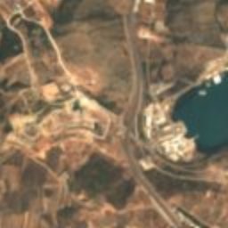
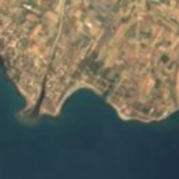
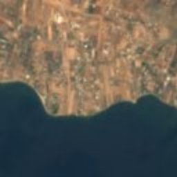
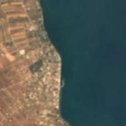





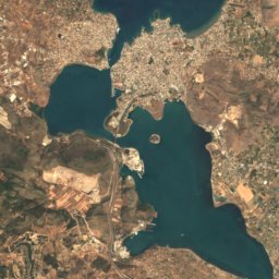
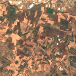
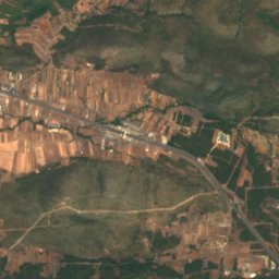
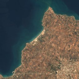
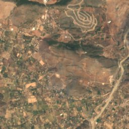
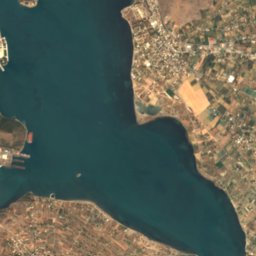
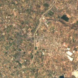
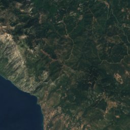
Satellite: Sentinel-2 cloudless 2016 by EOX IT Services GmbH · CC BY 4.0 · Contains modified Copernicus Sentinel data 2016
graveVasilikón, Central Greece
Lefkandi
archaeological site in Greece
Typegrave
Built–
Best monthsApr–May · Octweather in Vasilikón
38.41° N, 23.67° EUTC+2 · Eastern European Standard Time
When to goVasilikón · weather score
Best timeApr–May · Oct
October: high / low24° / 16°
iAbout
Lefkandi in brief
Lefkandi is a grave in Vasilikón, Central Greece, Greece.
It holds the designation archaeological site in Greece.
For a visit, the weather in Vasilikón is best in April, May and October; in October afternoons average 24°.
Facts
- Type
- grave
- Designation
- archaeological site in Greece
- Nearest town
- Vasilikón
- Region
- Central Greece
- Coordinates
- 38.41320, 23.67282
iiLocation
Where to find it
iiiWhen to visit
Climate guideWeather in Vasilikón
Month score for sightseeing
Best Apr–May · Oct43
Jan
53
Feb
73
Mar
87
Apr
84
May
63
Jun
60
Jul
61
Aug
70
Sep
86
Oct
76
Nov
49
Dec
Around here
Vasilikón and around
Nature

Mountains

Photo: Εγώ / Γιώργος R.21 at Greek Wikipedia · CC BY-SA 3.0 gr · Wikimedia CommonsReport this photo · linked, not stored
Dirfi
1,743 m
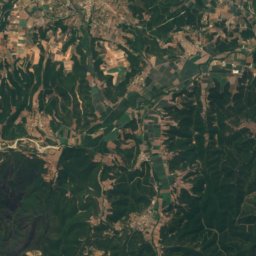
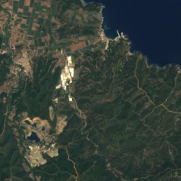
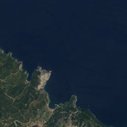

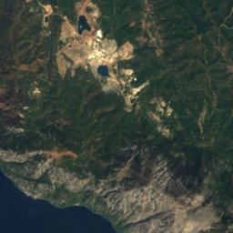
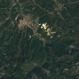
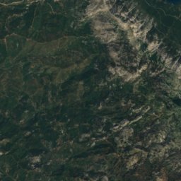
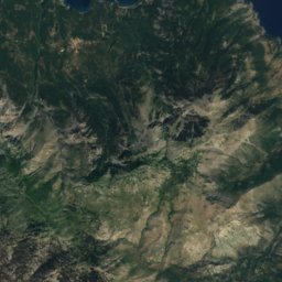
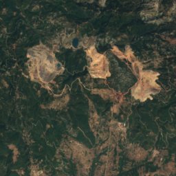
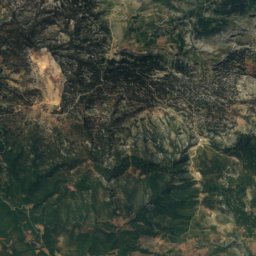
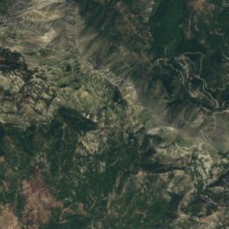
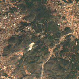
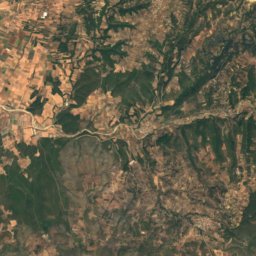
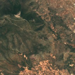
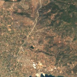
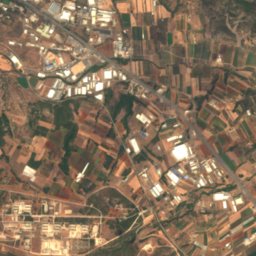
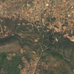
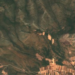
Satellite: Sentinel-2 cloudless 2016 by EOX IT Services GmbH · CC BY 4.0 · Contains modified Copernicus Sentinel data 2016
Pixaria
1,351 m

Heritage


Photo: Mark Landon (photographed in 1991; digitized in 2021) · CC BY 4.0 · Wikimedia CommonsReport this photo · linked, not stored
Aulis
archaeological site in Greece

Museums


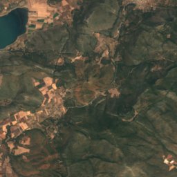
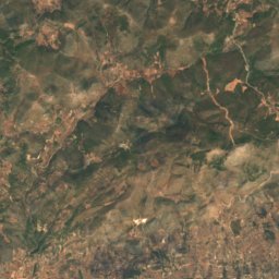
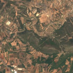
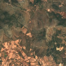
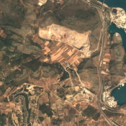
Satellite: Sentinel-2 cloudless 2016 by EOX IT Services GmbH · CC BY 4.0 · Contains modified Copernicus Sentinel data 2016
Archaeological Museum of Eretria
Archaeological museum · 1960

Archaeological museum of Chalkida
Archaeological museum · 1902


