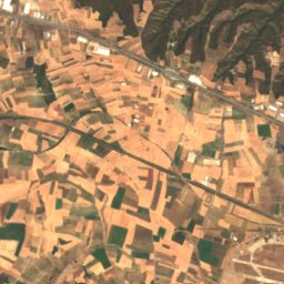
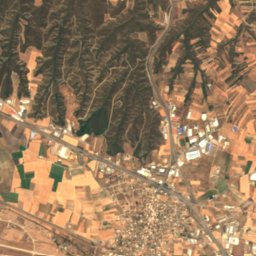
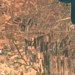
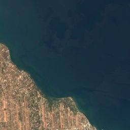





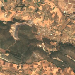
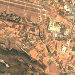
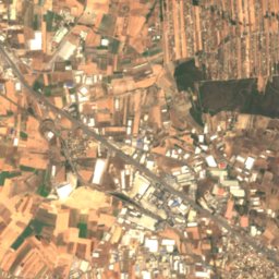
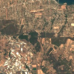
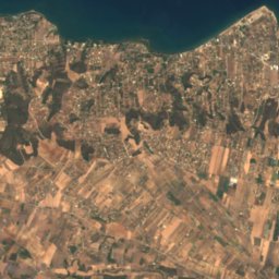
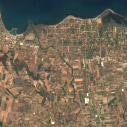
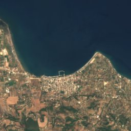
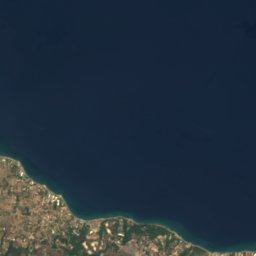
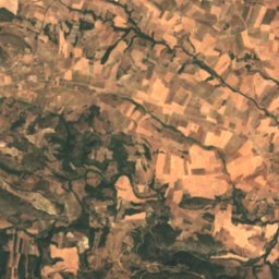
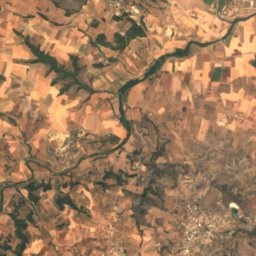
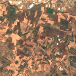
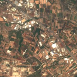
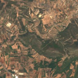
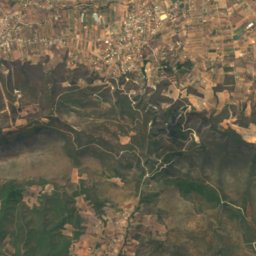
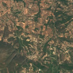
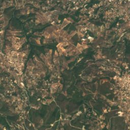
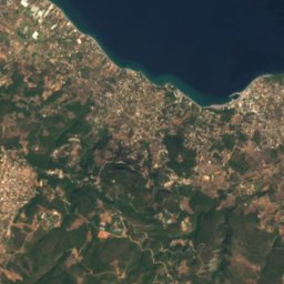
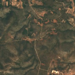
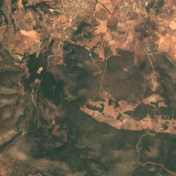
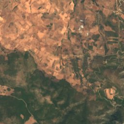
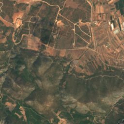
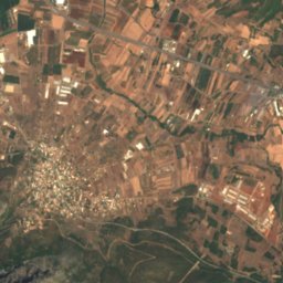
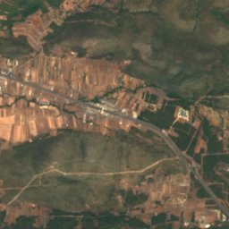
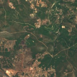
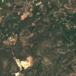
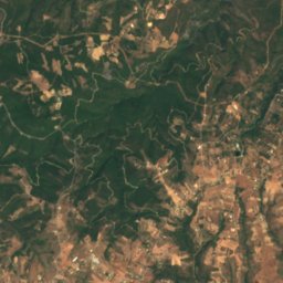
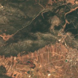
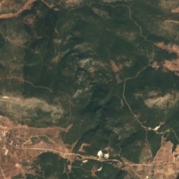
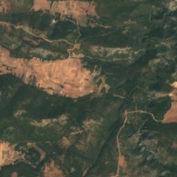
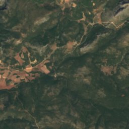
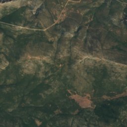
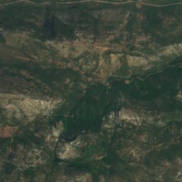
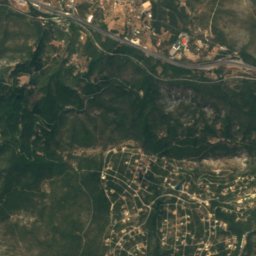
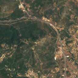
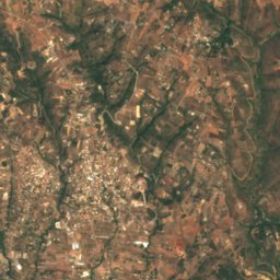
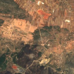
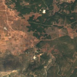
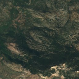
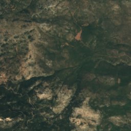
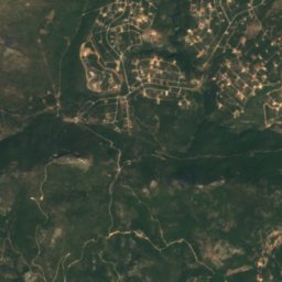
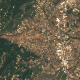
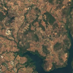
Satellite: Sentinel-2 cloudless 2016 by EOX IT Services GmbH · CC BY 4.0 · Contains modified Copernicus Sentinel data 2016
 Beletsi Lake

Photo: Jola i Dimitris · Public domain · Wikimedia Commons
Parnitha National ParkReport this photo · linked, not stored
Parnitha National ParkParnitha National ParkReport this photo · linked, not stored
 Bafi Refuge

Photo: Agiosthomas · CC BY-SA 4.0 · Wikimedia Commons
Asopos, AtticaReport this photo · linked, not stored
Asopos, AtticaAsopos, AtticaReport this photo · linked, not stored
RiverMalakasa, Attica
Brychon
RiverBest Apr–May · Oct
Elevation–above sea level
Area–surface
Nearest townMalakasa4.7 km
38.25° N, 23.75° EUTC+3 · Eastern European Summer Time
When to goMalakasa · weather score
Best timeApr–May · Oct
October: high / low23° / 14°
River
Brychon in brief
Brychon is a river in Malakasa, Attica, Greece.
The nearest town in the atlas is Malakasa, 4.7 km to the E, where the weather is best in April, May and October.
Weather nearby now
Forecast for Malakasa23°
Sunny now
Today
22 Oct
26°
17°
1 mm
Fri
23 Oct
22°
17°
1 mm
Sat
24 Oct
21°
15°
Sun
25 Oct
20°
14°
Mon
26 Oct
19°
14°
4 mm
Model run 00:00 UTCRefreshed several times a day
When to go
Climate of MalakasaThe best months around Brychon
Month score in Malakasa
Comfort, dry days and sunshine · out of 10039
Jan
50
Feb
72
Mar
88
Apr
87
May
65
Jun
61
Jul
63
Aug
73
Sep
86
Oct
79
Nov
46
Dec
Map
Brychon from above
Nature nearbyAll of Greece


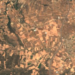
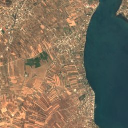
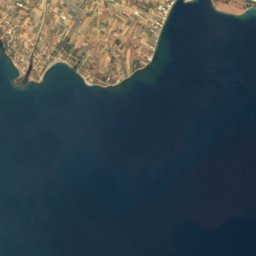
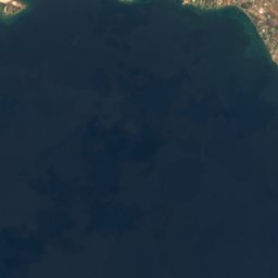
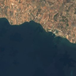
Satellite: Sentinel-2 cloudless 2016 by EOX IT Services GmbH · CC BY 4.0 · Contains modified Copernicus Sentinel data 2016
Summits nearbyMountains of Greece
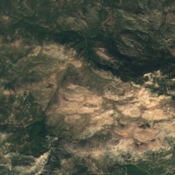
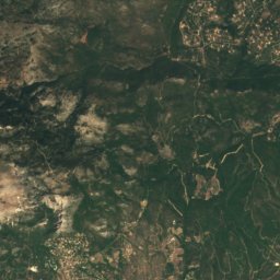
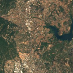
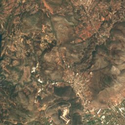
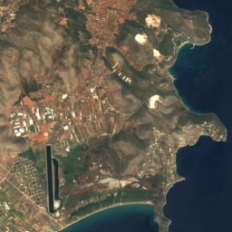
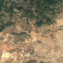
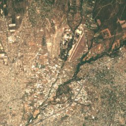
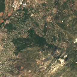
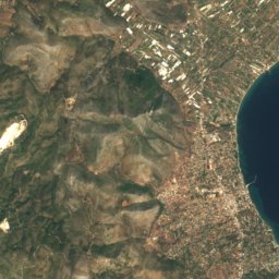
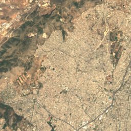
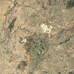
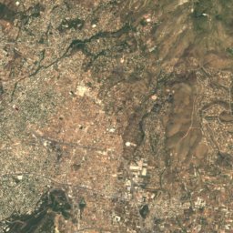
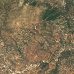
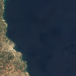
Satellite: Sentinel-2 cloudless 2016 by EOX IT Services GmbH · CC BY 4.0 · Contains modified Copernicus Sentinel data 2016
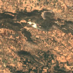
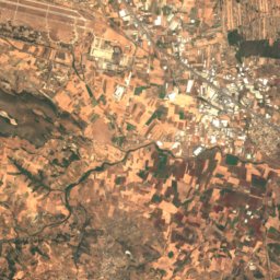
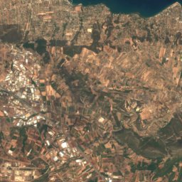
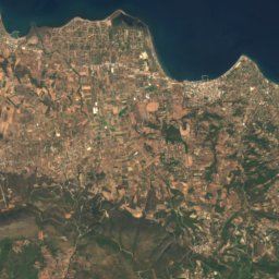
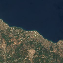
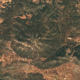
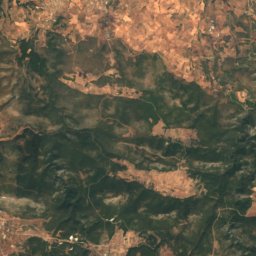
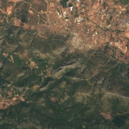
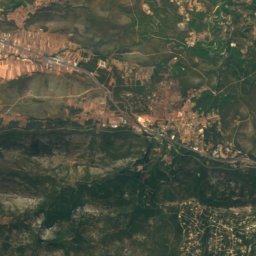
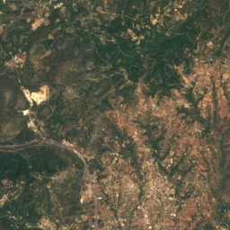
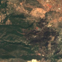
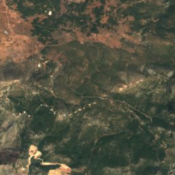
Satellite: Sentinel-2 cloudless 2016 by EOX IT Services GmbH · CC BY 4.0 · Contains modified Copernicus Sentinel data 2016
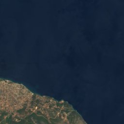
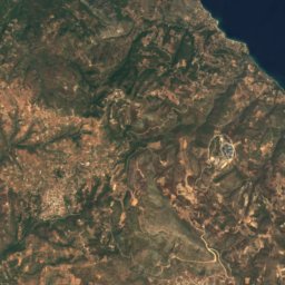
Satellite: Sentinel-2 cloudless 2016 by EOX IT Services GmbH · CC BY 4.0 · Contains modified Copernicus Sentinel data 2016
Satellite: Sentinel-2 cloudless 2016 by EOX IT Services GmbH · CC BY 4.0 · Contains modified Copernicus Sentinel data 2016
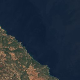
Stay nearby
Towns close by
Satellite: Sentinel-2 cloudless 2016 by EOX IT Services GmbH · CC BY 4.0 · Contains modified Copernicus Sentinel data 2016
Malakasa
Attica · 4.7 km E
23°Oct high
6wet days
86score


Around here
Malakasa and around
Nature

Mountains

Satellite: Sentinel-2 cloudless 2016 by EOX IT Services GmbH · CC BY 4.0 · Contains modified Copernicus Sentinel data 2016
Penteliko Mountain
1,109 m
Heritage

Church of Agioi Tessarakonta, Sykamino
ancient monument in Greece
Satellite: Sentinel-2 cloudless 2016 by EOX IT Services GmbH · CC BY 4.0 · Contains modified Copernicus Sentinel data 2016
Amphiareion of Oropos
archaeological site in Greece
Museums


Satellite: Sentinel-2 cloudless 2016 by EOX IT Services GmbH · CC BY 4.0 · Contains modified Copernicus Sentinel data 2016
Zygomalas Museum
1937


Satellite: Sentinel-2 cloudless 2016 by EOX IT Services GmbH · CC BY 4.0 · Contains modified Copernicus Sentinel data 2016
Hellenic Bicycle Museum
Bicycle museum · 2014