
Photo: Photo: Andreas Praefcke · CC BY 3.0 · Wikimedia Commons
WeinstadelReport this photo · linked, not stored
WeinstadelReport this photo · linked, not stored

Photo: Schlaier · CC BY-SA 3.0 · Wikimedia Commons
Wasserturm (Nürnberg)Report this photo · linked, not stored
Wasserturm (Nürnberg)Wasserturm (Nürnberg)Report this photo · linked, not stored

Photo: Steffen Prößdorf · CC BY-SA 3.0 de · Wikimedia Commons
HenkerturmReport this photo · linked, not stored
HenkerturmHenkerturmReport this photo · linked, not stored

Photo: Janericloebe · Public domain · Wikimedia Commons
MaxbrückeReport this photo · linked, not stored
MaxbrückeMaxbrückeReport this photo · linked, not stored

Photo: Joachim Thiel (Nbg.) a.k.a. Moritz-Aurel at de.wikipedia · CC BY-SA 3.0 · Wikimedia Commons
Dürer-Pirckheimer-BrunnenReport this photo · linked, not stored
Dürer-Pirckheimer-BrunnenDürer-Pirckheimer-BrunnenReport this photo · linked, not stored
buildingNuremberg, Bavaria
Weinstadel
architectural heritage monument in Bavaria
Typebuilding
Built–
Best monthsJun · Aug–Sepweather in Nuremberg
49.45° N, 11.07° EUTC+2 · Central European Summer Time
When to goNuremberg · weather score
Best timeJun · Aug–Sep
October: high / low14° / 5°
iAbout
Weinstadel in brief
Weinstadel is a building in Nuremberg, Bavaria, Germany.
It holds the designation architectural heritage monument in Bavaria.
For a visit, the weather in Nuremberg is best in June, August and September; in October afternoons average 14°.
iiLocation
Where to find it
ivNearby
All monuments in GermanyMore heritage close by
Photo: Joachim Thiel (Nbg.) a.k.a. Moritz-Aurel at de.wikipedia · CC BY-SA 3.0 · Wikimedia CommonsReport this photo · linked, not stored
Dürer-Pirckheimer-Brunnen
under 100 m N
architectural heritage monument in Bavaria

Satellite: Sentinel-2 cloudless 2016 by EOX IT Services GmbH · CC BY 4.0 · Contains modified Copernicus Sentinel data 2016
Unschlitthaus (Nuremberg-St. Lorenz)
0.1 km S
architectural heritage monument in Bavaria
Around here
Nuremberg and around

Nature


Mountains
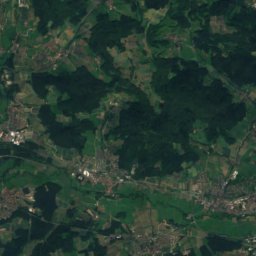
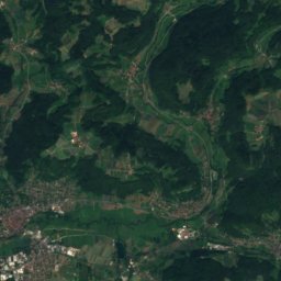
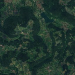
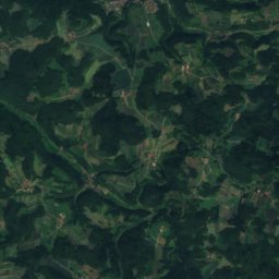
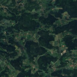
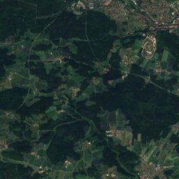
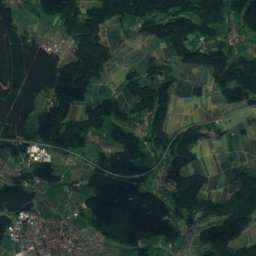
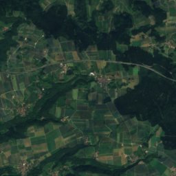
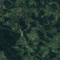
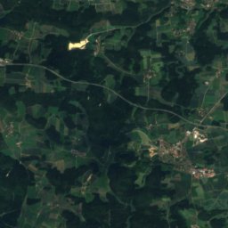
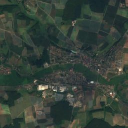
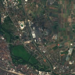
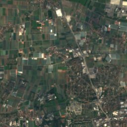
Satellite: Sentinel-2 cloudless 2016 by EOX IT Services GmbH · CC BY 4.0 · Contains modified Copernicus Sentinel data 2016
Poppberg
653 m
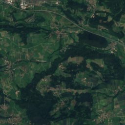
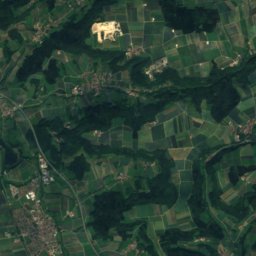
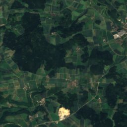
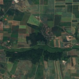
Satellite: Sentinel-2 cloudless 2016 by EOX IT Services GmbH · CC BY 4.0 · Contains modified Copernicus Sentinel data 2016
Haunberg
638 m
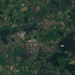
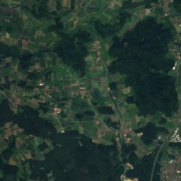
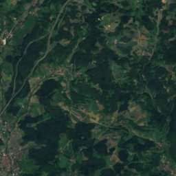
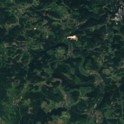
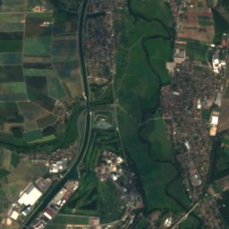
Satellite: Sentinel-2 cloudless 2016 by EOX IT Services GmbH · CC BY 4.0 · Contains modified Copernicus Sentinel data 2016
Hohe Reuth
637 m · Franconian Jura
Heritage

St. Sebaldus, Nuremberg
architectural heritage monument in Bavaria · 1225

Frauenkirche, Nuremberg
architectural heritage monument in Bavaria · 1352

Staatstheater Nürnberg
architectural heritage monument in Bavaria · 1905
Museums
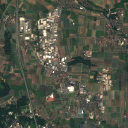
Satellite: Sentinel-2 cloudless 2016 by EOX IT Services GmbH · CC BY 4.0 · Contains modified Copernicus Sentinel data 2016
Germanisches Nationalmuseum
Art museum · 1852


