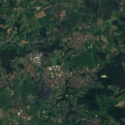
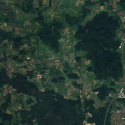
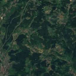
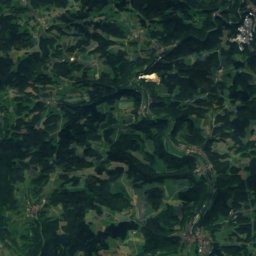
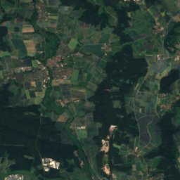
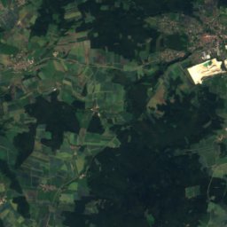
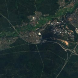
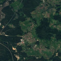
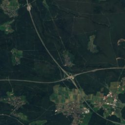
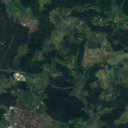
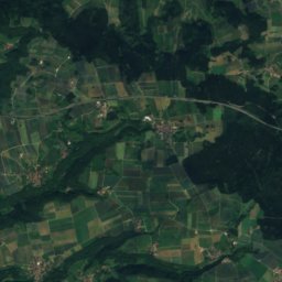
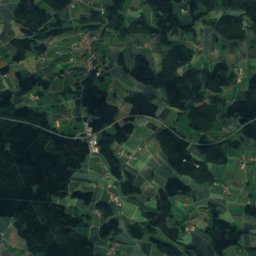
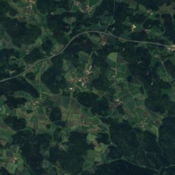
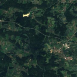
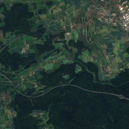
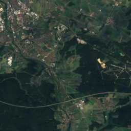
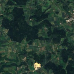
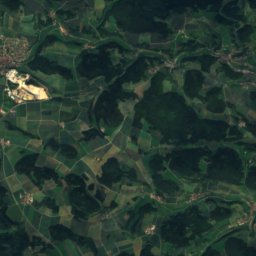
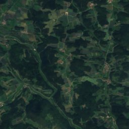
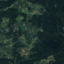
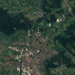
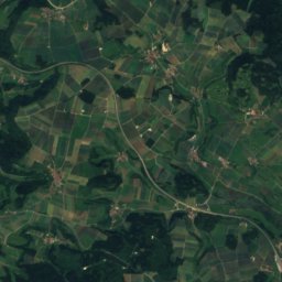
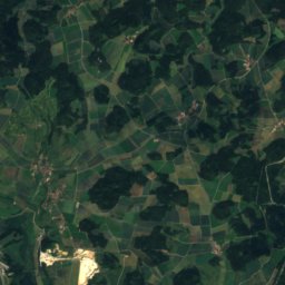
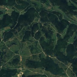
Satellite: Sentinel-2 cloudless 2016 by EOX IT Services GmbH · CC BY 4.0 · Contains modified Copernicus Sentinel data 2016
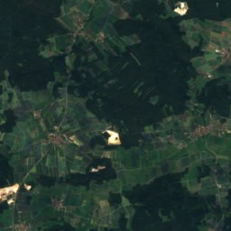
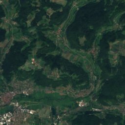
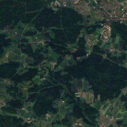
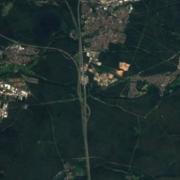
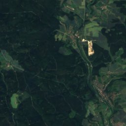
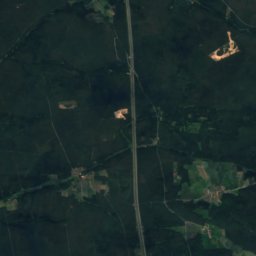
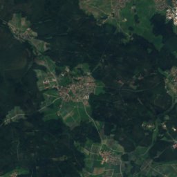
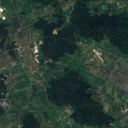
 Ossinger
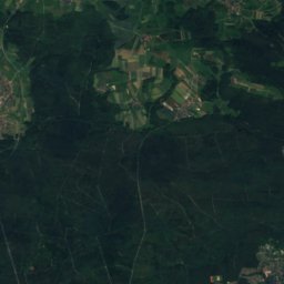
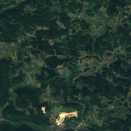
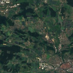
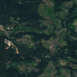
 Zantberg

Photo: B14er · CC BY-SA 4.0 · Wikimedia Commons
Hochberg, BavariaReport this photo · linked, not stored
Hochberg, BavariaHochberg, BavariaReport this photo · linked, not stored
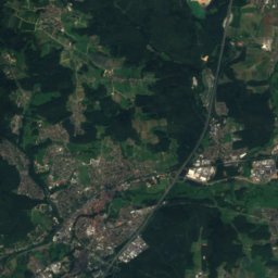
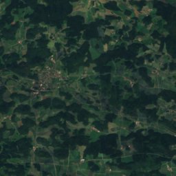
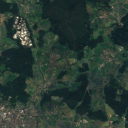
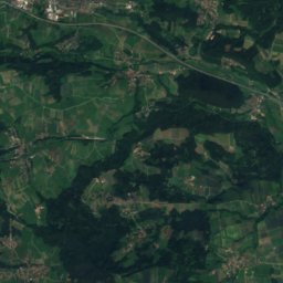
 Houbirg
Bavaria · GermanySummit weather, forecast and climate
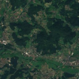
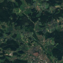
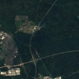
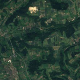
Poppberg
653 mSnow likely Jan–Feb · Dec
Elevation653 mabove sea level
Prominence200 mindependent height
Isolation32 kmto a higher summit
Summit, Jul23°average high
49.41° N, 11.59° EElevation 653 mUTC+2 · Central European Summer Time
From the valley to the top
- Summit653 m
- Mid-mountain330 m
- Valley0 m
Freezing level in October: above the summit
iThe mountain
Poppberg in brief
Poppberg rises to 653 m, Bavaria, Germany. Its topographic prominence — the height it stands above the lowest contour enclosing a higher summit — is 200 m.
At the summit, July is the mildest month with average highs of 23°, while nights fall below freezing in 4 months of the year.
The nearest town in the atlas is Alfeld, 3.4 km to the NW at 481 m.
iiForecast
Weather at three heights
Temperatures are adjusted to each height; summits are usually colder and windier than the valley forecast suggests.
Loading the latest forecast…
Loading the latest forecast…
Loading the latest forecast…
iiiSummit climate
The top of Poppberg by month
Summit temperatures and precipitation
Climate normals for the summit area (~1 km grid), station-adjusted| Month | Jan | Feb | Mar | Apr | May | Jun | Jul | Aug | Sep | Oct | Nov | Dec |
|---|---|---|---|---|---|---|---|---|---|---|---|---|
| Average high | 2° | 4° | 8° | 13° | 18° | 21° | 23° | 23° | 18° | 13° | 6° | 2° |
| Average low | -3° | -3° | -1° | 3° | 7° | 10° | 12° | 12° | 8° | 4° | 1° | -2° |
| Precipitation | 82 mm | 68 mm | 76 mm | 57 mm | 84 mm | 89 mm | 100 mm | 82 mm | 74 mm | 76 mm | 78 mm | 92 mm |
| Cloud cover | 56% | 51% | 50% | 43% | 42% | 40% | 36% | 36% | 42% | 48% | 59% | 60% |
| Daylight | 8h 37 | 10h 08 | 11h 50 | 13h 43 | 15h 19 | 16h 14 | 15h 52 | 14h 28 | 12h 39 | 10h 51 | 9h 09 | 8h 12 |
| Month score | 25 | 31 | 29 | 54 | 71 | 71 | 70 | 75 | 74 | 43 | 24 | 20 |
Snow and freezing level
Average height of the 0 °C level from the summit normals (6.5 °C per km); snow months have a summit mean at or below +1 °C| Month | Jan | Feb | Mar | Apr | May | Jun | Jul | Aug | Sep | Oct | Nov | Dec |
|---|---|---|---|---|---|---|---|---|---|---|---|---|
| Freezing level | 550 m | 700 m | 1,200 m | 1,850 m | 2,550 m | 3,050 m | 3,350 m | 3,300 m | 2,650 m | 1,950 m | 1,150 m | 650 m |
| Summit | ❄ snow | ❄ snow | above 0 °C | above 0 °C | above 0 °C | above 0 °C | above 0 °C | above 0 °C | above 0 °C | above 0 °C | above 0 °C | ❄ snow |
ivTerrain
Poppberg in 3D
vNeighbours
Mountains of GermanyPeaks nearby
| Mountain | Elevation | Prominence | Distance | July summit high |
|---|---|---|---|---|
| Ossinger | 651 m | 110 m | 21 km N | 23° |
| Zantberg | 647 m | – | 18 km N | 23° |
| Haunberg | 638 m | 102 m | 6.1 km S | 23° |
| Hochberg, Bavaria | 619 m | 104 m | 8.4 km NW | 23° |
| Houbirg | 616 m | 100 m | 11 km NW | 23° |
| Arzberg | 612 m | – | 13 km NW | 23° |
| Dillberg | 595 m | – | 17 km SW | 24° |
| Dillberg (Berg) | 595 m | – | 18 km SW | 23° |
viBase towns
Where to stay nearby


Photo: The original uploader was Oxensepp at German Wikipedia. · CC BY-SA 2.0 de · Wikimedia CommonsReport this photo · linked, not stored
Illschwang
Bavaria · 8.2 km NE
13°Oct high
11wet days
41score

Around here
Alfeld and around
Nature

Photo: © Freak-Line-Community / Wikimedia Commons · CC BY-SA 3.0 · Wikimedia CommonsReport this photo · linked, not stored
Breitenbrunner Bach
River


Mountains
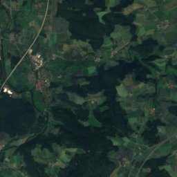
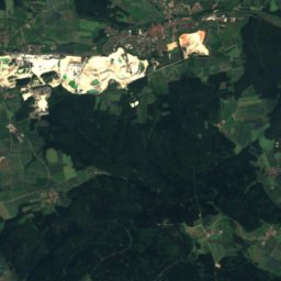
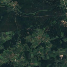
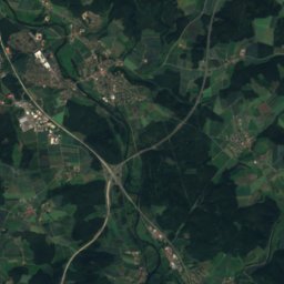
Satellite: Sentinel-2 cloudless 2016 by EOX IT Services GmbH · CC BY 4.0 · Contains modified Copernicus Sentinel data 2016
Rotbühl
673 m
Satellite: Sentinel-2 cloudless 2016 by EOX IT Services GmbH · CC BY 4.0 · Contains modified Copernicus Sentinel data 2016
Buchberg (Naabgebirge)
667 m
Satellite: Sentinel-2 cloudless 2016 by EOX IT Services GmbH · CC BY 4.0 · Contains modified Copernicus Sentinel data 2016
Johannisberg, Bavaria
652 m
Heritage

Schlosskirche in Happurg
architectural heritage monument in Bavaria · 1669

castle in Thalheim near Happurg
architectural heritage monument in Bavaria · 1709


Satellite: Sentinel-2 cloudless 2016 by EOX IT Services GmbH · CC BY 4.0 · Contains modified Copernicus Sentinel data 2016
Alfelder Windloch
natural monument
Museums

Satellite: Sentinel-2 cloudless 2016 by EOX IT Services GmbH · CC BY 4.0 · Contains modified Copernicus Sentinel data 2016
Dauphin-Sammlung
Automobile museum




Satellite: Sentinel-2 cloudless 2016 by EOX IT Services GmbH · CC BY 4.0 · Contains modified Copernicus Sentinel data 2016
Johann-Flierl-Museum






Satellite: Sentinel-2 cloudless 2016 by EOX IT Services GmbH · CC BY 4.0 · Contains modified Copernicus Sentinel data 2016
Kunstmuseum Hersbruck mit Skulpturengarten
Art museum