Skip to content
Destinations
Weather & climate
Nature
Outdoors
Culture
Events
Sky & live
Quelleturm
Photo: Janericloebe · CC BY 3.0 · Wikimedia Commons
QuelleturmReport this photo · linked, not stored
Erbschänke Muggenhof
Photo: Tilman2007 · CC BY-SA 4.0 · Wikimedia Commons
Erbschänke MuggenhofReport this photo · linked, not stored
Erbschänke Muggenhof
Erlöserkirche (Leyh)
Photo: Aarp65 · CC BY-SA 3.0 · Wikimedia Commons
Erlöserkirche (Leyh)Report this photo · linked, not stored
Erlöserkirche (Leyh)
Neuer Jüdischer Friedhof, Nuremberg
Photo: Janericloebe · CC BY 3.0 · Wikimedia Commons
Neuer Jüdischer Friedhof, NurembergReport this photo · linked, not stored
Neuer Jüdischer Friedhof, Nuremberg
Palace of Justice
Photo: Nicohofmann · CC BY-SA 3.0 · Wikimedia Commons
Palace of JusticeReport this photo · linked, not stored
Palace of Justice
towerNuremberg, Bavaria

Quelleturm

architectural heritage monument in Bavaria
Typetower
Built–
Best monthsJun · Aug–Sepweather in Nuremberg
49.46° N, 11.03° EUTC+1 · Central European Standard Time
When to goNuremberg · weather score
JanFebMarAprMayJunJulAugSepOctNovDec48October
Best timeJun · Aug–Sep
October: high / low14° / 5°
iAbout

Quelleturm in brief

Quelleturm is a tower in Nuremberg, Bavaria, Germany.

It holds the designation architectural heritage monument in Bavaria.

For a visit, the weather in Nuremberg is best in June, August and September; in October afternoons average 14°.

Nuremberg: weather and travel guide

Facts

Type
tower
Designation
architectural heritage monument in Bavaria
Nearest town
Nuremberg
Region
Bavaria
Coordinates
49.45620, 11.03090
iiLocation

Where to find it

iiiWhen to visit

Weather in Nuremberg

Climate guide

Month score for sightseeing

Best Jun · Aug–Sep
ivNearby

More heritage close by

All monuments in Germany
Erbschänke Muggenhof
Photo: Tilman2007 · CC BY-SA 4.0 · Wikimedia CommonsReport this photo · linked, not stored

Erbschänke Muggenhof

1.0 km NW
architectural heritage monument in Bavaria
Erbschänke Muggenhof
Erlöserkirche (Leyh)
Photo: Aarp65 · CC BY-SA 3.0 · Wikimedia CommonsReport this photo · linked, not stored

Erlöserkirche (Leyh)

1.0 km W
architectural heritage monument in Bavaria
Erlöserkirche (Leyh)
Neuer Jüdischer Friedhof, Nuremberg
Photo: Janericloebe · CC BY 3.0 · Wikimedia CommonsReport this photo · linked, not stored

Neuer Jüdischer Friedhof, Nuremberg

1.1 km N
architectural heritage monument in Bavaria
Neuer Jüdischer Friedhof, Nuremberg
Palace of Justice
Photo: Nicohofmann · CC BY-SA 3.0 · Wikimedia CommonsReport this photo · linked, not stored

Palace of Justice

1.1 km E
architectural heritage monument in Bavaria
Palace of Justice
Westfriedhof (Nürnberg)
Photo: user:UlrichAAB · CC BY-SA 3.0 · Wikimedia CommonsReport this photo · linked, not stored

Westfriedhof (Nürnberg)

1.3 km NE
Kulturdenkmal
Westfriedhof (Nürnberg)
Albrecht-Dürer-Gymnasium
Photo: André Karwath aka Aka · CC BY-SA 2.5 · Wikimedia CommonsReport this photo · linked, not stored

Albrecht-Dürer-Gymnasium

1.5 km E
architectural heritage monument in Bavaria
Albrecht-Dürer-Gymnasium
Around here

Nuremberg and around

Nuremberg
Photo: YuTrofimov · CC BY 3.0 · Wikimedia CommonsReport this photo · linked, not stored

Nuremberg

Bavaria · Germany
Jun · Aug–Sepbest months
25°July high
300 maltitude
Nuremberg

Nature

Goldbach (Pegnitz)
Photo: Achates · CC BY-SA 3.0 · Wikimedia CommonsReport this photo · linked, not stored
4.3 km SE

Goldbach (Pegnitz)

River
Goldbach (Pegnitz)
Fischbach (Pegnitz)
Photo: Derzno · CC BY 3.0 · Wikimedia CommonsReport this photo · linked, not stored
4.5 km SE

Fischbach (Pegnitz)

River · 323 m
Fischbach (Pegnitz)
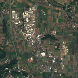
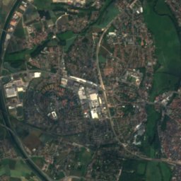
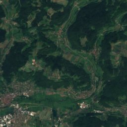
Satellite: Sentinel-2 cloudless 2016 by EOX IT Services GmbH · CC BY 4.0 · Contains modified Copernicus Sentinel data 2016
7.5 km NW

Pegnitz

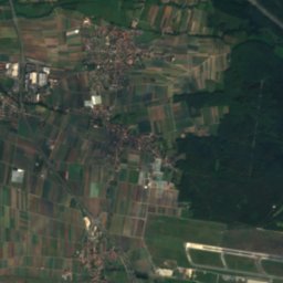
River · 285 m
Pegnitz

Mountains
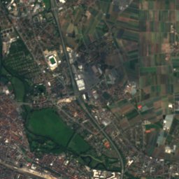
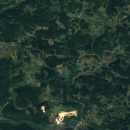
Satellite: Sentinel-2 cloudless 2016 by EOX IT Services GmbH · CC BY 4.0 · Contains modified Copernicus Sentinel data 2016
37 km E

Poppberg

653 m
Poppberg
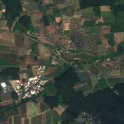
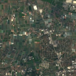
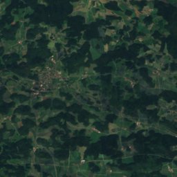
Satellite: Sentinel-2 cloudless 2016 by EOX IT Services GmbH · CC BY 4.0 · Contains modified Copernicus Sentinel data 2016
37 km E

Haunberg

638 m
Haunberg
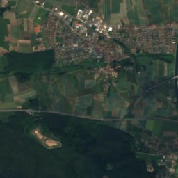
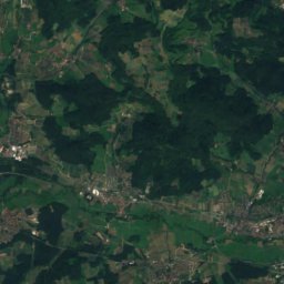
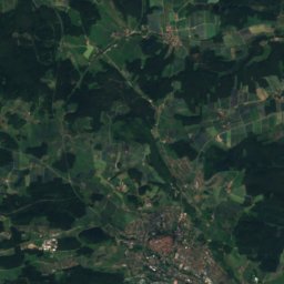
Satellite: Sentinel-2 cloudless 2016 by EOX IT Services GmbH · CC BY 4.0 · Contains modified Copernicus Sentinel data 2016
31 km NE

Hohe Reuth

637 m · Franconian Jura
Hohe Reuth

Heritage

St. Sebaldus, Nuremberg
Photo: Vitold Muratov · CC BY-SA 3.0 · Wikimedia CommonsReport this photo · linked, not stored
0.1 km NW

St. Sebaldus, Nuremberg

architectural heritage monument in Bavaria · 1225
St. Sebaldus, Nuremberg
Frauenkirche, Nuremberg
Photo: W. Bulach · CC BY-SA 4.0 · Wikimedia CommonsReport this photo · linked, not stored
under 100 m E

Frauenkirche, Nuremberg

architectural heritage monument in Bavaria · 1352
Frauenkirche, Nuremberg
Staatstheater Nürnberg
Photo: Diego Delso · CC BY-SA 3.0 · Wikimedia CommonsReport this photo · linked, not stored
0.9 km S

Staatstheater Nürnberg

architectural heritage monument in Bavaria · 1905
Staatstheater Nürnberg

Museums

Satellite: Sentinel-2 cloudless 2016 by EOX IT Services GmbH · CC BY 4.0 · Contains modified Copernicus Sentinel data 2016
0.7 km S

Germanisches Nationalmuseum

Art museum · 1852
Germanisches Nationalmuseum
Nuremberg Transport Museum
Photo: Taxiarchos228 · FAL · Wikimedia CommonsReport this photo · linked, not stored
1.0 km S

Nuremberg Transport Museum

Railway museum · 1899
Nuremberg Transport Museum
Neues Museum Nürnberg
Photo: Rufus46 · CC BY-SA 3.0 · Wikimedia CommonsReport this photo · linked, not stored
0.7 km S

Neues Museum Nürnberg

Art museum · 2000
Neues Museum Nürnberg