
Photo: Heinz K. S. · CC BY-SA 4.0 · Wikimedia Commons
EckernbaumReport this photo · linked, not stored
EckernbaumReport this photo · linked, not stored

Photo: Heinz K. S. · CC BY-SA 4.0 · Wikimedia Commons
Historische GrabsteineReport this photo · linked, not stored
Historische GrabsteineHistorische GrabsteineReport this photo · linked, not stored

Photo: Heinz K. S. · CC BY-SA 4.0 · Wikimedia Commons
Evangelische Pfarrkirche DatterodeReport this photo · linked, not stored
Evangelische Pfarrkirche DatterodeEvangelische Pfarrkirche DatterodeReport this photo · linked, not stored

Photo: Kristin Weber · CC BY-SA 2.5 · Wikimedia Commons
BoyneburgReport this photo · linked, not stored
BoyneburgBoyneburgReport this photo · linked, not stored

Photo: Wanfried-Dublin · CC BY-SA 4.0 · Wikimedia Commons
Jüdischer Friedhof ReichensachsenReport this photo · linked, not stored
Jüdischer Friedhof ReichensachsenJüdischer Friedhof ReichensachsenReport this photo · linked, not stored
Tree monumentWeißenborn, Hesse
Eckernbaum
Single natural monument in Hesse
TypeTree monument
Built–
Best monthsMay · Aug–Sepweather in Weißenborn
51.12° N, 10.02° EUTC+2 · Central European Summer Time
When to goWeißenborn · weather score
Best timeMay · Aug–Sep
October: high / low13° / 5°
iAbout
Eckernbaum in brief
Eckernbaum is a tree monument in Weißenborn, Hesse, Germany.
It holds the designation Single natural monument in Hesse.
For a visit, the weather in Weißenborn is best in May, August and September; in October afternoons average 13°.
Facts
- Type
- Tree monument
- Designation
- Single natural monument in Hesse
- Nearest town
- Weißenborn
- Region
- Hesse
- Coordinates
- 51.11670, 10.02405
iiLocation
Where to find it
iiiWhen to visit
Climate guideWeather in Weißenborn
Month score for sightseeing
Best May · Aug–Sep14
Jan
17
Feb
19
Mar
52
Apr
64
May
63
Jun
64
Jul
66
Aug
69
Sep
39
Oct
15
Nov
12
Dec
ivNearby
All monuments in GermanyMore heritage close by
Evangelische Pfarrkirche Datterode
0.3 km N
cultural heritage monument in Hesse
Jüdischer Friedhof Reichensachsen
2.5 km NW
cultural heritage monument in Hesse




Satellite: Sentinel-2 cloudless 2016 by EOX IT Services GmbH · CC BY 4.0 · Contains modified Copernicus Sentinel data 2016
Burg Röhrda
2.7 km SE
cultural heritage monument in Hesse
Around here
Weißenborn and around

Photo: User: Celsius at wikivoyage shared · CC BY-SA 3.0 · Wikimedia CommonsReport this photo · linked, not stored
Weißenborn
Hesse · Germany
May · Aug–Sepbest months
24°July high
267 maltitude
Nature

Photo: Michael Fiegle at German Wikipedia · CC BY-SA 3.0 · Wikimedia CommonsReport this photo · linked, not stored
Frieda
River · 164 m


Mountains

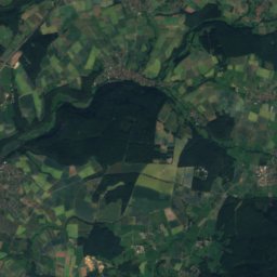
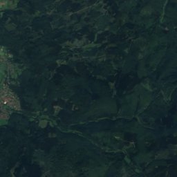
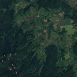
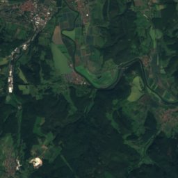
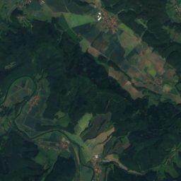
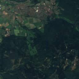
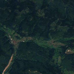
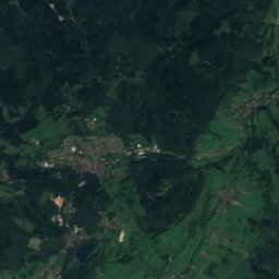
Satellite: Sentinel-2 cloudless 2016 by EOX IT Services GmbH · CC BY 4.0 · Contains modified Copernicus Sentinel data 2016
Kasseler Kuppe
754 m

Photo: © Heinrich Stürzl / Wikimedia Commons · CC BY-SA 4.0 · Wikimedia CommonsReport this photo · linked, not stored
Hoher Meissner
753 m
Heritage

Evangelische Kirche Weißenborn (Hessen)
cultural heritage monument in Hesse · 1577


Evangelische Kirche Rambach (Weißenborn)
cultural heritage monument in Hesse
Museums




Satellite: Sentinel-2 cloudless 2016 by EOX IT Services GmbH · CC BY 4.0 · Contains modified Copernicus Sentinel data 2016
Heimatmuseum Treffurt
Local museum








Satellite: Sentinel-2 cloudless 2016 by EOX IT Services GmbH · CC BY 4.0 · Contains modified Copernicus Sentinel data 2016
Dokumentationszentrum zur deutschen Nachkriegsgeschichte
Satellite: Sentinel-2 cloudless 2016 by EOX IT Services GmbH · CC BY 4.0 · Contains modified Copernicus Sentinel data 2016