
Photo: travelgeorgia.ru · CC BY-SA 3.0 · Wikimedia Commons
SamshvildeReport this photo · linked, not stored
SamshvildeReport this photo · linked, not stored
ancient cityTetritsqaro, Kvemo Kartli
Samshvilde
Cultural Monuments of National Importance of GeorgiaBuilt 300 BC
Typeancient city
Built300 BC
Best monthsJul–Sepweather in Tetritsqaro
41.51° N, 44.51° EUTC+4 · Georgia Standard Time
Standing for2,326 years
built 300 BCtoday 2026
When to goTetritsqaro · weather score
Best timeJul–Sep
October: high / low16° / 5°
iAbout
Samshvilde in brief
Samshvilde is an ancient city in Tetritsqaro, Kvemo Kartli, Georgia.
It holds the designation Cultural Monuments of National Importance of Georgia.
The ancient city dates from 300 bc.
For a visit, the weather in Tetritsqaro is best in July, August and September; in October afternoons average 16°.
Facts
- Type
- ancient city
- Designation
- Cultural Monuments of National Importance of Georgia
- Built
- 300 BC
- Nearest town
- Tetritsqaro
- Region
- Kvemo Kartli
- Coordinates
- 41.50722, 44.50556
iiLocation
Where to find it
iiiWhen to visit
Climate guideWeather in Tetritsqaro
Month score for sightseeing
Best Jul–Sep40
Jan
40
Feb
31
Mar
48
Apr
62
May
69
Jun
75
Jul
74
Aug
81
Sep
65
Oct
37
Nov
43
Dec
ivNearby
All monuments in GeorgiaMore heritage close by

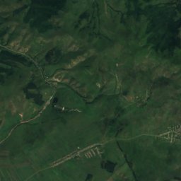
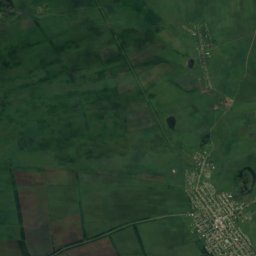
Satellite: Sentinel-2 cloudless 2016 by EOX IT Services GmbH · CC BY 4.0 · Contains modified Copernicus Sentinel data 2016
Pirghebuli monastery
3.4 km W
Cultural Monuments of National Importance of Georgia
Around here
Tetritsqaro and around

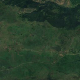
Nature
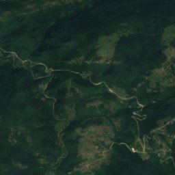
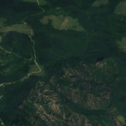
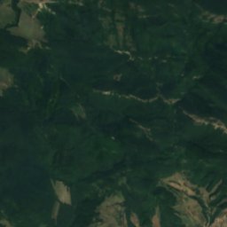
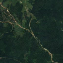
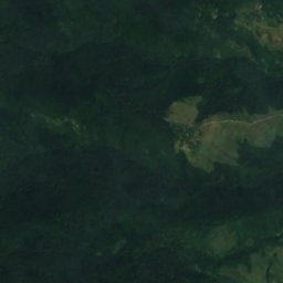
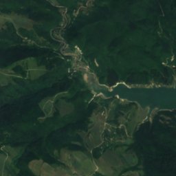
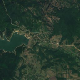
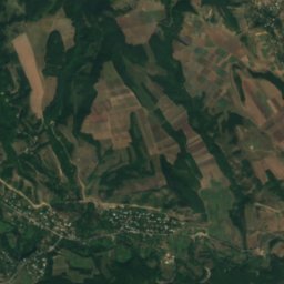
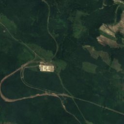
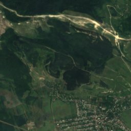
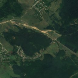
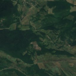
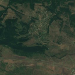
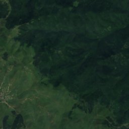
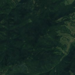
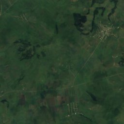
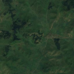
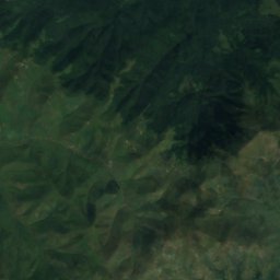
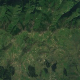
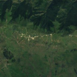
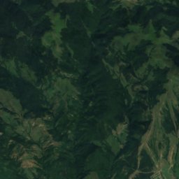
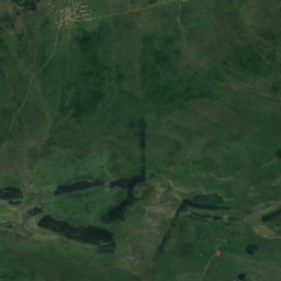
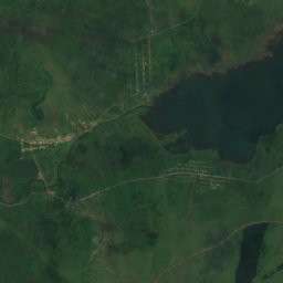
Satellite: Sentinel-2 cloudless 2016 by EOX IT Services GmbH · CC BY 4.0 · Contains modified Copernicus Sentinel data 2016
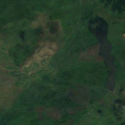
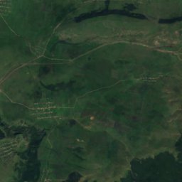
Algeti reservoir
Lake · 778 m


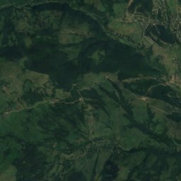
Mountains
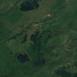
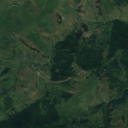
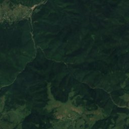

Heritage

Photo: http://travelgeorgia.ru/ · CC BY-SA 3.0 · Wikimedia CommonsReport this photo · linked, not stored
Birtvisi
Cultural Monuments of National Importance of Georgia · 1000

Photo: Nino Ozbetelashvili from Georgia · CC BY 2.0 · Wikimedia CommonsReport this photo · linked, not stored
Pitareti Monastery
Cultural Monuments of National Importance of Georgia · 1201

Museums


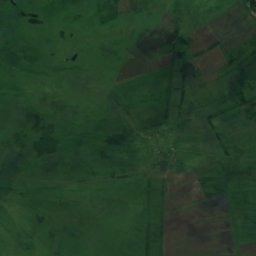
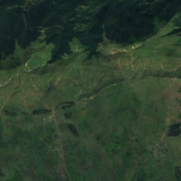
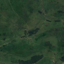
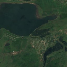
Satellite: Sentinel-2 cloudless 2016 by EOX IT Services GmbH · CC BY 4.0 · Contains modified Copernicus Sentinel data 2016
Თეთრიწყაროს მხარეთმცოდნეობის მუზეუმი





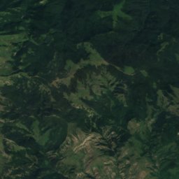
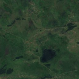
Satellite: Sentinel-2 cloudless 2016 by EOX IT Services GmbH · CC BY 4.0 · Contains modified Copernicus Sentinel data 2016
Ghazaros Aghayan House-Museum
Biographical museum · 1965